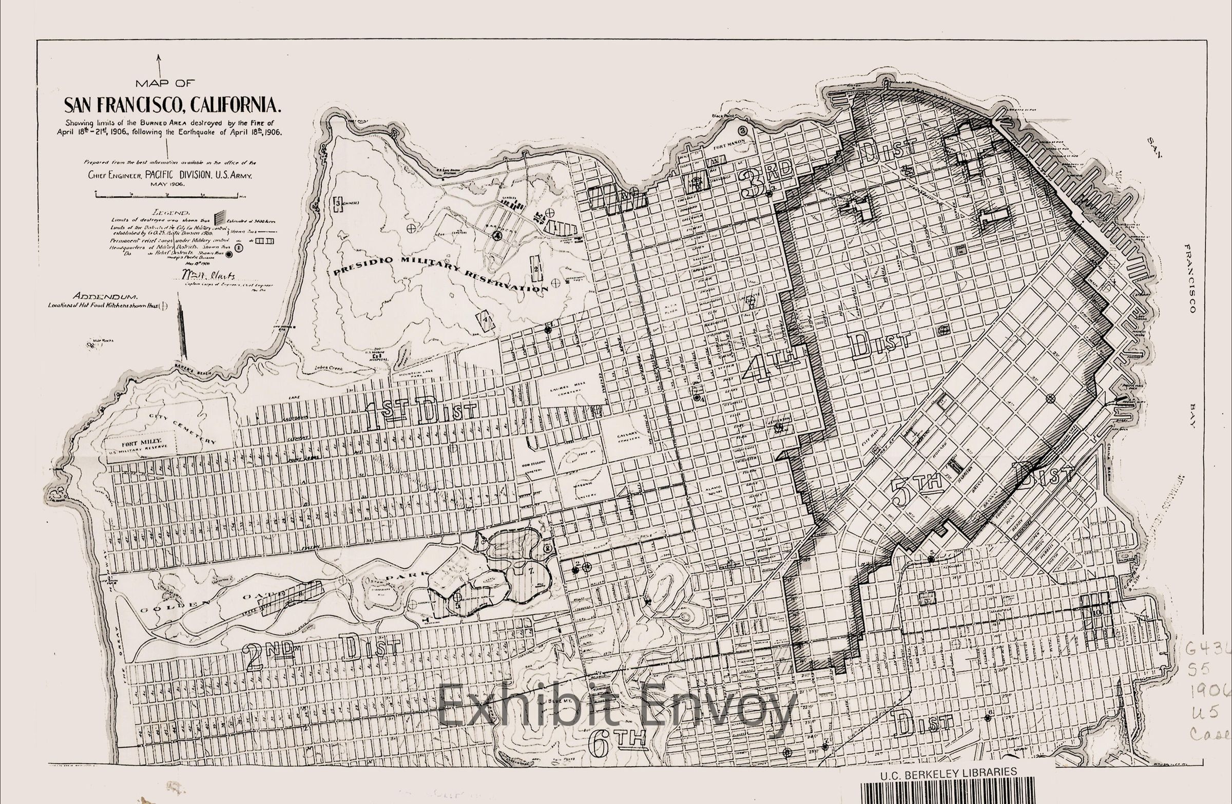
Map of 1906 San Francisco (Fire Area and Chinese Camp)
Entry/Object ID
FETE.022
Description
Earthquakes (1906 Earthquake)
Collection
UC Berkeley
Dimensions
Dimension Description
Sintra
Height
10 in
Width
16 in
Interpretative Labels
Label Type
Cultural/Historical Context
Label
U.S. Army Corps of Engineers Map of San Francisco, May 1906
Reproduction
Courtesy Bancroft Library, UC Berkeley, Historic Maps of the Bay Area Collection, G4364.S5 1906.U5.
This map shows the area destroyed by the fires that broke out following the 7.9 earthquake. The Chinese Camp is also shown on this map, marked by the number “3” in the northwestern part of the Presidio Military Reservation.