Name/Title
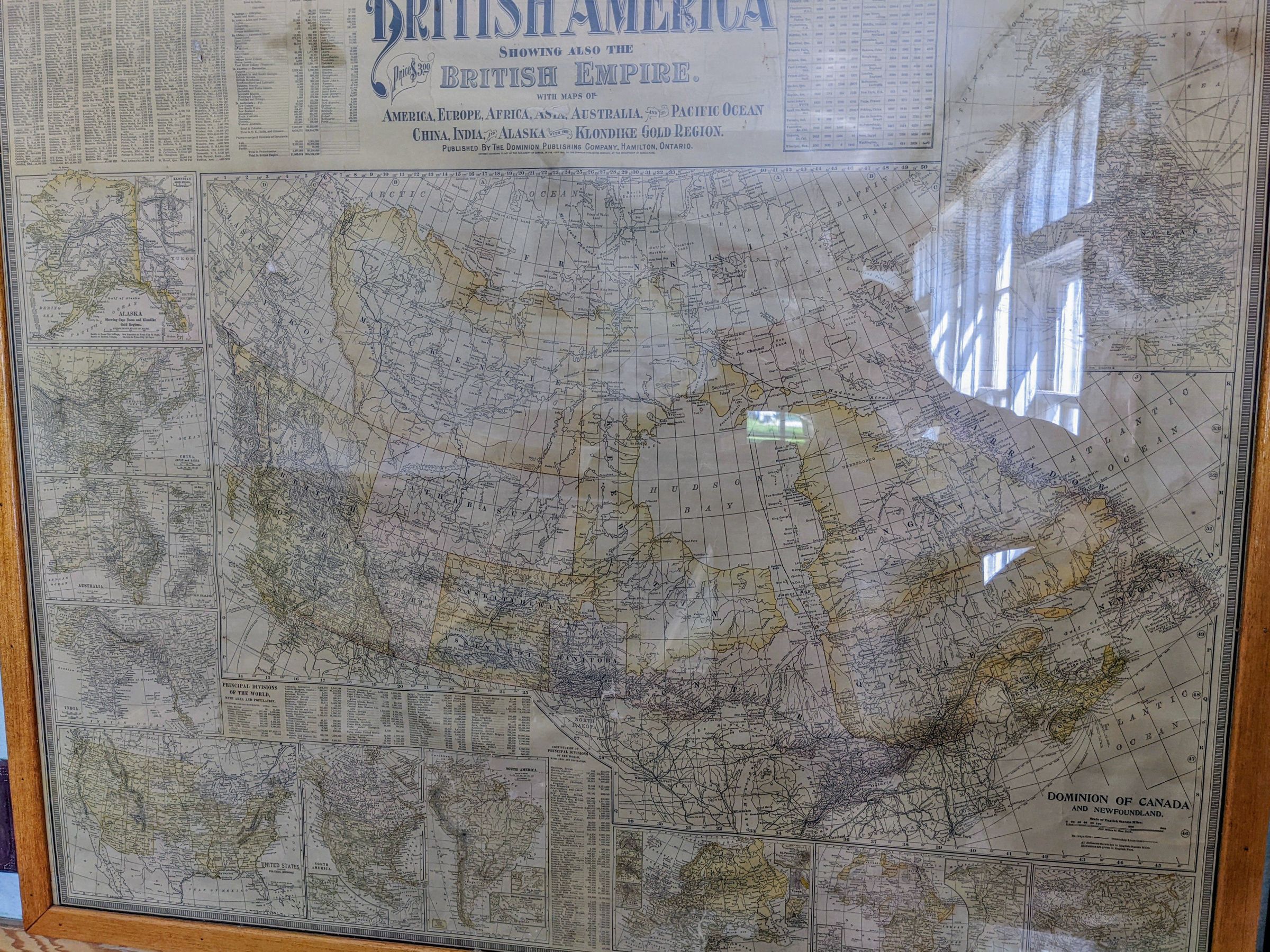
Map of the Dominion of Canada and British North AmericaDescription
A map of Canada from the year 1900. The map predates Alberta and Saskatchewan as provinces and rather shows them as districts of the North-West Territories. It also shows Manitoba in it's former much smaller size. along with the map it also has a list of prominent cities/towns and their (then current) population. interestingly, not only does it list Portage la Prairie, but it lists the population as being about the same as Edmonton at the time.
