Name/Title
MapEntry/Object ID
90.11.1Scope and Content
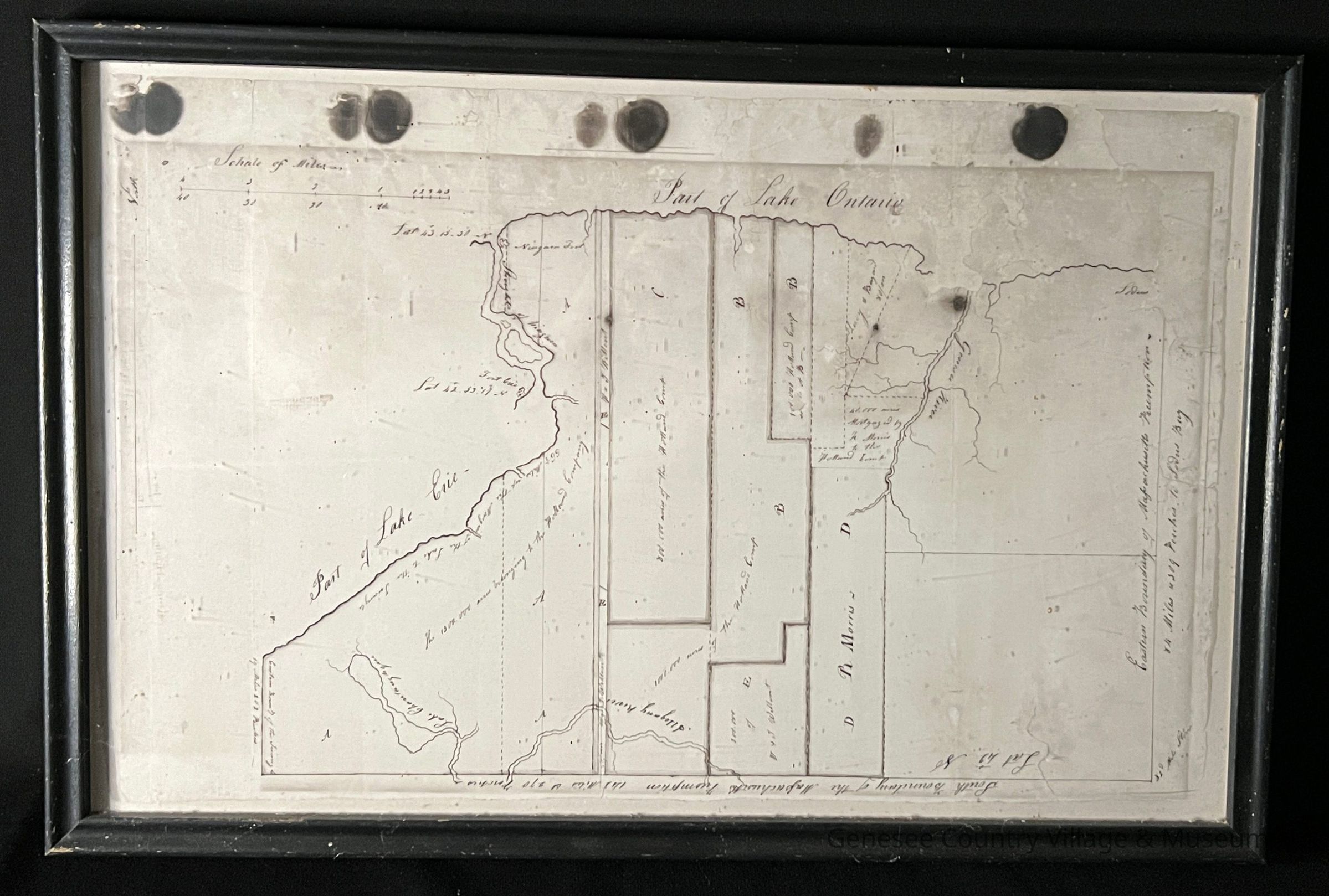
Reproduction. Hand drawn and hand colored map of the Holland Land Company acreage, the south and east boundaries of the Massachusetts Preemption, the Genesee River, part of Lake Erie, part of Lake Ontario, etc. c1792-1793.