Caldwell's Illustrated, Historical, Centennial Atlas of Greene County, Pennsylvania (1876)
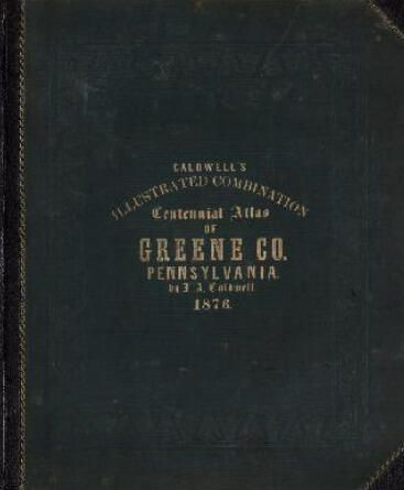
Caldwell's Illustrated, Historical, Centennial Atlas of Greene County, Pennsylvania (1876): See WEB LINKS to DOWNLOAD high-resolution images.
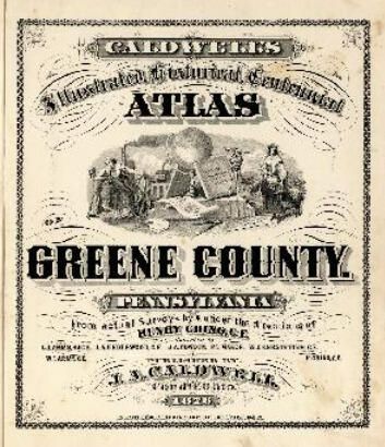
Caldwell's Illustrated, Historical, Centennial Atlas of Greene County, Pennsylvania (1876)

See WEB LINKS to DOWNLOAD high-resolution images.

Name/Title

Caldwell's Illustrated, Historical, Centennial Atlas of Greene County, Pennsylvania (1876)

Entry/Object ID

2018.1.152

Description

Includes indexes, map of the United States, map of Pennsylvania, maps of Greene County townships and communities, brief history of Greene County, and brief biographies of early Greene County residents.

Collection

Publications Collection

Acquisition

Accession

2018.1

Acquisition Method

Digital

Credit Line

Candice Lynn Buchanan

Book Details

Place Published

City

State/Province

Date Published

1876

LCCN

2007626861

Provenance

Notes

Source Citation: J. A. Caldwell, Caldwell's Illustrated, Historical, Centennial Atlas of Greene County, Pennsylvania (Condit, Ohio: J. A. Caldwell, 1876); digital images, David Rumsey Map Collection, Stanford Libraries (https://bit.ly/CaldwellAtlas : accessed 2022).