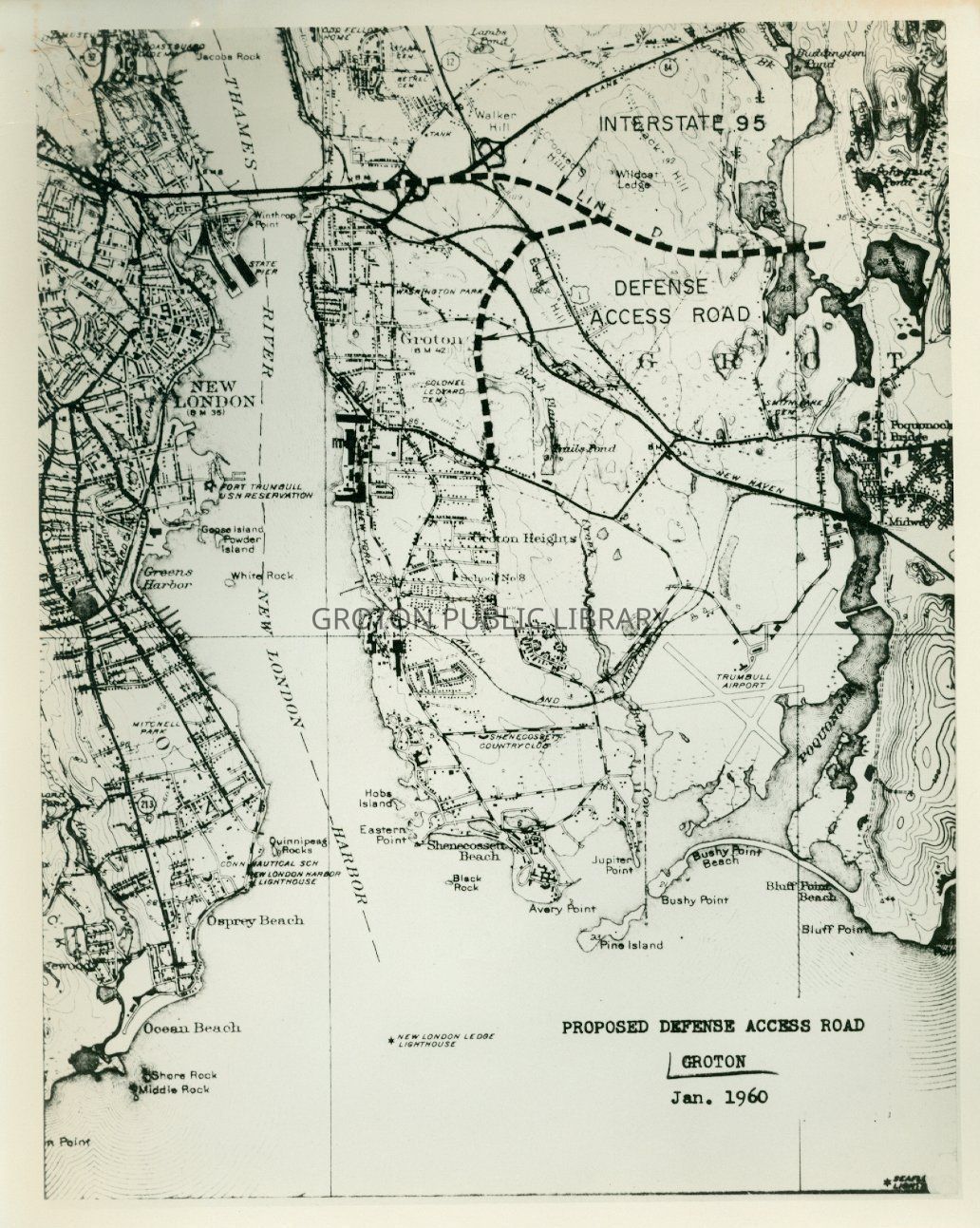
A b & w photo of a map of Proposed Defense Access Road - Groton Jan. 1960 (typed) Some names printed in black are, Interstate 95, Defense Access Road, Thames River ,New London Harbor *New London Ledge Lighthouse (Map is 8 X 10 )
Map Photograph of proposed Defense Access Road 1960
Name/Title
A b & w photo of a map of " Proposed Defense Access Road - Groton Jan. 1960 (typed) Some names printed in black are, Interstate 95, Defense Access Road, Thames River ,New London Harbor *New London Ledge Lighthouse (Map is 8" X 10" )
Entry/Object ID
2016.1.0864
Scope and Content
A b & w photo of a map of " Proposed Defense Access Road - Groton Jan. 1960 (typed) Some names printed in black are, Interstate 95, Defense Access Road, Thames River ,New London Harbor *New London Ledge Lighthouse (Map is 8" X 10" )
Collection
James L. Streeter Collection
Acquisition
Accession
2016.1
Source or Donor
Streeter, James L.
Acquisition Method
Gift
Lexicon
Nomenclature 4.0
Nomenclature Primary Object Term
Photograph
Nomenclature Sub-Class
Graphic Documents
Nomenclature Class
Documentary Objects
Nomenclature Category
Category 08: Communication Objects
LOC Thesaurus for Graphic Materials
Maps, Proposed works
Search Terms
Communications & Public Utilities, Highways, Maps, Defense Access Highway, Groton, Groton Heights, Interstate 95, New London Harbor, New London Ledge Lighthouse, Thames River
Archive Details
Restrictions
Access: Discolouration/Fading: and paper clip rust mark on back of photo.
Archive Notes
Date(s): Jan. 1960
General Notes
Note
Status: Good
Status By: Maureen A. McClellan
Status Date: 2019-04-01