Name/Title
Bluff PointEntry/Object ID
2026.002.004Scope and Content
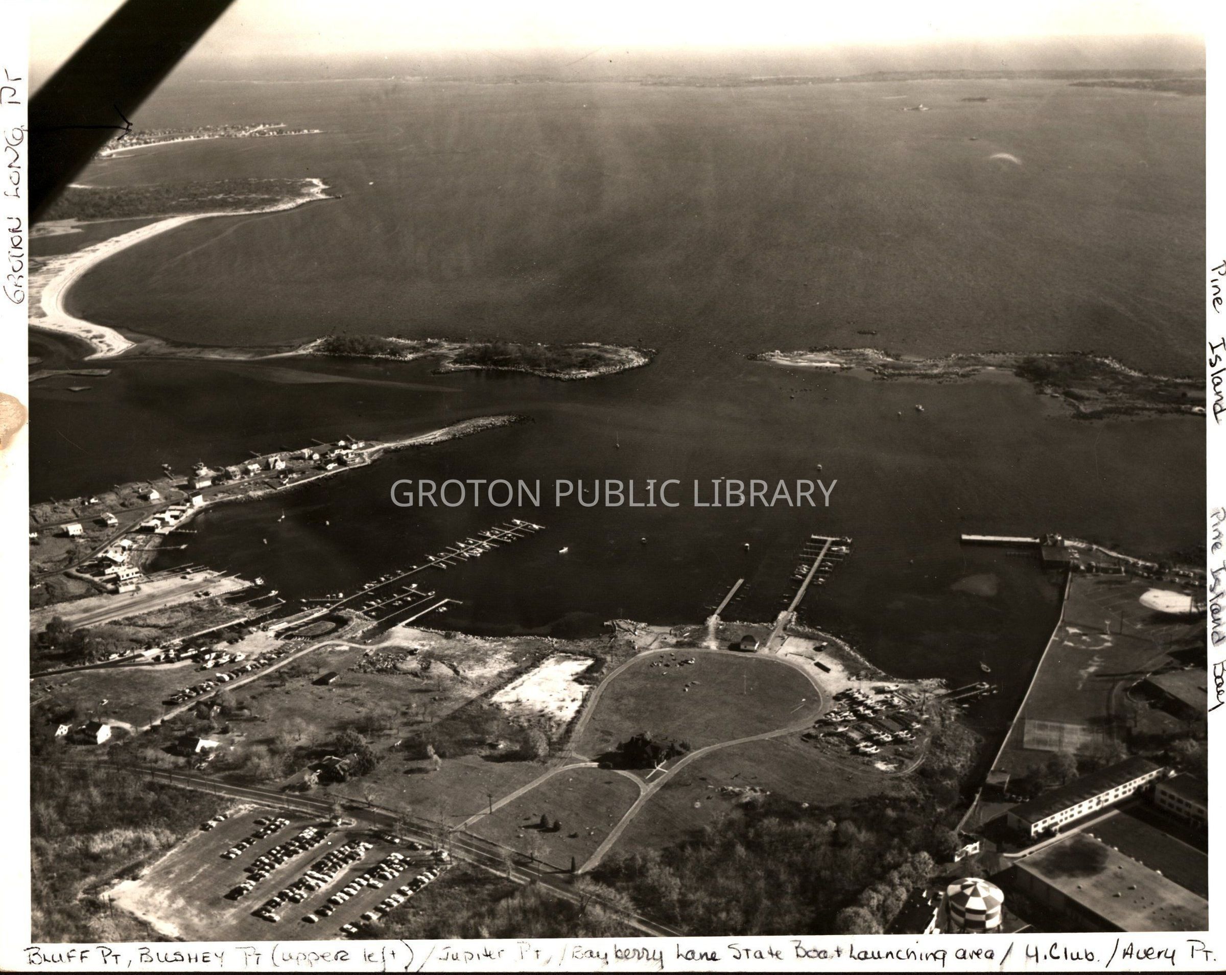
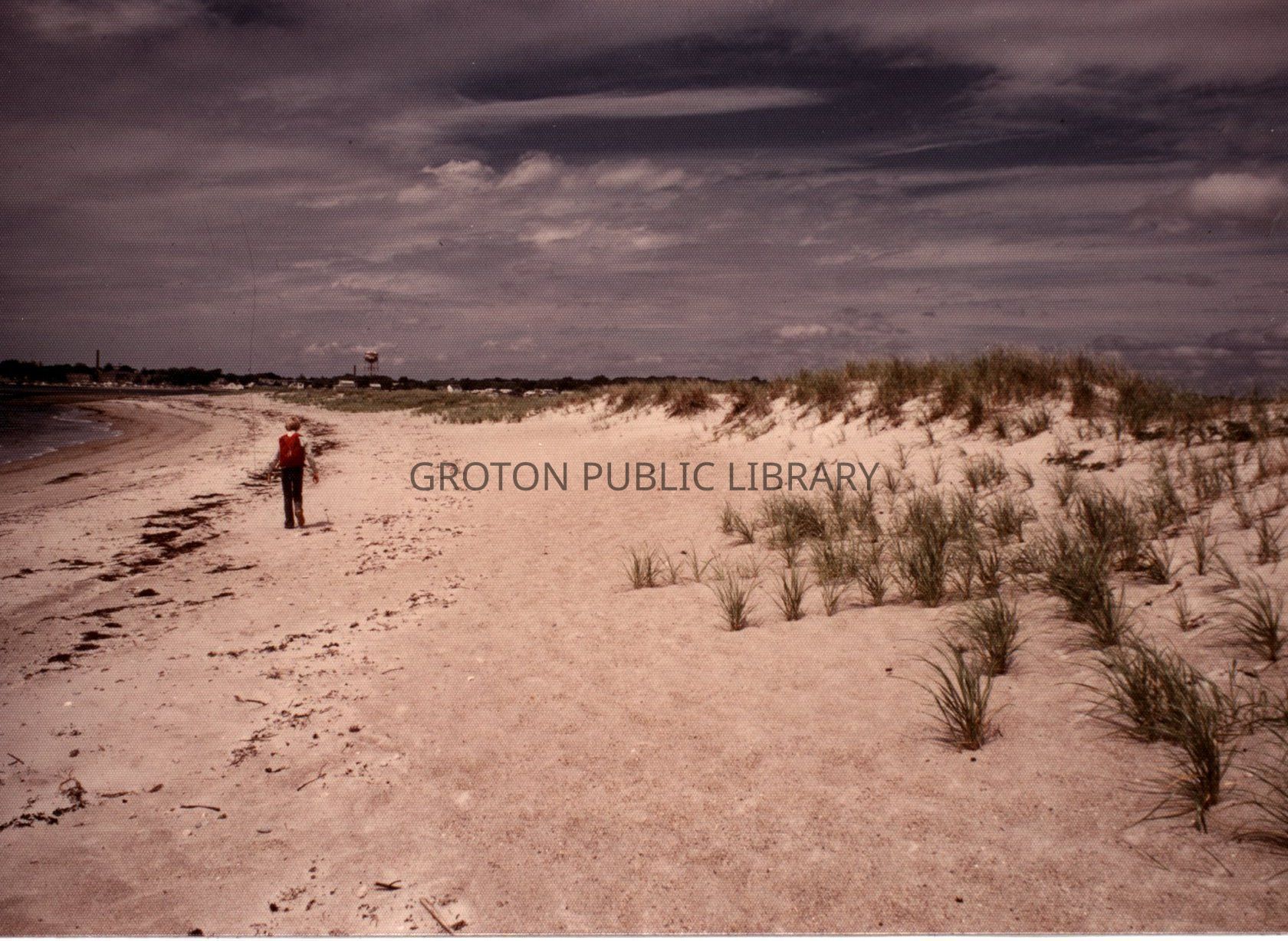
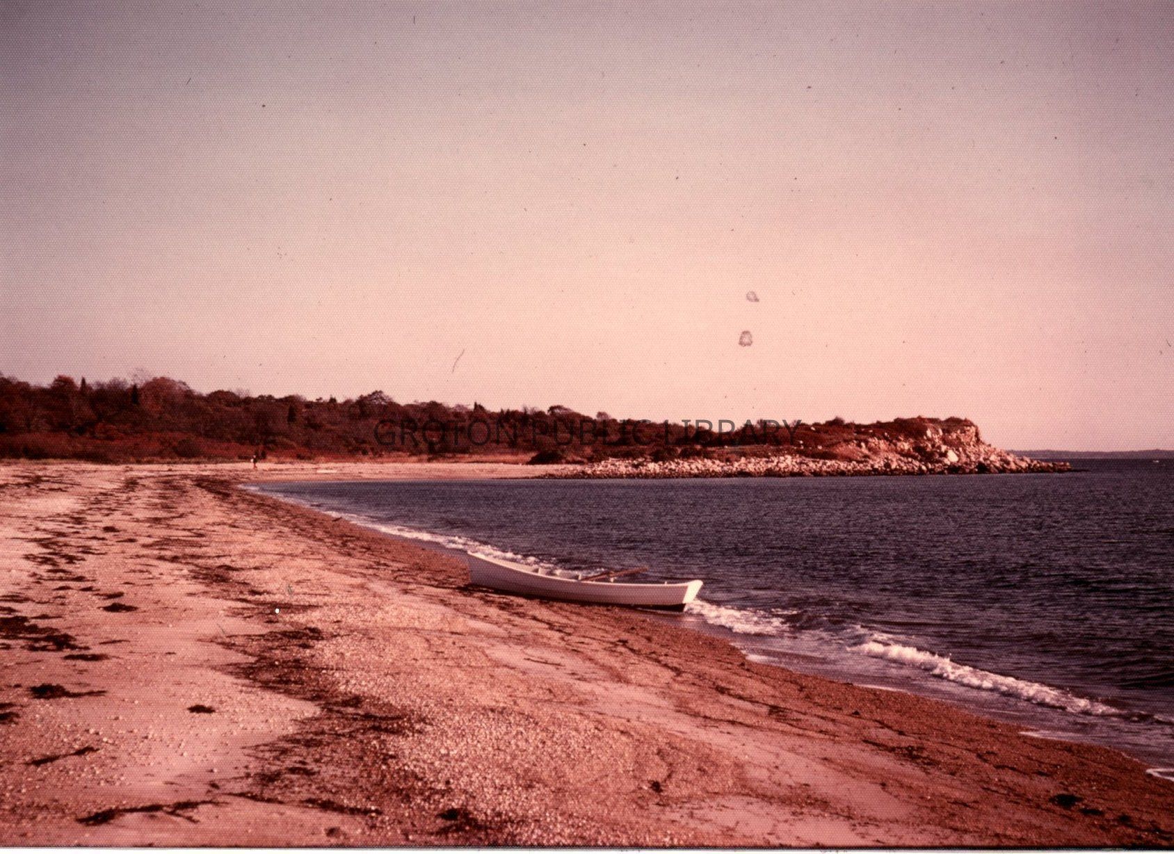
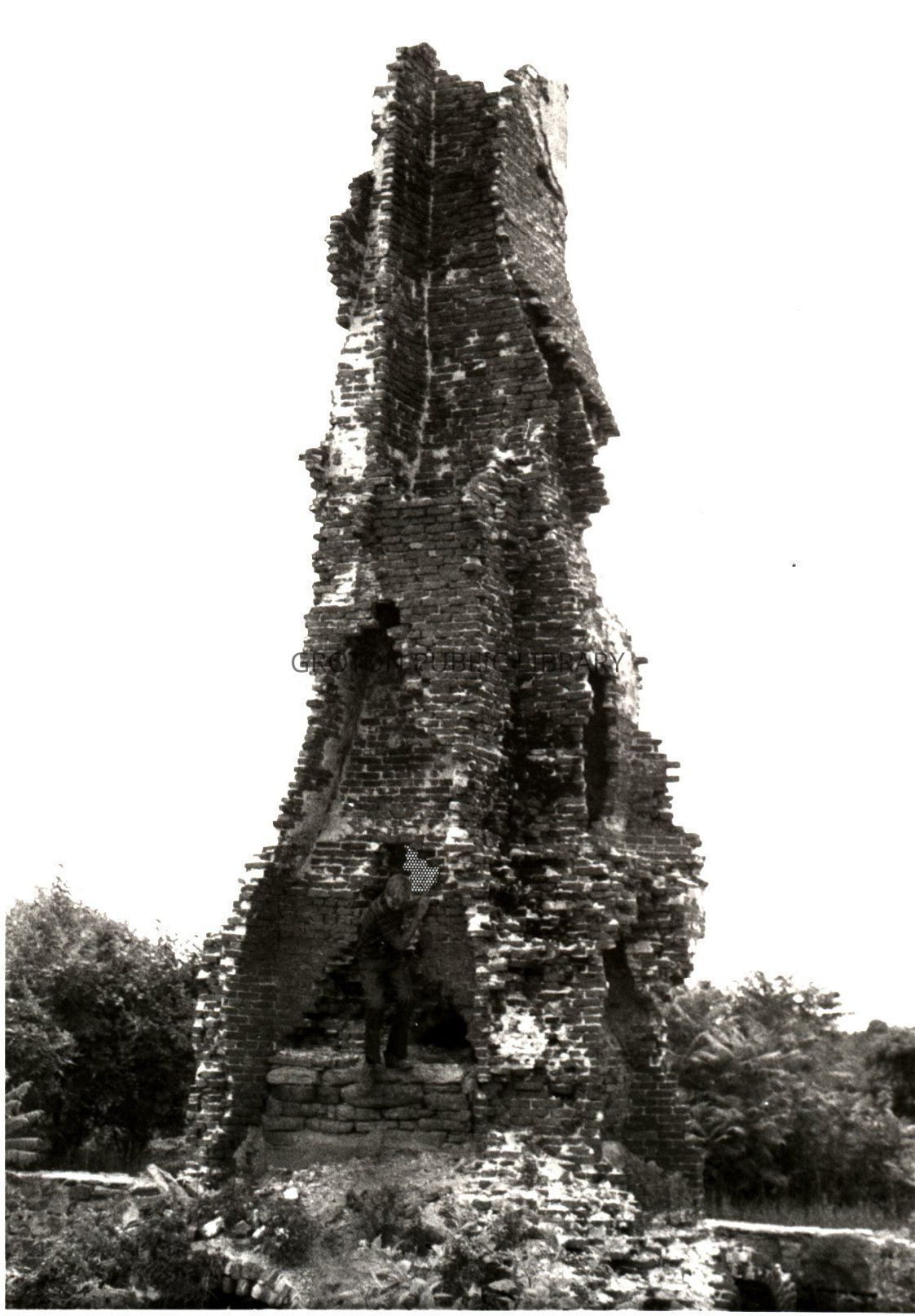
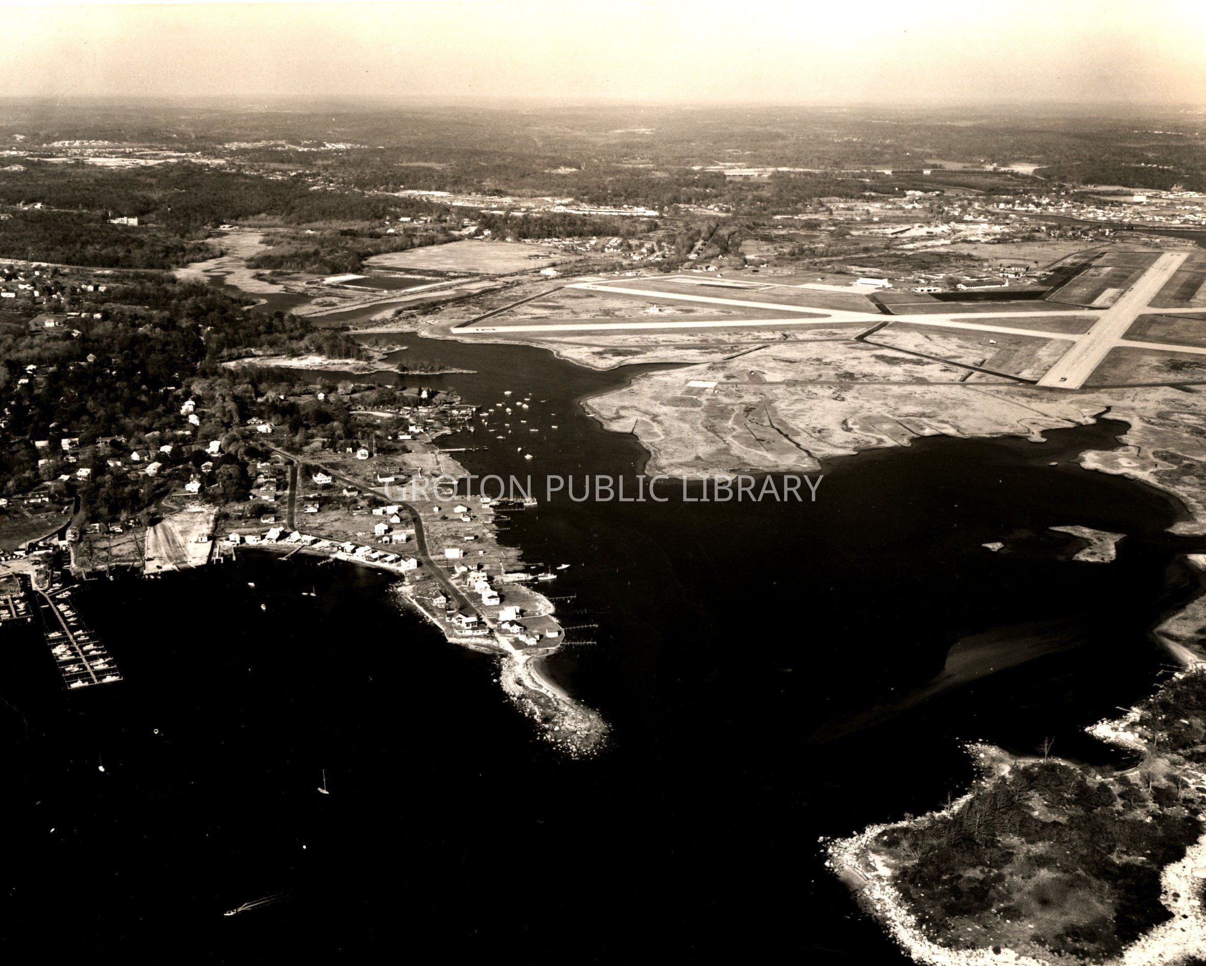
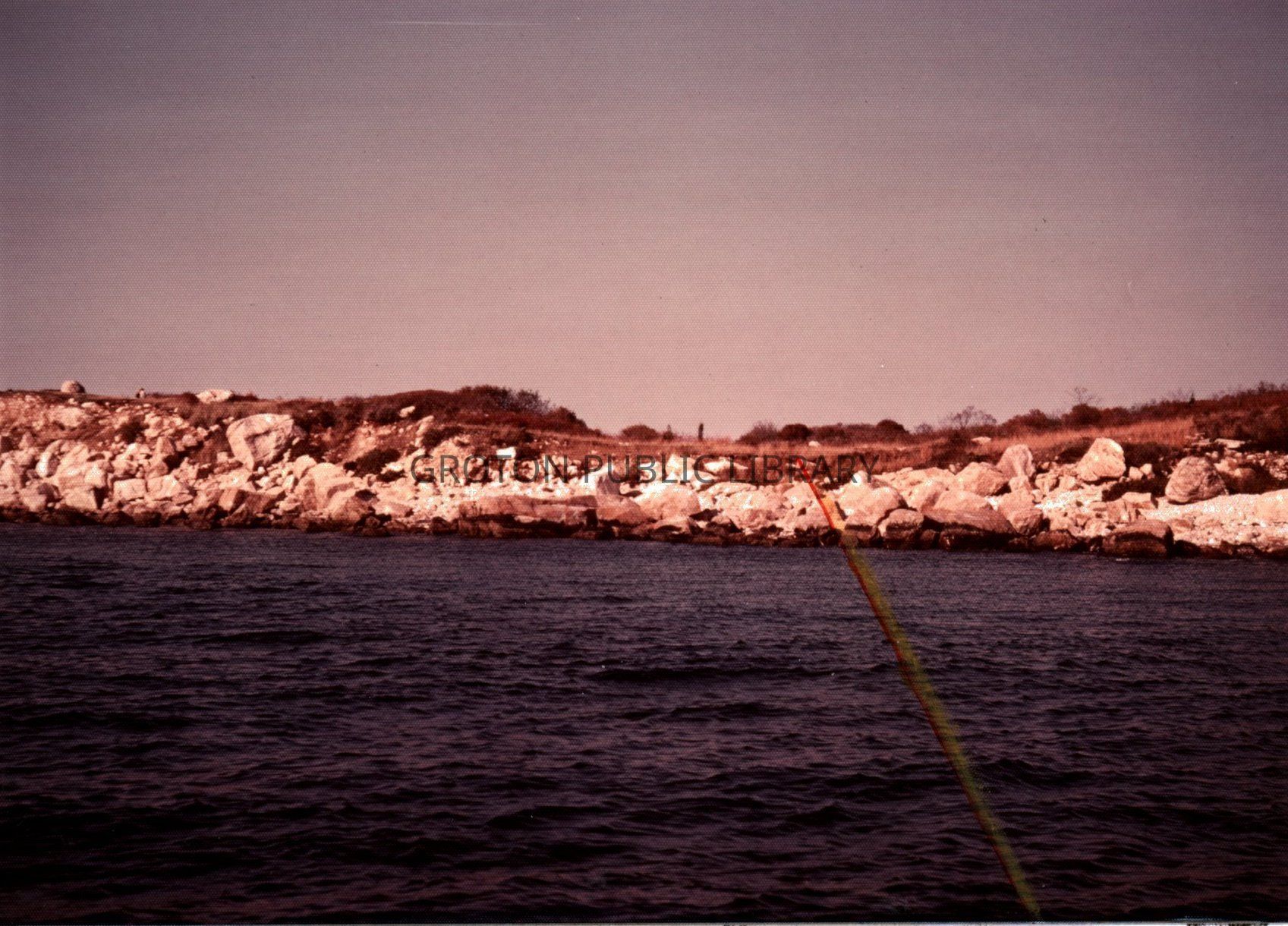
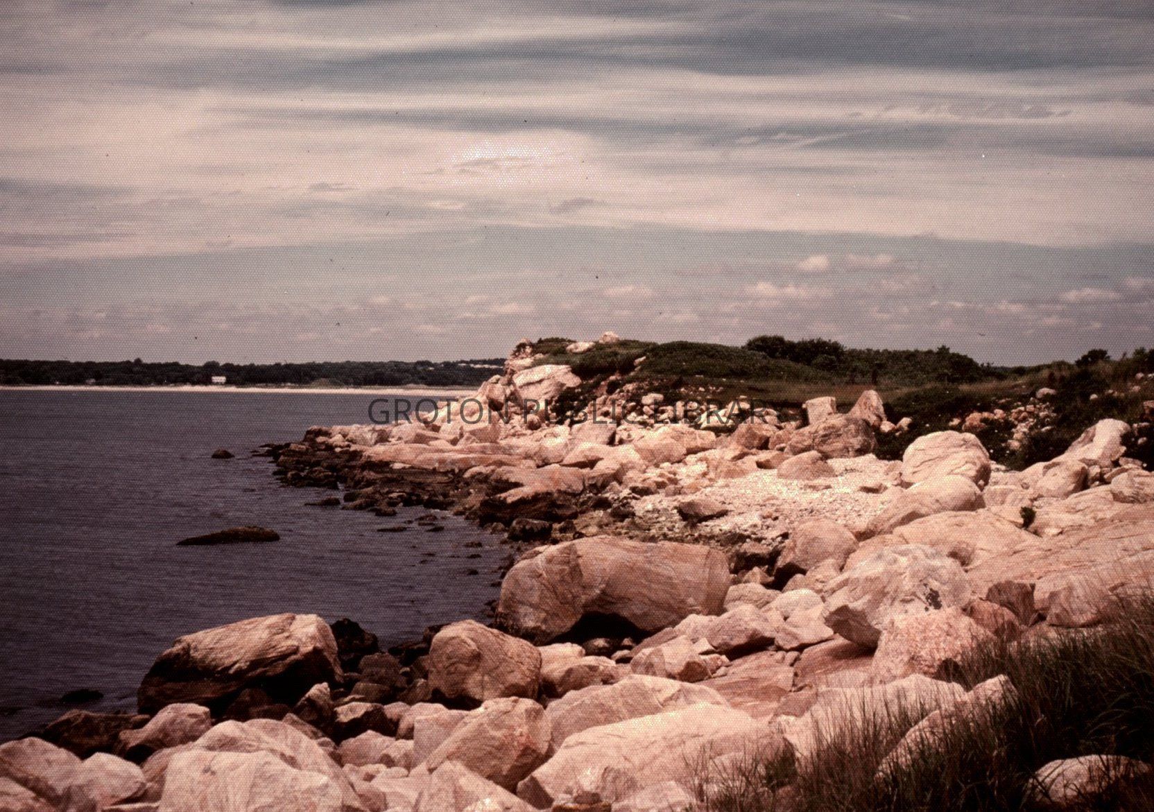
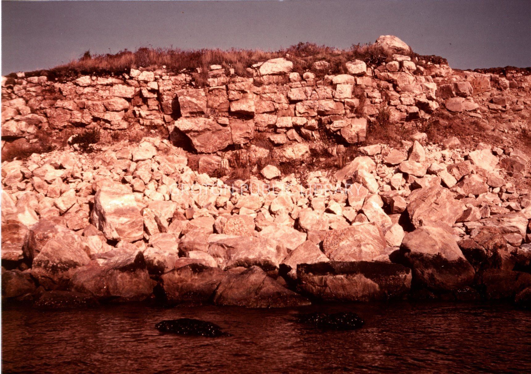
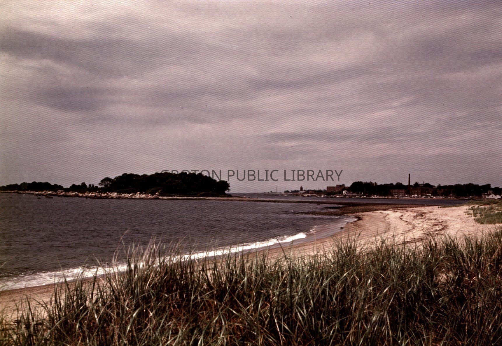
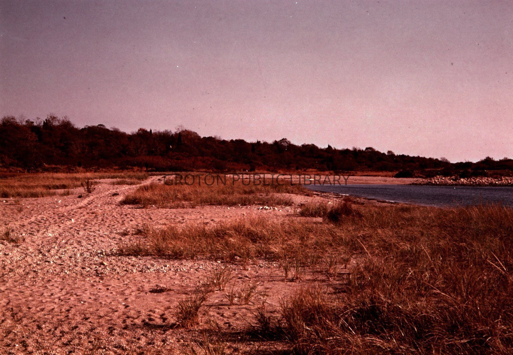
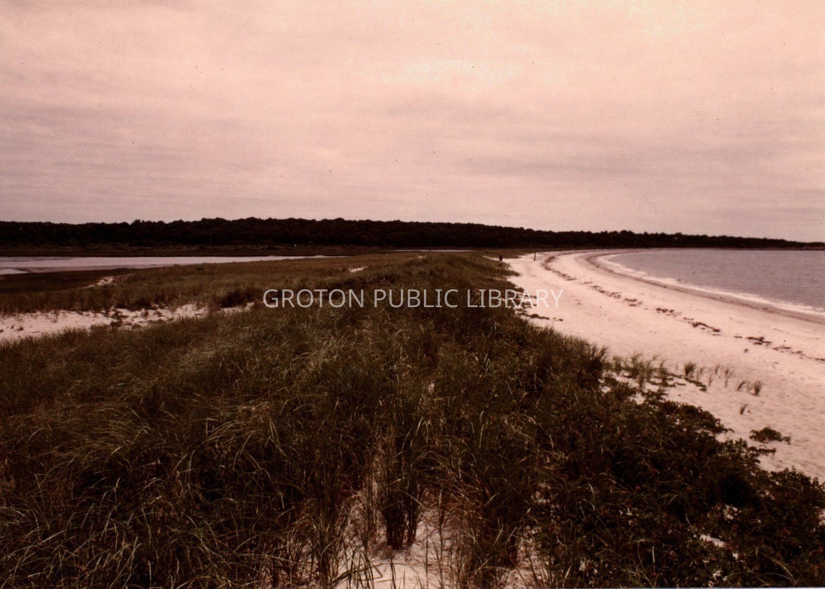
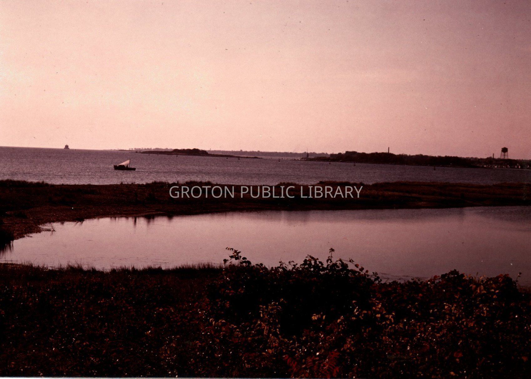
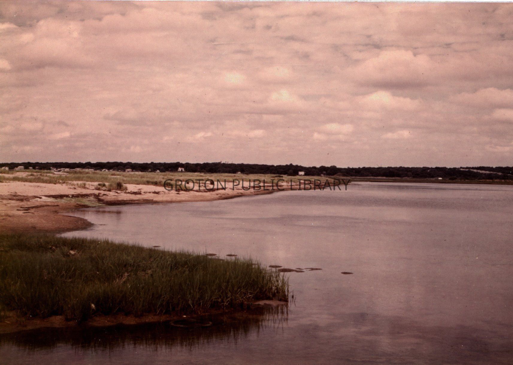
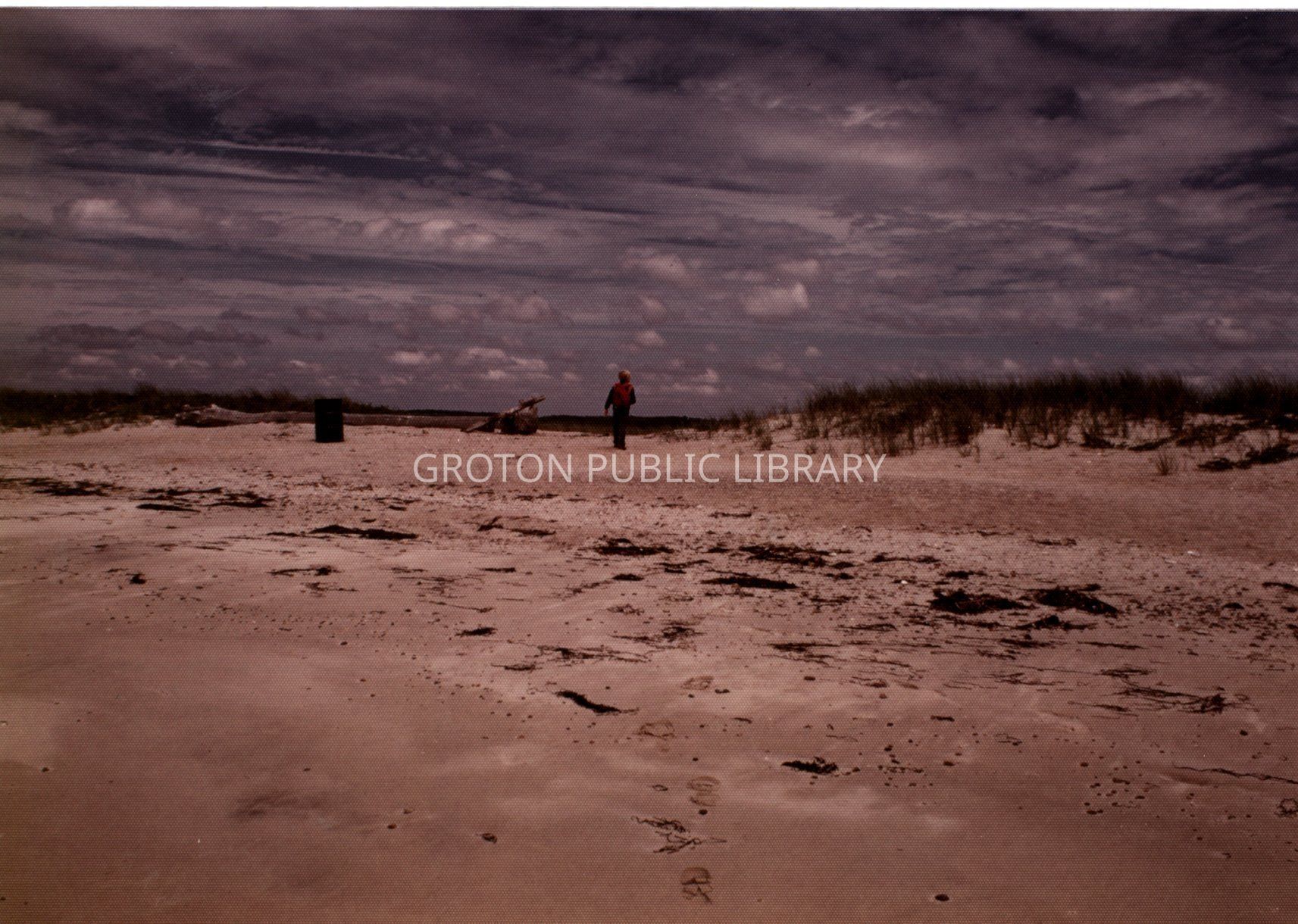
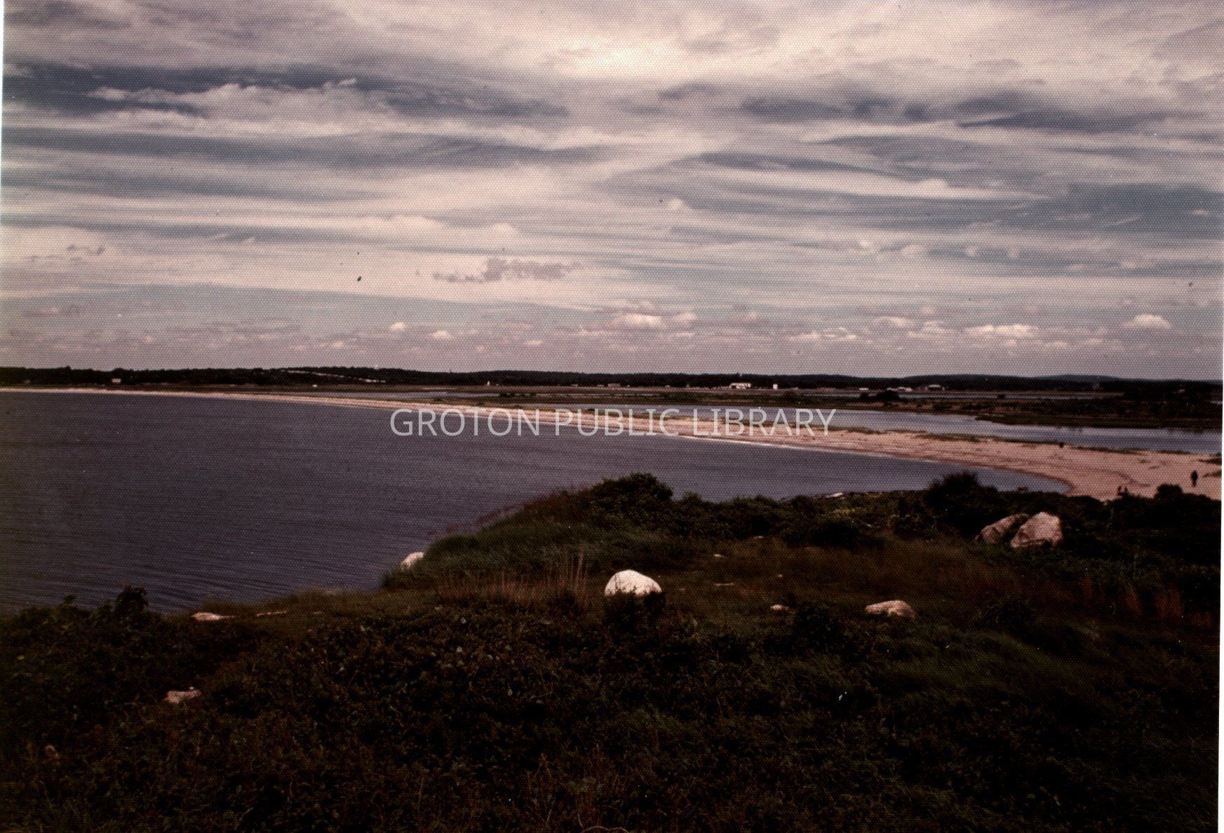
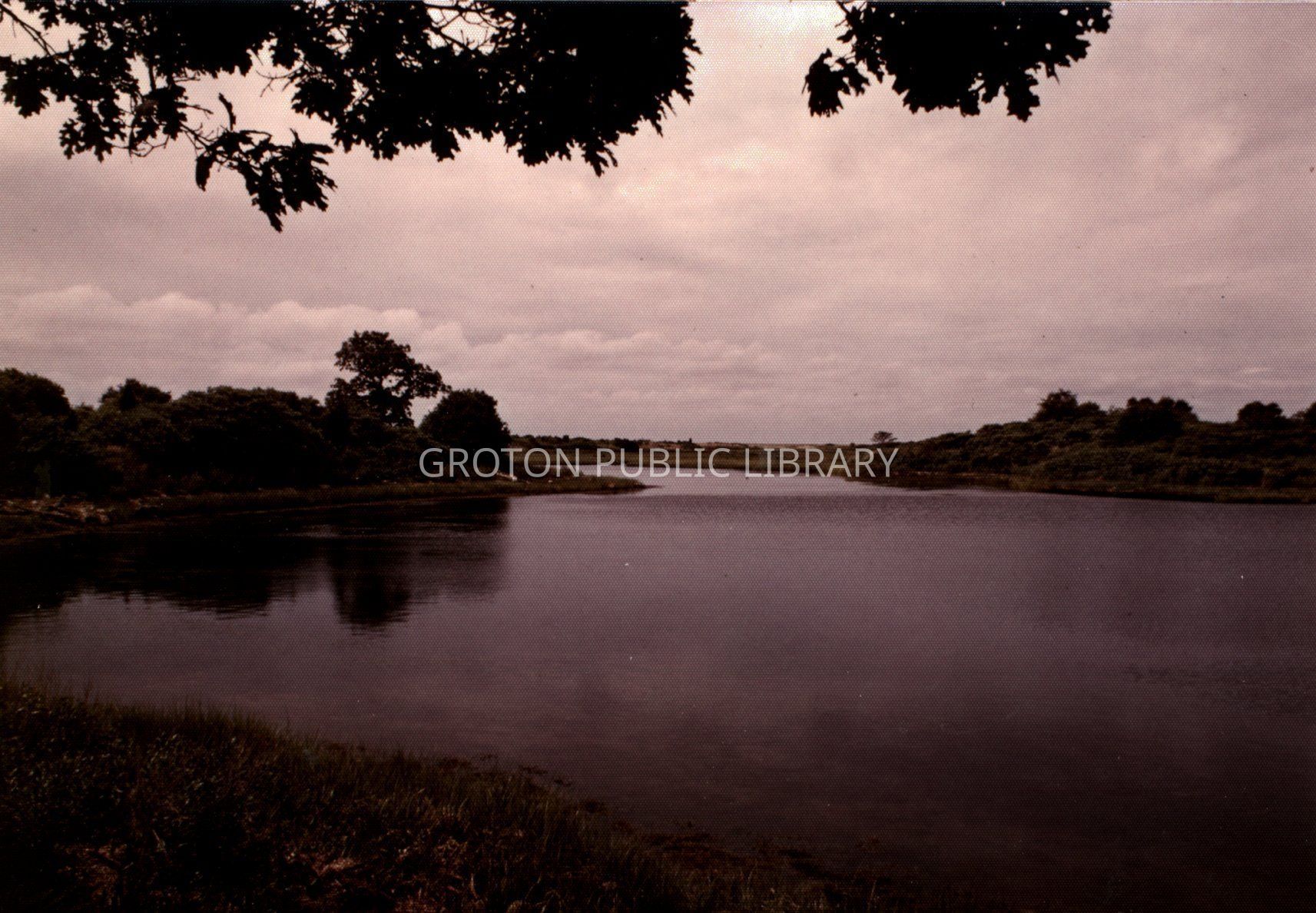
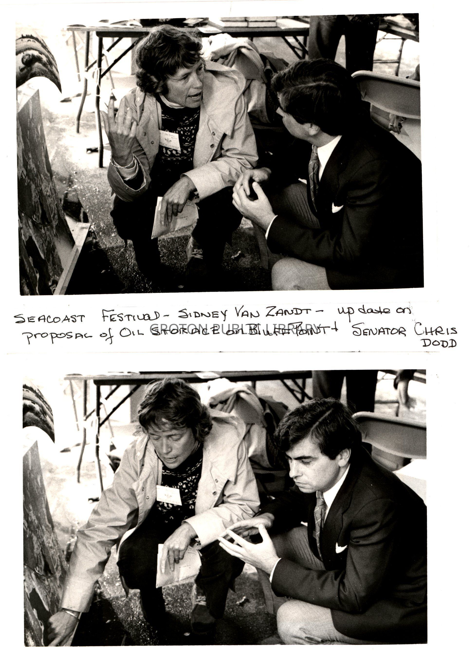
3 binders of material relating to Bluff Point compiled by Sidney Van Zandt in 1978 and 2018. The collection includes a typed history and chronology of Bluff Point compiled by Sidney Van Zandt, as well as maps, photographs, government studies, surveys, meeting minutes, correspondence and news clippings relating to the development of Bluff Point and efforts to save the land as a state park and coastal preserve, 1963-2017 (bulk, 1963-1981).
Bluff Point is an 800 acre State Park located off Depot Road (and directly across from the Groton-New London Airport) in Groton. The land was Pequot territory until 1638, when it was ceded to the Connecticut Colony by the Treaty of Hartford. It was formerly part of the John Winthrop, Jr. farm (granted by the Town of New London in 1649). The property was subsequently owned by Latham Avery and Henry Gardiner. In the early 1960s-1970s Bluff Point became the target of a number of development proposals including an end point of the proposed Long Island Bridge, the construction of a 4-lane highway connecting to the point, a 5,000-car parking lot for the beach at Bushy Point (complete with an amphitheater, basketball courts and other attractions), a helicopter emergency lift project, a sewer outfall, an underground oil storage space and a marina. The Bluff Point Advisory Council was formed in direct response to these proposals, and worked to conserve the land. The property has officially been open at a state park and coastal reserve since 1975.Collection
Van Zandt CollectionAcquisition
Accession
2026.002Source or Donor
Sidney Van ZandtAcquisition Method
DonationLexicon
Nomenclature 4.0
Nomenclature Secondary Object Term
ScrapbookNomenclature Primary Object Term
AlbumNomenclature Sub-Class
MemorabiliaNomenclature Class
Documentary ObjectsNomenclature Category
Category 08: Communication ObjectsSearch Terms
Groton Open Space Association, Bluff Point, Bluff Point Coastal Reserve, Bluff Point ConnectorArchive Details
Creator
Sidney Van ZandtDate(s) of Creation
1963 - 2017Primary Language
EnglishProvenance
Notes
Admin or Biographical History: Bluff Point is an 800 acre State Park located off Depot Road (and directly across from the Groton-New London Airport) in Groton. The land was Pequot territory until 1638, when it was ceded to the Connecticut Colony by the Treaty of Hartford. It was formerly part of the John Winthrop, Jr. farm (granted by the Town of New London in 1649). The property was subsequently owned by Latham Avery and Henry Gardiner. In the early 1960s-1970s Bluff Point became the target of a number of development proposals including an end point of the proposed Long Island Bridge, the construction of a 4-lane highway connecting to the point, a 5,000-car parking lot for the beach at Bushy Point (complete with an amphitheater, basketball courts and other attractions), a helicopter emergency lift project, a sewer outfall, an underground oil storage space and a marina. The Bluff Point Advisory Council was formed in direct response to these proposals, and worked to conserve the land. The property has officially been open at a state park and coastal reserve since 1975.
Custodial History: Materials were compiled into scrapbooks by Sidney Van Zandt in 1978. In 2018 Sidey re-organized the material into binders, replacing newsprint with photocopies and placing items into plastic sleeves before donating them to the Groton Public Library.