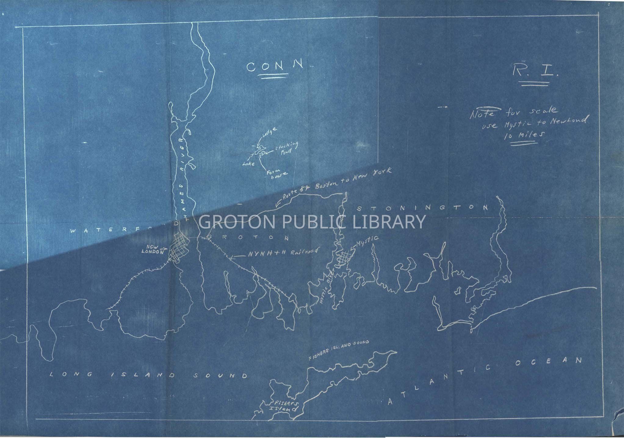
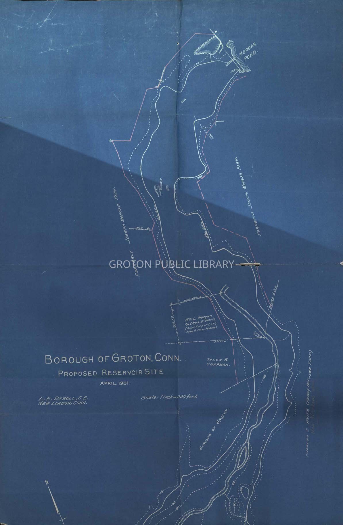
"CONN R.I. Note for Scale Use Mystic to New Lond 10 Miles" and "Borough of Groton, Conn. Proposed Reservoir Site April 1931."
Entry/Object ID
2016.1.0691
Scope and Content
2 blueprints, 6 fold marks, blue and white 1) Handwritten in white that begins "CONN R.I. Note for Scale Use Mystic to New Lon 10 Miles…." "1992.36" written in pencil on a bottom left corner. 2) Blueprint, printed in white begins, " Borough of Groton , Conn. Proposed Reservoir Site April 1931." L.E. Daboll, C.E. New London Conn., Scale: 1 inch= 200 feet…" "Groton Boro 1992.36" is in pencil a bottom left corner. This blueprint is not as in as good shape as the first.
Collection
James L. Streeter Collection
Acquisition
Accession
2016.1
Source or Donor
Streeter, James L.
Acquisition Method
Gift
Lexicon
Nomenclature 4.0
Nomenclature Secondary Object Term
Blueprint
Nomenclature Primary Object Term
Copy, Reprographic
Nomenclature Sub-Class
Other Documents
Nomenclature Class
Documentary Objects
Nomenclature Category
Category 08: Communication Objects
LOC Thesaurus for Graphic Materials
Blueprints, Land use, Reservoirs
Search Terms
Maps, Real Estate, Records, Land, Towns, Water, Ernie Post Papers, Groton, Groton Borough, Joseph Morgan Farm, Morgan Pond, Morgan Pond Reservoir, Nelson Burrows Farm, Route 84, Land Records
Archive Details
Restrictions
Access: Discolouration/fading, tears/rips, surface soiling and wear. 2nd blueprint is not in as shape as the first.
Archive Notes
Late Create Date: 1931
General Notes
Note
Status: Fair
Status By: Maureen A. McClellan
Status Date: 2018-11-05