Name/Title
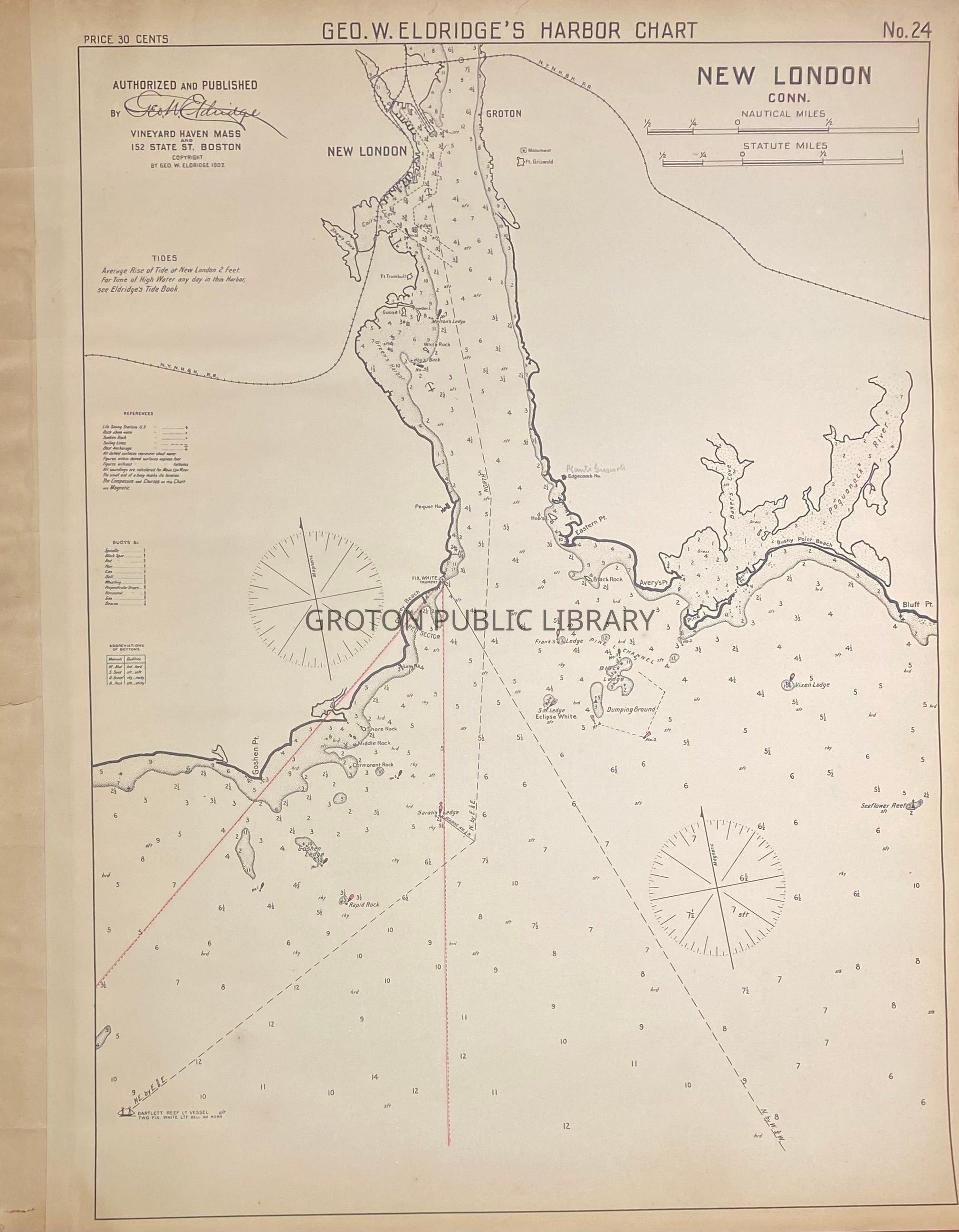
"George W. Eldridge's Harbor Chart, New London, Conn.," 1907Entry/Object ID
2026.023.011Scope and Content
Chart, "George W. Eldridge's Harbor Chart, New London, Conn.," 1907. Detailed map of the Groton shoreline along the Thames River (north to the railroad bridge) and Fisher's Island Sound (Avery Point, Baker's Cove, Pine Island, Bushy Point, Poquonnock River). Includes information on the tides, views of rocks and ledges and buoys, and depths of the channel.Collection
Streeter CollectionAcquisition
Accession
2026.023Source or Donor
Mr. James L. StreeterAcquisition Method
DonationLexicon
Nomenclature 4.0
Nomenclature Primary Object Term
ChartNomenclature Sub-Class
Graphic DocumentsNomenclature Class
Documentary ObjectsNomenclature Category
Category 08: Communication ObjectsSearch Terms
New London Harbor, Avery Point, Eastern Point, Baker's Cove, Pine Island, Bushy Point, Bluff Point, Poquonnock RiverArchive Details
Creator
George W. EldridgeDate(s) of Creation
1907Archive Notes
Date(s): 1907