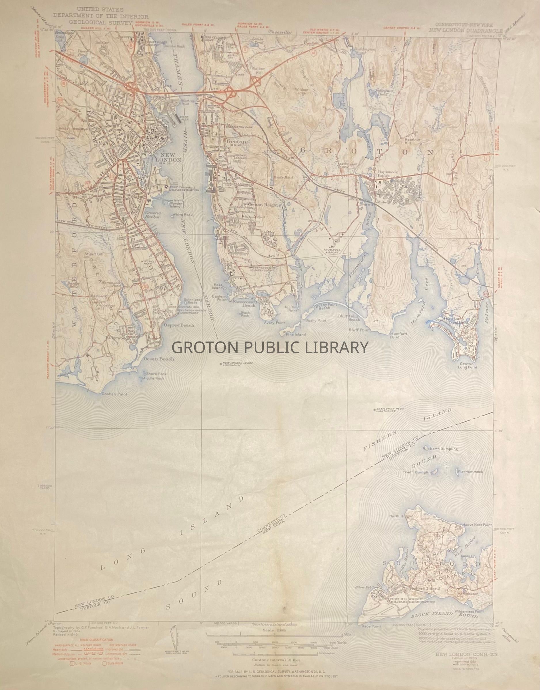
Geological Survey, "Connecticut-New York: New London Quadrangle," by the United States Department of the Interior, 1938 edition reprinted 1951 with corrections. Map of Groton with notes on the geology and elevation of the town from the Thames River east to Palmer Cove and from Fisher's Island Sound north to Center Groton.
Collection
Streeter Collection
Acquisition
Accession
2026.023
Source or Donor
Mr. James L. Streeter
Acquisition Method
Donation
Lexicon
Nomenclature 4.0
Nomenclature Secondary Object Term
Map
Nomenclature Primary Object Term
Cartograph
Nomenclature Sub-Class
Graphic Documents
Nomenclature Class
Documentary Objects
Nomenclature Category
Category 08: Communication Objects
Search Terms
New London Harbor, Avery Point, Eastern Point, Baker's Cove, Pine Island, Bushy Point, Bluff Point, Poquonnock River, Mumford Cove