Name/Title
Highway and Bridleway Survey, 1778Entry/Object ID
2026.014.011Scope and Content
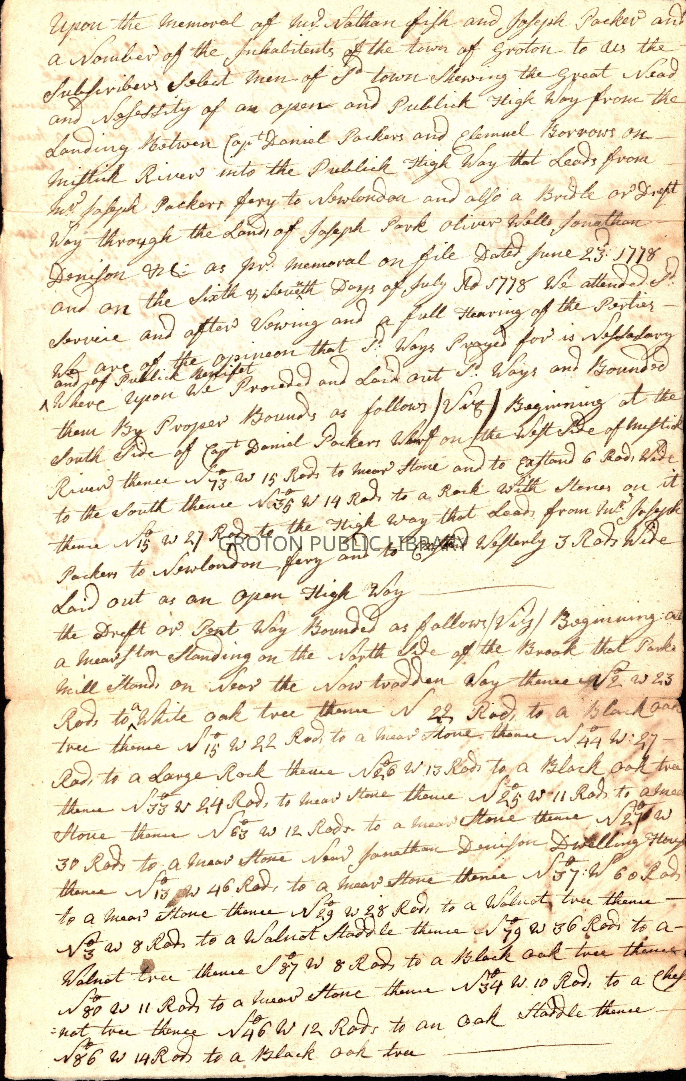
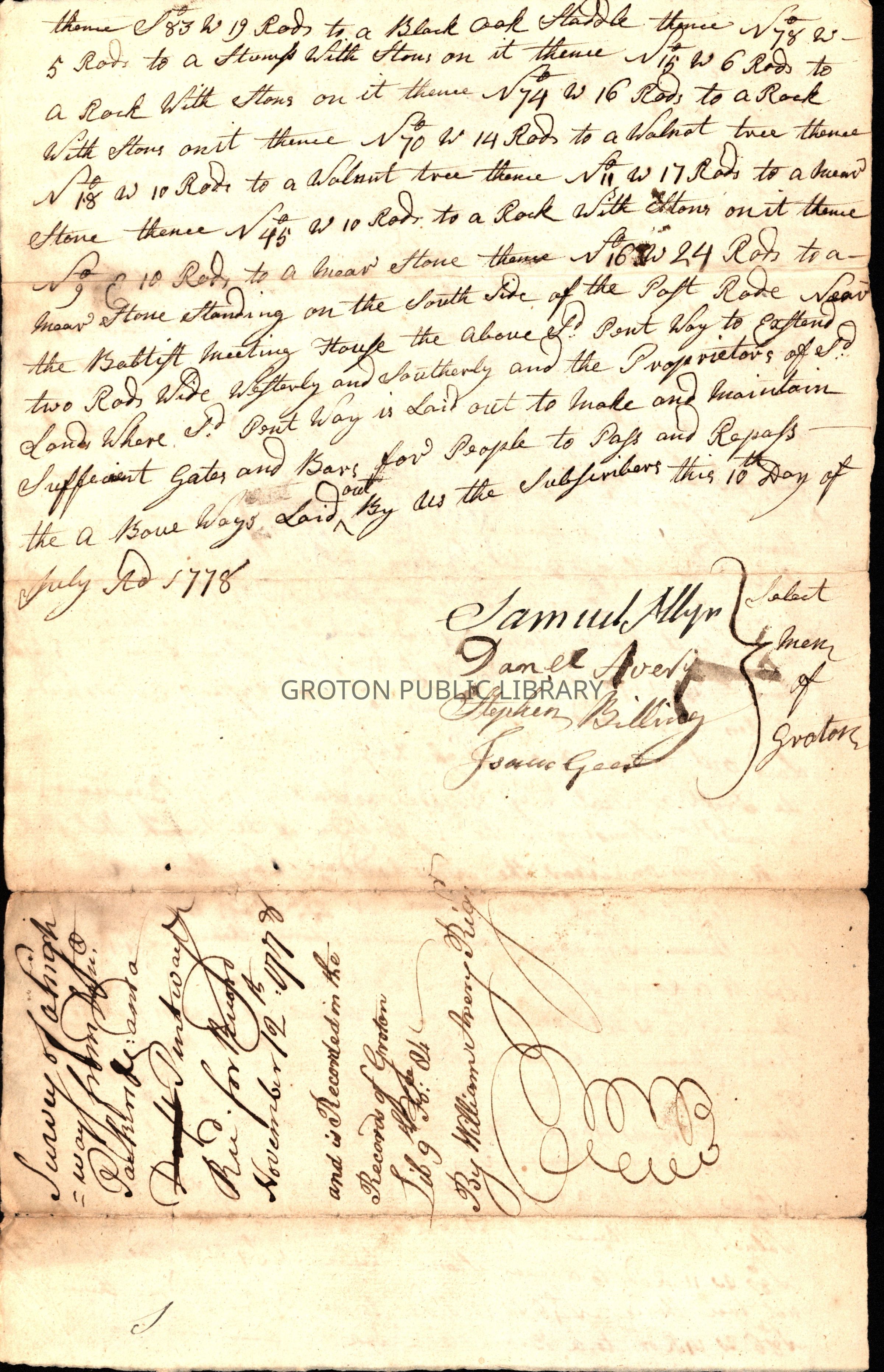
Survey of a highway leading from Joseph Packer's ferry landing to the landing of Daniel Packer and Elemuel Burrows on the Mystic River, and also a bridleway (riding path) through the lands of Joseph Park, Oliver Wells and Jonathan Denison. Received for record by William Avery, Groton Town Clerk, November 12, 1778.
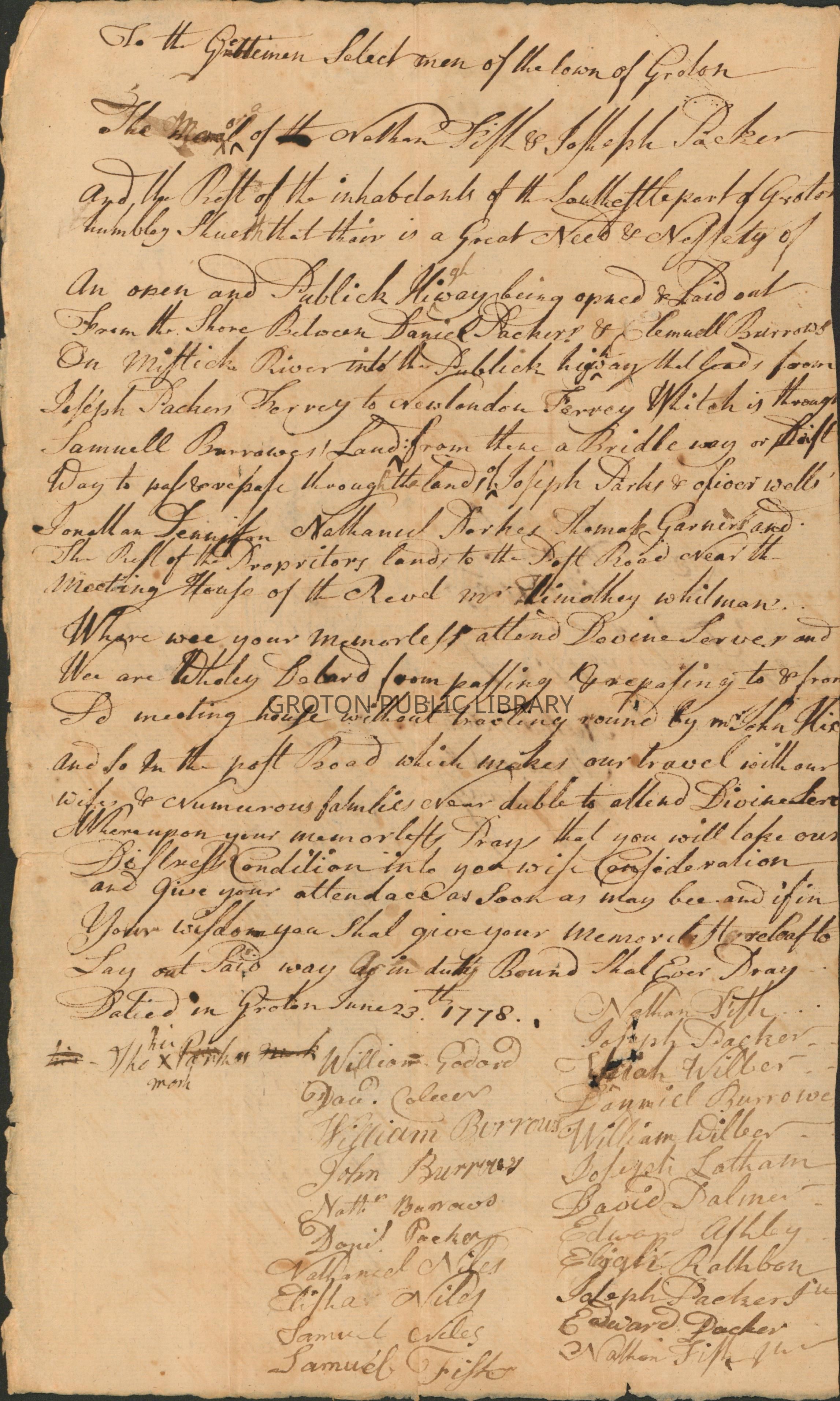
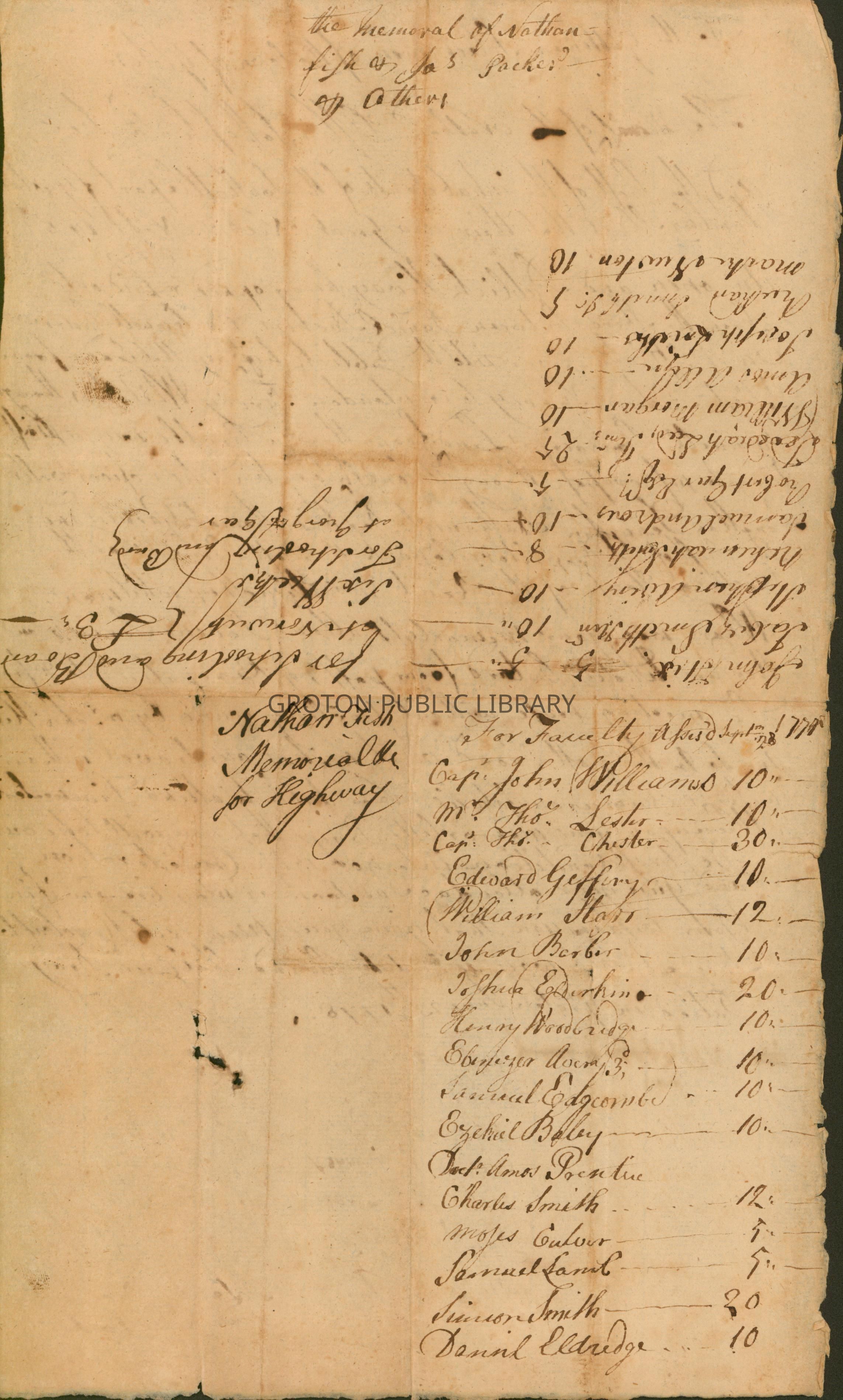
Also, a petition for a highway connecting the landings between Daniel and Joseph Packer's properties on the Mystic River, dated June 23, 1778 and signed by William Goddard, William Burrows, John Burrows, Nathan Burrows, Daniel Packer, Nathaniel Niles, Elisha Niles, Samuel Niles, Samuel Fish, Nathan Fish, Joseph Packer, Daniel Burrows, William Wilber, Joseph Latham, David Palmer, Edward Ashby, Elijah Rathbun, Joseph Packer Jr., Edward Packer, Nathan Fish Jr.Collection
Lacerte CollectionAcquisition
Accession
2026.014Source or Donor
James LacerteAcquisition Method
GiftLexicon
Nomenclature 4.0
Nomenclature Tertiary Object Term
Survey, LandNomenclature Secondary Object Term
MapNomenclature Primary Object Term
CartographNomenclature Sub-Class
Graphic DocumentsNomenclature Class
Documentary ObjectsNomenclature Category
Category 08: Communication ObjectsSearch Terms
Road Construction, New London Road, Water Street, Daniel Packer InnArchive Details
Date(s) of Creation
1778Archive Notes
Date(s): 1778