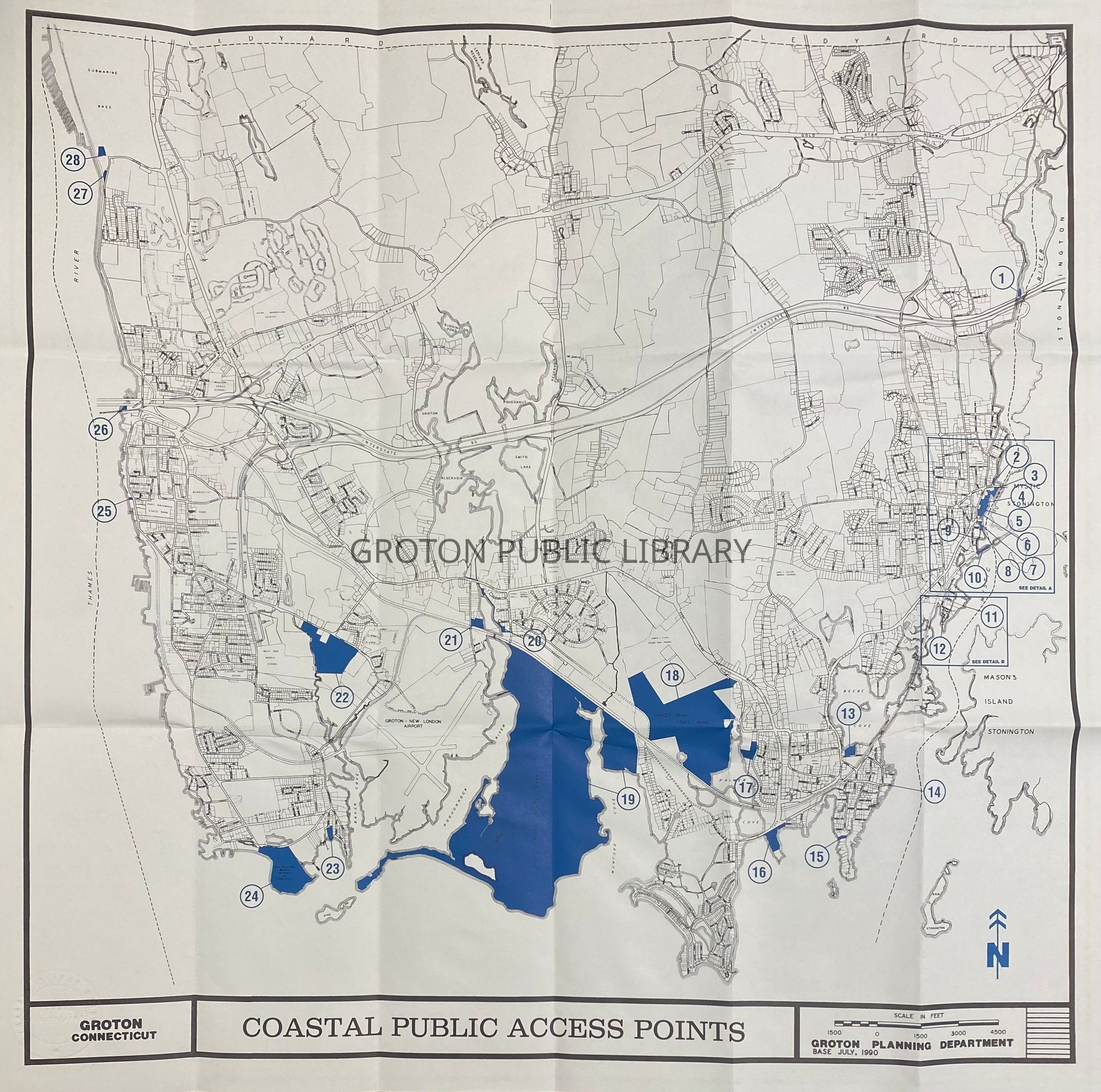
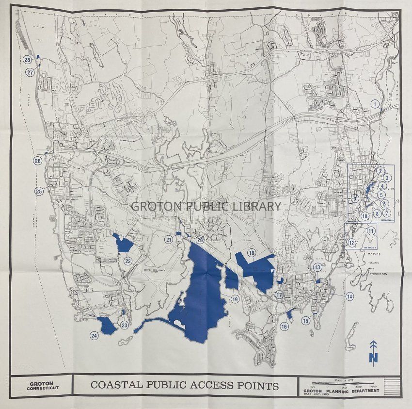
Map, Groton Coastal Public Access Points, 1991

Map, Groton Coastal Public Access Points, 1991

Name/Title

Map, "Groton Coastal Public Access Points," 1991

Entry/Object ID

2026.011.115

Scope and Content

Map, "Groton Coastal Public Access Points," by the Groton Planning Department, April 1991. Map of Groton identifying 28 coastal access points along the shoreline of the Town.

Collection

Map Collection

Acquisition

Accession

2026.011

Source or Donor

Found in Collection

Acquisition Method

Found in Collection

Lexicon

Nomenclature 4.0

Nomenclature Secondary Object Term

Map

Nomenclature Primary Object Term

Cartograph

Nomenclature Sub-Class

Graphic Documents

Nomenclature Class

Documentary Objects

Nomenclature Category

Category 08: Communication Objects

Search Terms

Steamboat Wharf, Gravel Street, River Road, Mystic Art Association, Randall's Wharf, Fort Rachel, Mystic Shipyard, Cove Lane, Esker Point Beach, Spicer Memorial Park, Noank Town Dock, Haley Farm, Bluff Point, Bluff Point Coastal Reserve, Poquonnock River, Burrows Field, Birch Plain Creek, Bayberry Lane, Avery Point, Fort Street, Nautilus Park, USS Nautilus Museum
Archive Details

Date(s) of Creation

1991

Archive Notes

Date(s): 1991