Name/Title
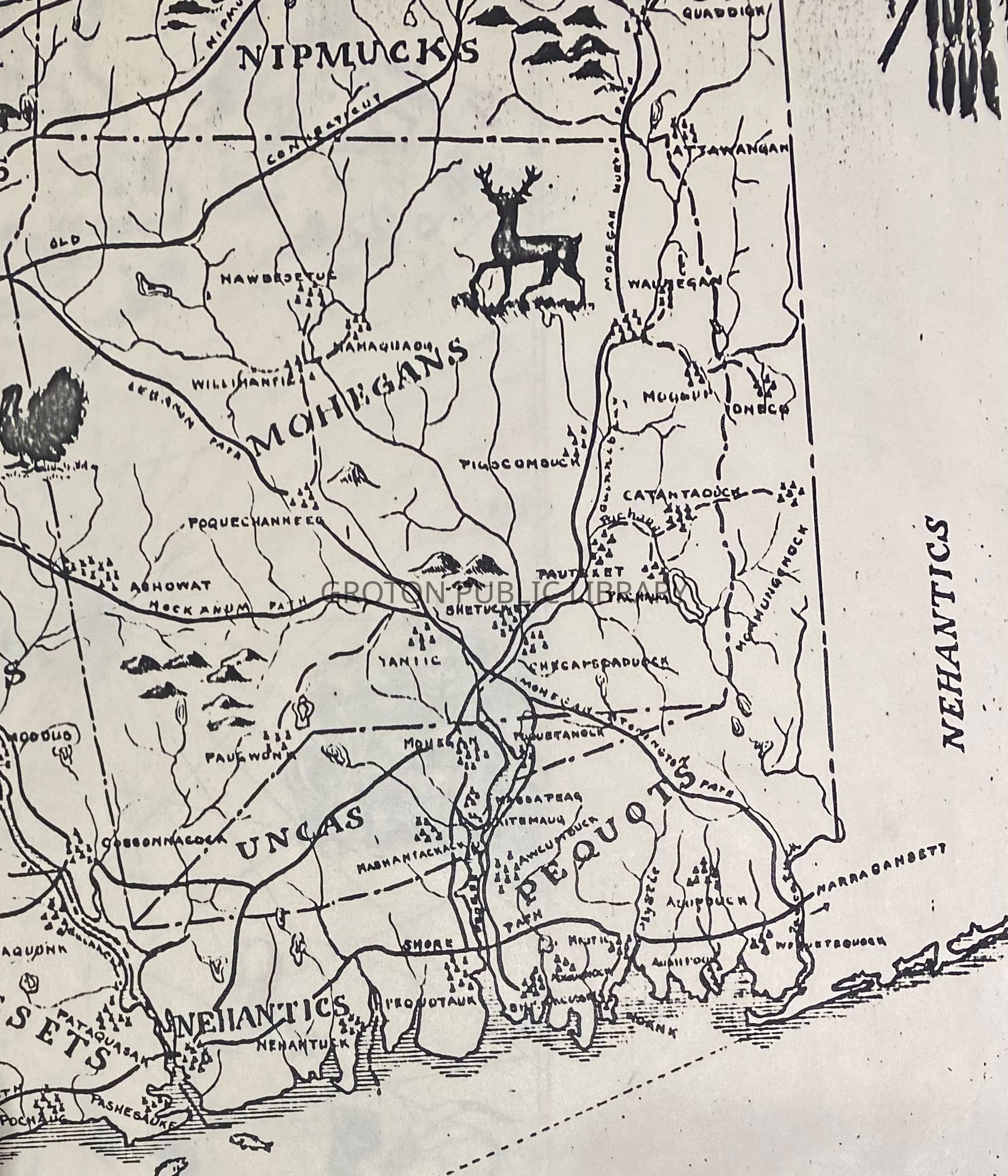
Map of Connecticut, 1624Entry/Object ID
2026.011.029Scope and Content
Reproduction copy, "Map of Connecticut c. 1624, Indian Trails, Villages, Sachemdoms," compiled by Mathias Speiss, drawn by Hayden L. Griswold, published by the Connecticut Society of the Colonial Dames of America. Depicts territories of the Pequot and Mohegan tribes and marks the location of tribal villages within the current Town of Groton.Collection
Map CollectionAcquisition
Accession
2026.011Source or Donor
Found in CollectionAcquisition Method
Found in CollectionLexicon
Nomenclature 4.0
Nomenclature Secondary Object Term
MapNomenclature Primary Object Term
CartographNomenclature Sub-Class
Graphic DocumentsNomenclature Class
Documentary ObjectsNomenclature Category
Category 08: Communication ObjectsSearch Terms
Pequot Tribe, Mohegan Tribe