Name/Title
Map of Eastern Point, 1924Entry/Object ID
2026.011.003Scope and Content
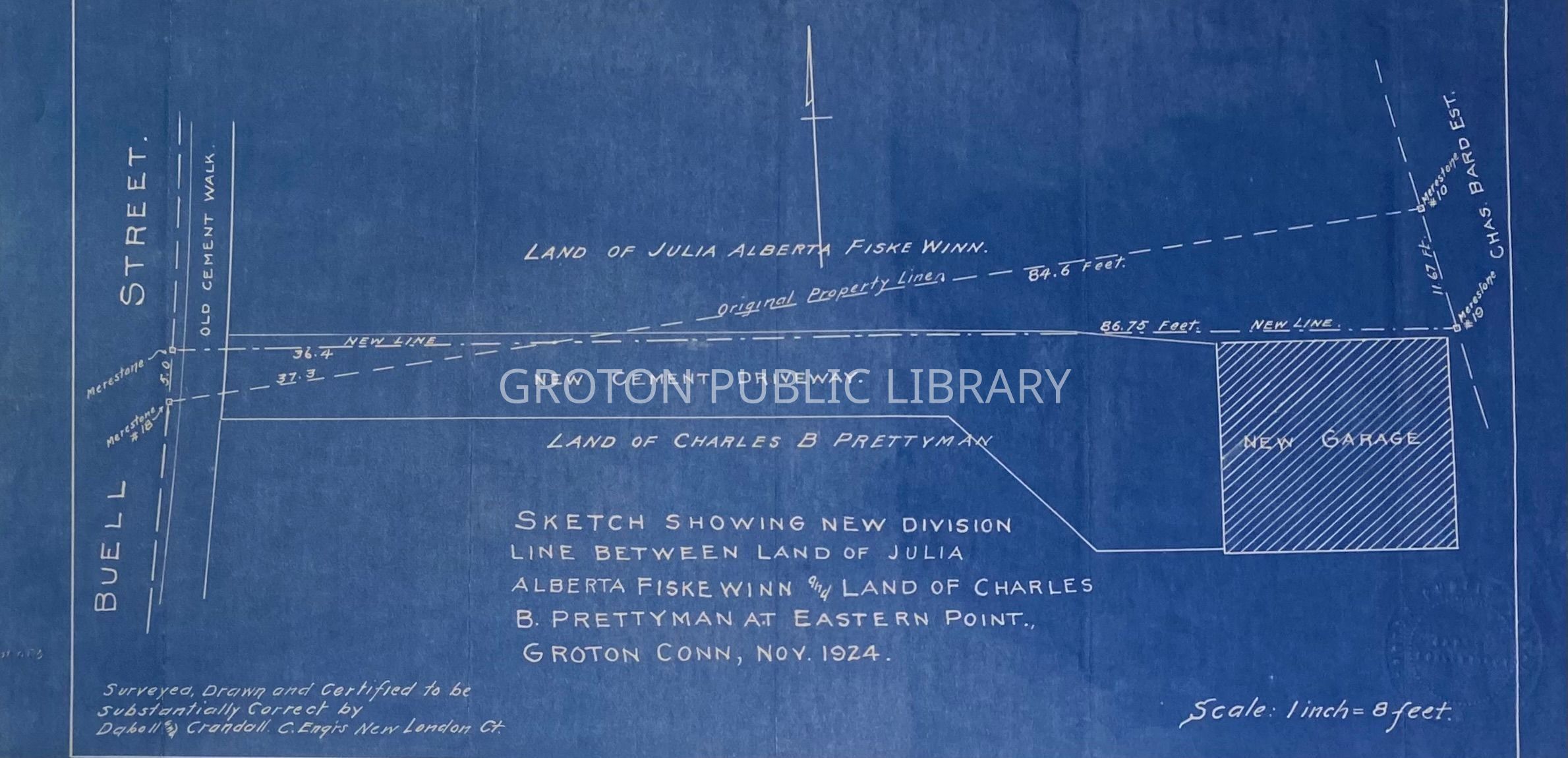
Map, "Sketch Showing New Division Line Between Land of Julia Alberta Fiske Winn and Land of Charles B. Prettyman at Eastern Point, Groton, Nov. 1924," surveyed, drawn and certified correct by Daboll and Crandall. Shows land off Buell Street (now Hillside Avenue) City of Groton.Collection
Map CollectionAcquisition
Accession
2026.011Source or Donor
Found in CollectionAcquisition Method
Found in CollectionLexicon
Nomenclature 4.0
Nomenclature Secondary Object Term
MapNomenclature Primary Object Term
CartographNomenclature Sub-Class
Graphic DocumentsNomenclature Class
Documentary ObjectsNomenclature Category
Category 08: Communication ObjectsSearch Terms
Buell Street, Hillside Avenue, Shore Ave.Archive Details
Creator
Daboll & CrandallDate(s) of Creation
1924Archive Notes
Date(s): 1924