Name/Title
Map of Groton, 1868Entry/Object ID
2026.011.005Scope and Content
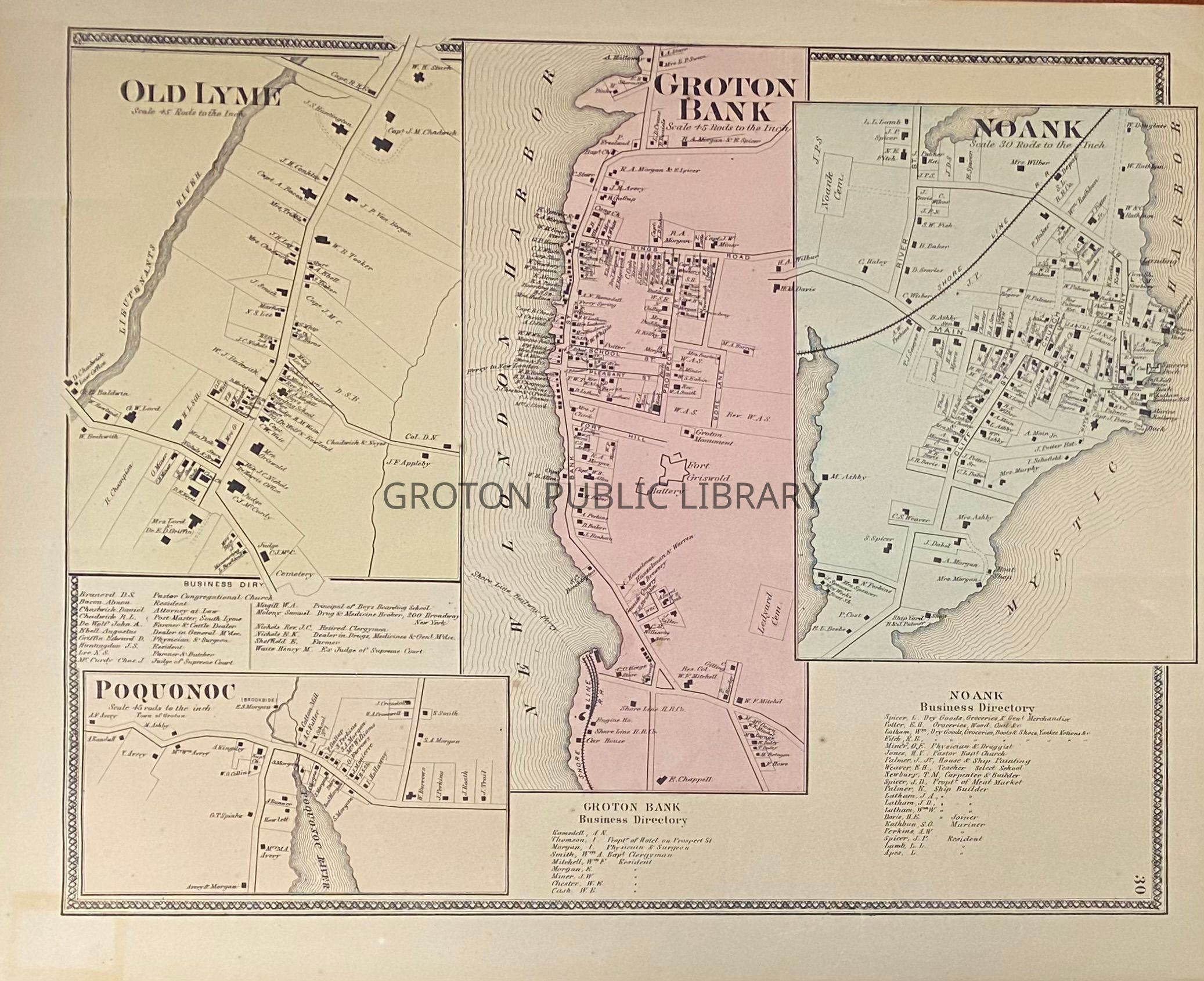
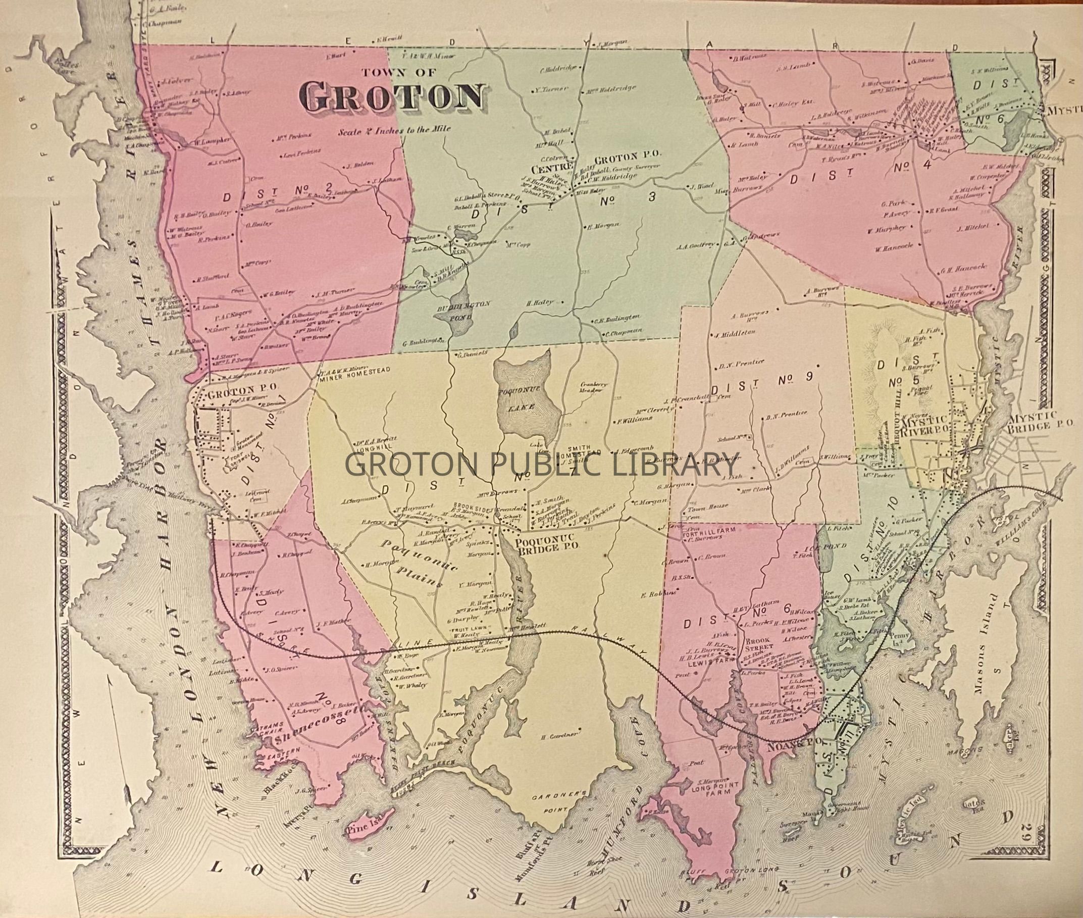
Map, "Old Lyme, Groton Bank, Noank, Poquonoc," with corresponding business directories and map of the "Town of Groton," both from the Beers Atlas, 1868.
Maps include names of property owners and mark locations of cemeteries, post offices and the Town Farm.Collection
Map CollectionAcquisition
Accession
2026.011Source or Donor
Found in CollectionAcquisition Method
Found in CollectionLexicon
Nomenclature 4.0
Nomenclature Secondary Object Term
MapNomenclature Primary Object Term
CartographNomenclature Sub-Class
Graphic DocumentsNomenclature Class
Documentary ObjectsNomenclature Category
Category 08: Communication ObjectsSearch Terms
Groton Bank, City of Groton, Noank, Poquonnoc Bridge, Poquonnock Bridge, Center GrotonArchive Details
Creator
Daboll & CrandallDate(s) of Creation
1868Archive Notes
Date(s): 1868