Nomenclature 4.0
Nomenclature Secondary Object Term
MapNomenclature Primary Object Term
CartographNomenclature Sub-Class
Graphic DocumentsNomenclature Class
Documentary ObjectsNomenclature Category
Category 08: Communication ObjectsSearch Terms
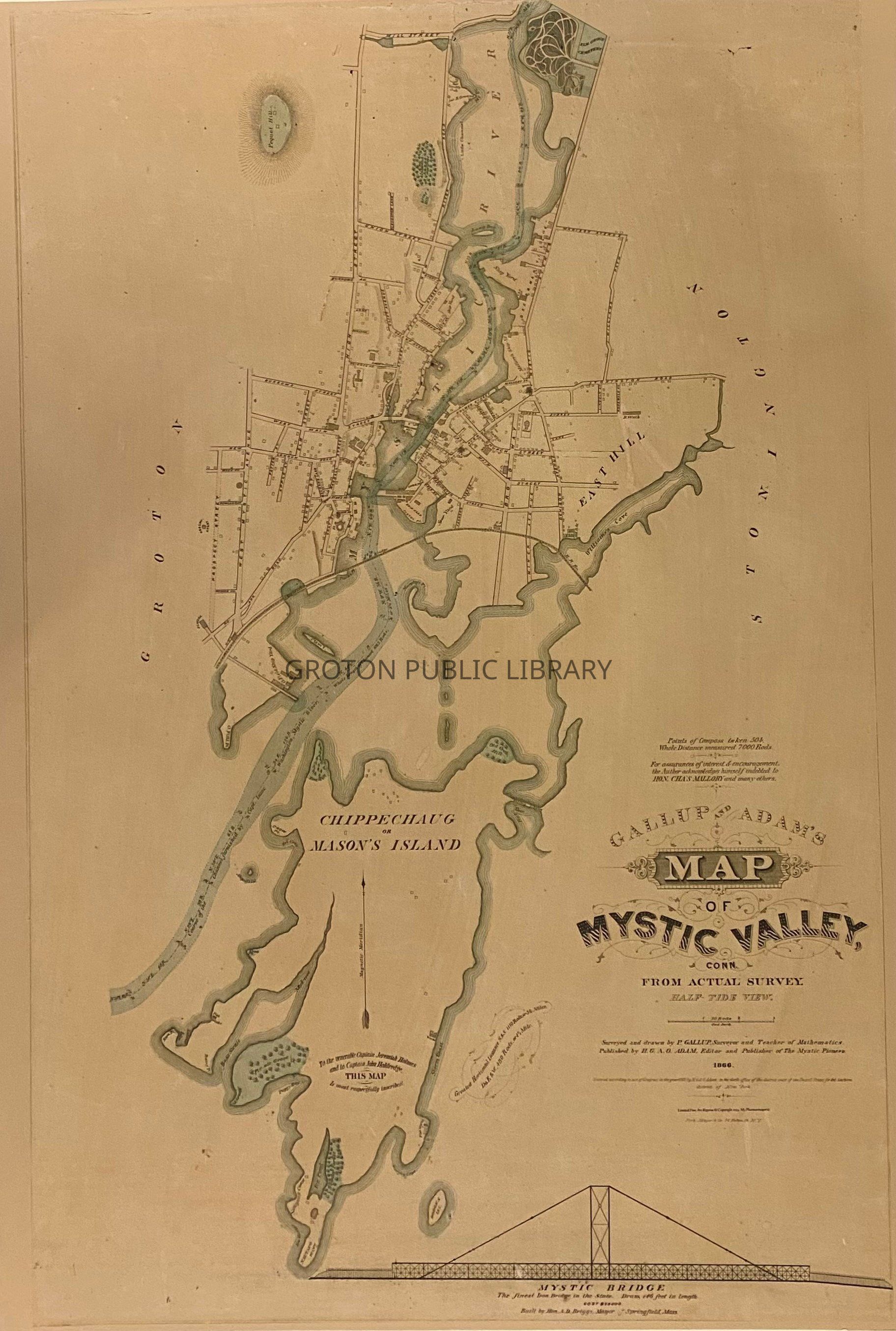
Mystic, Shoreline Railroad, Downtown Mystic, Broadway School, St. Mark's Episcopal Church, Mystic Congregational Church, Elm Grove Cemetery, Cottrell Lumber Co., Mystic Methodist Church, Fort Rachel, Pistol Point, Union Baptist Church, West Mystic School, Old Field, Willow Point, Maxson & Fish Shipyard, Mallory Shipyard, Greenman Brothers Shipyard, Peace Sanctuary, Mystic Academy, Hoxie House, Pequot Hill, Appelman's Point, Mason's Island