HUB
Collections
Classifications
About
App
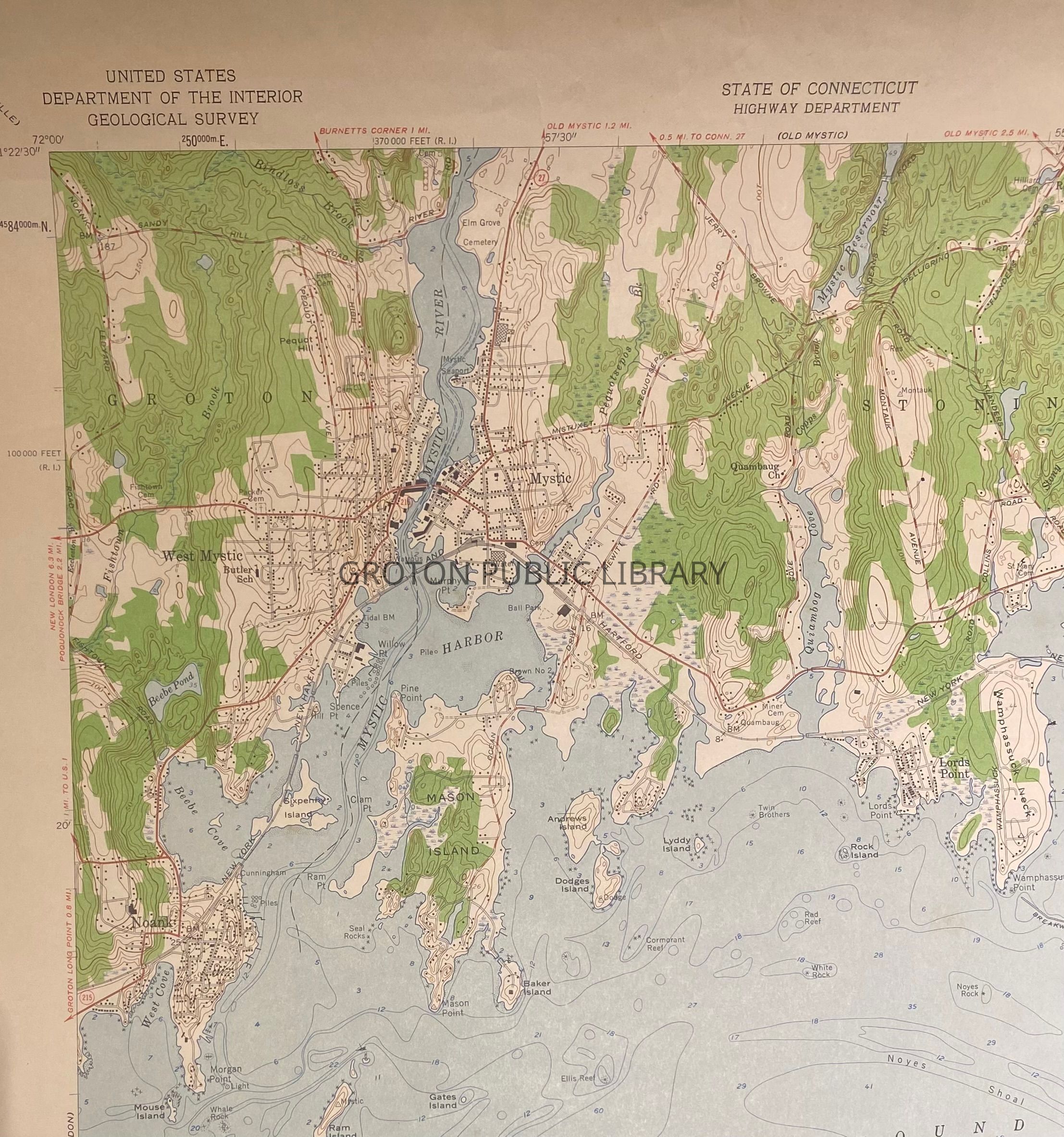
Mystic Geological Survey, 1942-1958
Archive
-
Groton Public Library
Mystic Geological Survey, 1958
Name/Title
Mystic Geological Survey, 1942-1958
Entry/Object ID
2026.023.015
Scope and Content
Map, U.S. Department of the Interior geological survey, "Mystic Quadrangle," produced in 1942 and revised 1958. View of Groton from the Noank-Ledyard Road to the Mystic River.
Collection
Streeter Collection
Acquisition
Accession
2026.023
Source or Donor
Mr. James L. Streeter
Acquisition Method
Donation
Lexicon
Nomenclature 4.0
Nomenclature Secondary Object Term
Map
Nomenclature Primary Object Term
Cartograph
Nomenclature Sub-Class
Graphic Documents
Nomenclature Class
Documentary Objects
Nomenclature Category
Category 08: Communication Objects
Search Terms
Mystic,
Mystic River,
Noank,
Willow Point
Archive Details
Creator
U.S. Department of the Interior
Date(s) of Creation
1942 - 1958
Archive Notes
Date(s) Created: 1942-1958