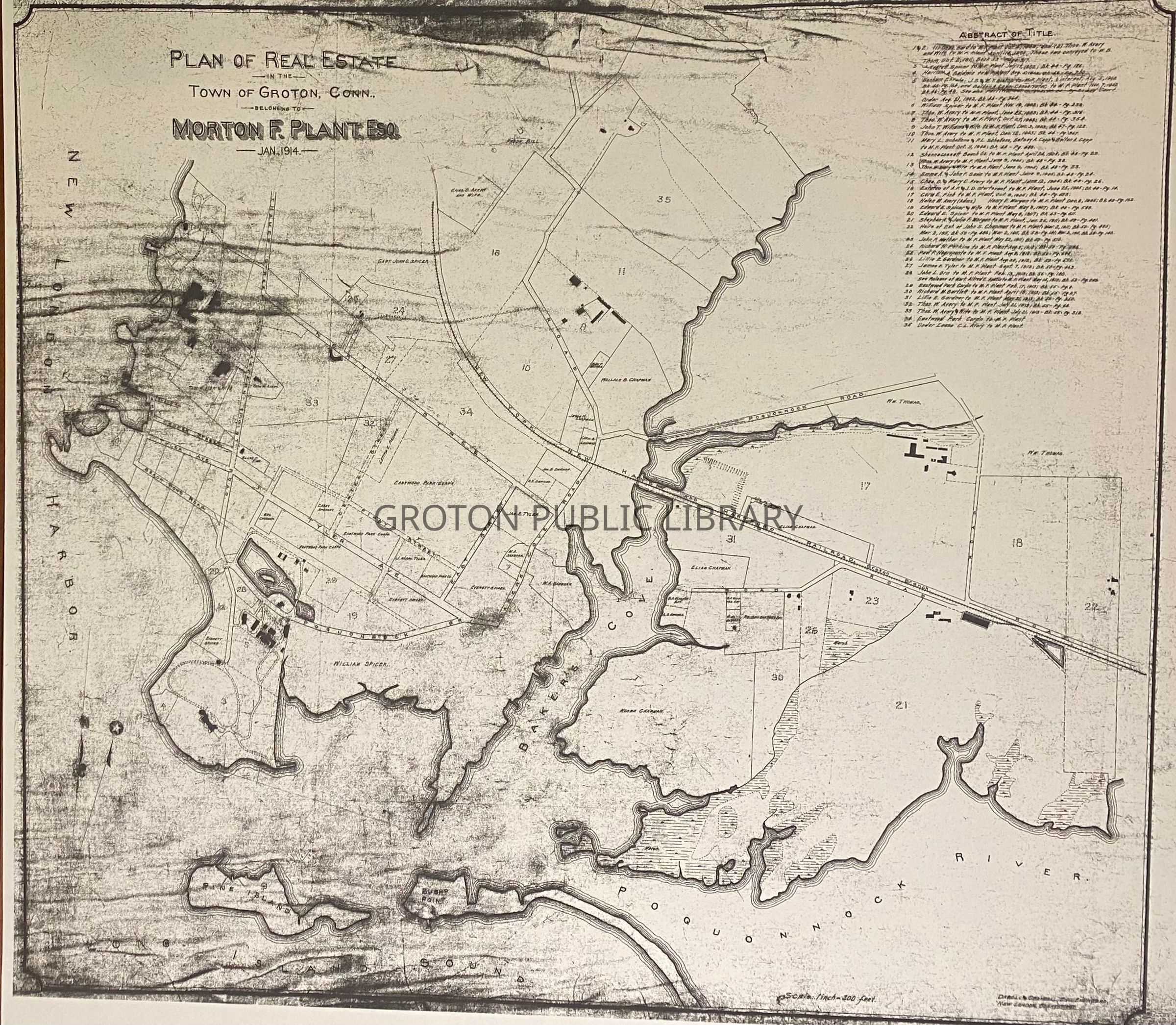
"Plan of Real Estate, in the Town of Groton Belonging to Morton F. Plant," 1914
Entry/Object ID
2026.023.029
Scope and Content
Reproduction Print, "Plan of Real Estate, in the Town of Groton Belonging to Morton F. Plant, Jan. 1914," surveyed by Daboll & Crandall. Includes index of 35 parcels of land purchased by Plant between 1895-1913. Detailed view of Avery Point and Eastern Point as well as the land surrounding both sides of Baker's Cove.
Collection
Streeter Collection
Acquisition
Accession
2026.023
Source or Donor
Mr. James L. Streeter
Acquisition Method
Donation
Lexicon
Nomenclature 4.0
Nomenclature Secondary Object Term
Map
Nomenclature Primary Object Term
Cartograph
Nomenclature Sub-Class
Graphic Documents
Nomenclature Class
Documentary Objects
Nomenclature Category
Category 08: Communication Objects
Search Terms
Eastern Point, Avery Point, Baker's Cove, Poquonnock River, Branford Farms, Branford House, Branford House, Eastern Point, Pine Island, Shenecossett Beach Club, Eastwood Park Co.