Name/Title
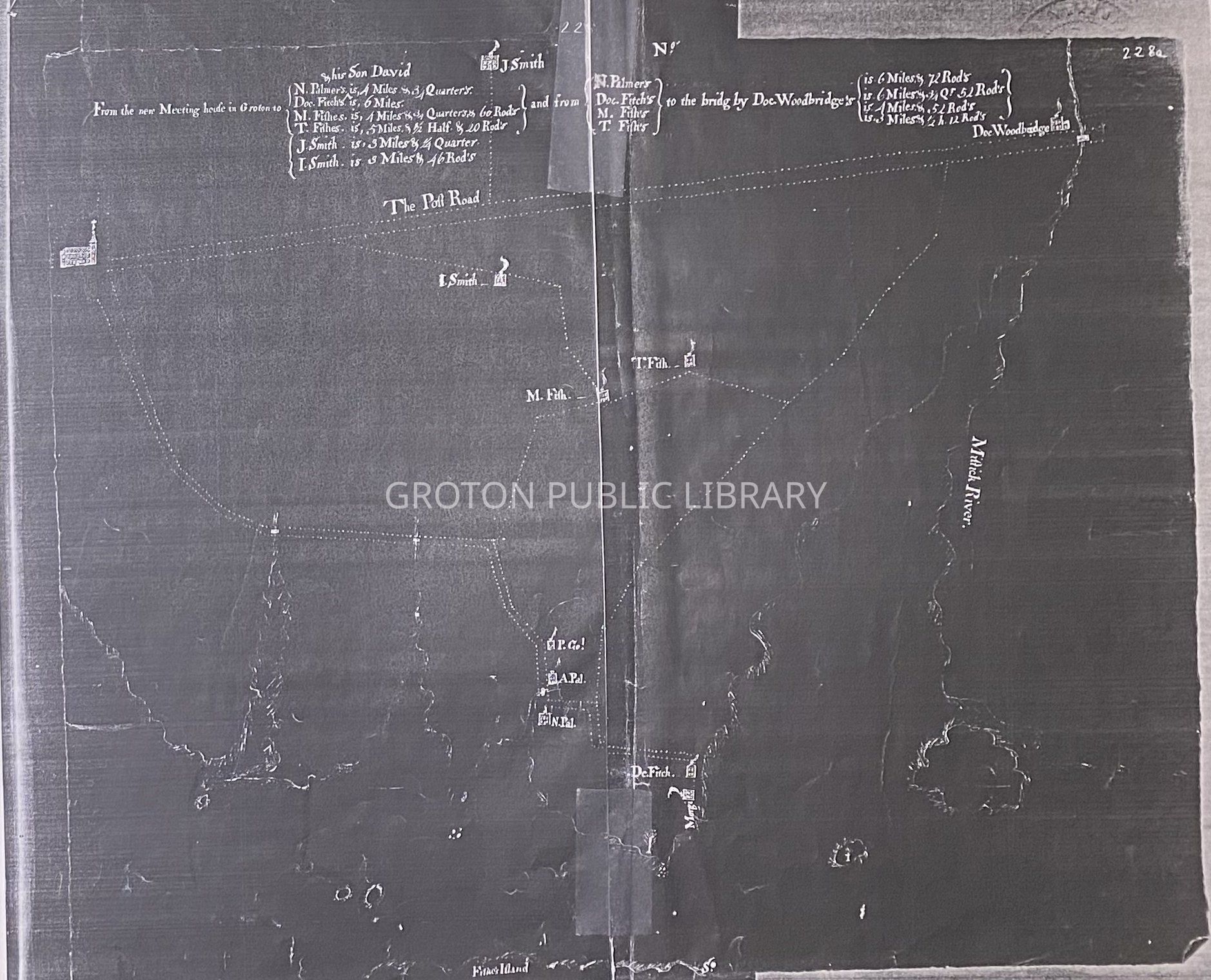
Reproduction, 1767 Map of GrotonEntry/Object ID
2026.011.007Scope and Content
Reproduction of a 1767 map of Groton, Conn. (between the Mystic and Poquonnock Rivers) from the Connecticut State Library. Shows residences of members of the Fish, Smith, Fitch, Palmer, Morgan and Woodbridge families, the Post Road, and the "new Meeting House."
2 copies.Collection
Map CollectionAcquisition
Accession
2026.011Source or Donor
Found in CollectionAcquisition Method
Found in CollectionLexicon
Nomenclature 4.0
Nomenclature Secondary Object Term
MapNomenclature Primary Object Term
CartographNomenclature Sub-Class
Graphic DocumentsNomenclature Class
Documentary ObjectsNomenclature Category
Category 08: Communication ObjectsSearch Terms
Noank, Mason's Island, Mystic River, Fort Hill, Poquonnock River, Poquonnock BridgeArchive Details
Creator
Albert PiersonDate(s) of Creation
1767