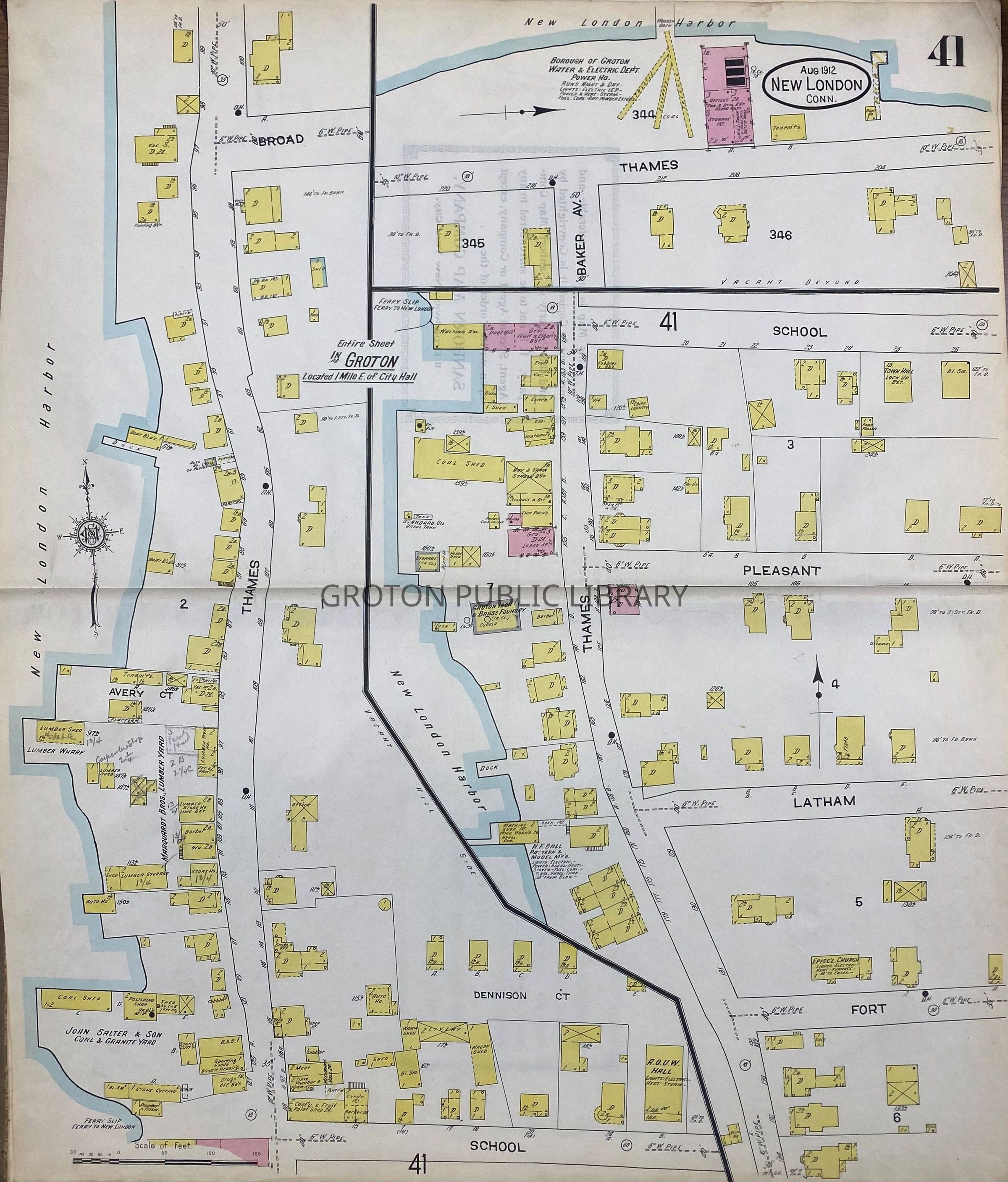
Framed map, full page from the 1912 Sanborn Insurance Map of New London, showing Groton Bank, 24" x 30." Detailed view of the Groton shoreline along Thames Street from Fort Street north to Broad Street.
Collection
Streeter Collection
Acquisition
Accession
2026.023
Source or Donor
Mr. James L. Streeter
Acquisition Method
Donation
Lexicon
Nomenclature 4.0
Nomenclature Secondary Object Term
Map
Nomenclature Primary Object Term
Cartograph
Nomenclature Sub-Class
Graphic Documents
Nomenclature Class
Documentary Objects
Nomenclature Category
Category 08: Communication Objects
Search Terms
City of Groton, Groton Bank, Groton Borough, Thames Street, School St., Pleasant St., Latham St., Broad St., Fort Street, Groton Iron & Brass Foundry, Groton Water Company, John Salter & Sons, Marquardt Bros. Lumber Yard