Survey of Road from Fort Hill to Pistol Point, 1769
Entry/Object ID
2026.014.008
Scope and Content
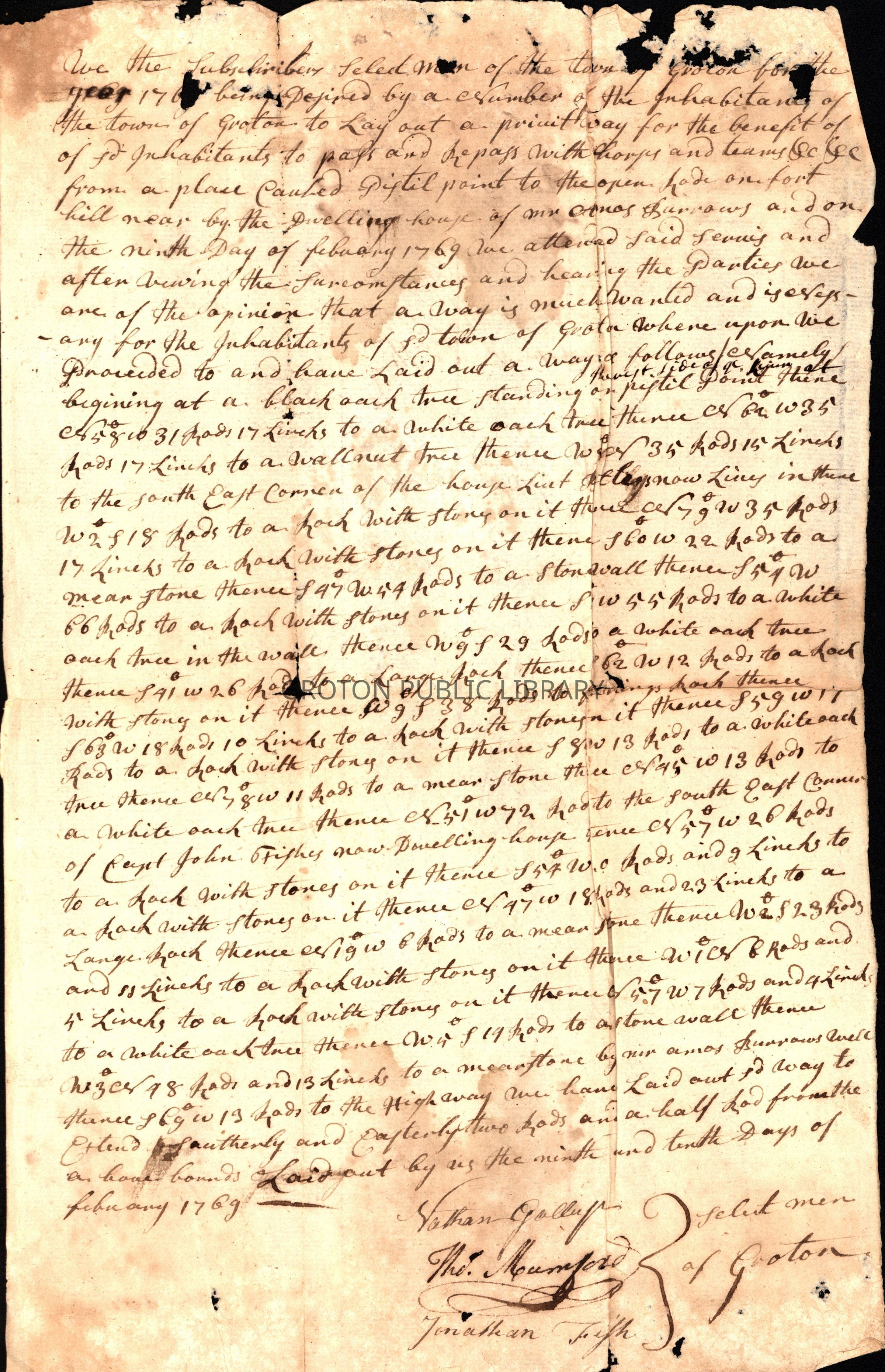
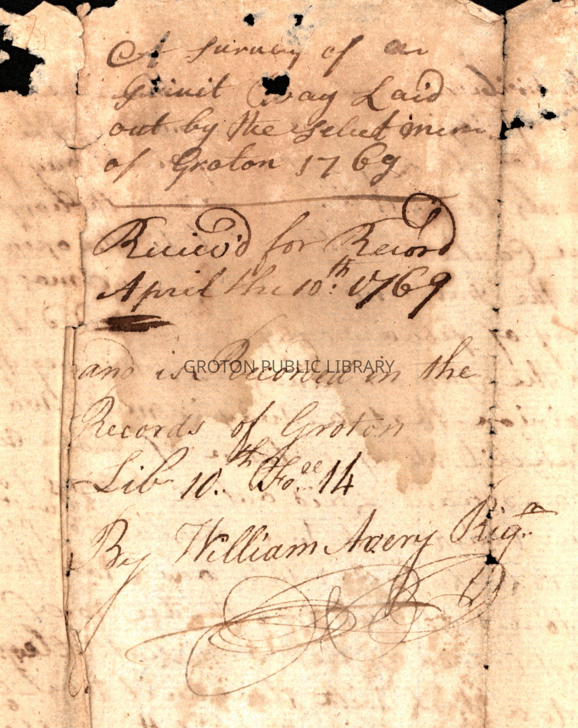
Survey of a private way from Pistol Point to Fort Hill. Received for record April 10, 1769 and recorded in the records of Groton by William Avery, Town Clerk.
"We the Subscribers Selectmen of Groton for the year 1769 being desired by a number of the inhabitants of the Town of Groton to Lay out a private way for the benefit of said inhabitants to pass with horses and teams, etc. from a place called Pistol Point to the open road on Fort Hill near the dwelling house of a Mr. Amos Burrows and on the 9th day of February 1769 we attended said service and after viewing the circumstances and hearing the parties we are of the opinion that a way is much wanted and is necessary for the inhabitants of said Town of Groton whereupon we proceeded to and have laid out a way..."
signed by Groton Selectmen Nathan Gallup, Thomas Mumford and Thomas Fish.