Name/Title
Baywood PointEntry/Object ID
MAR.1Description
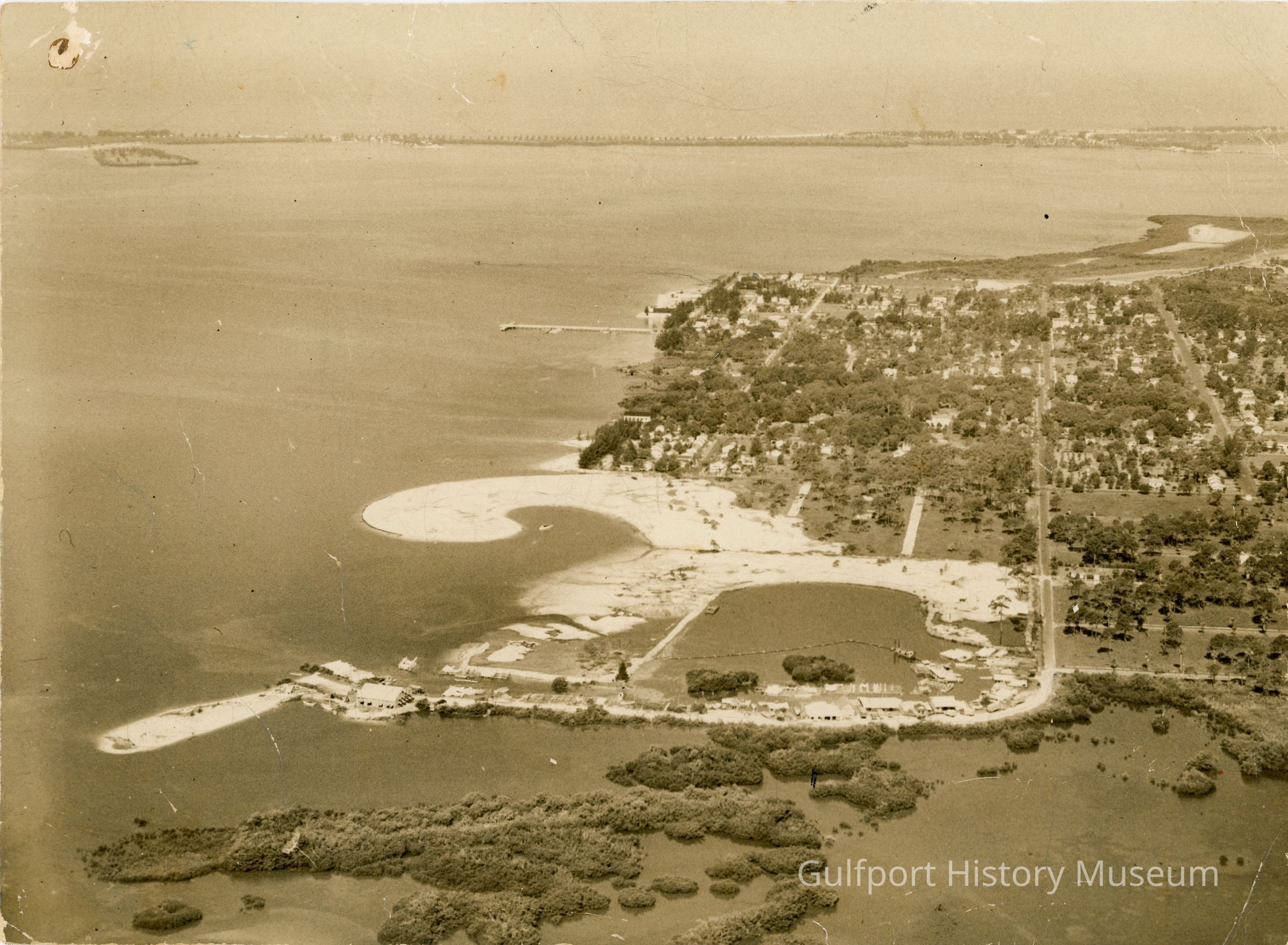
A black and white aerial photograph of an undeveloped Baywood Point and surrounding neighborhoods. Del Rio Way S, Coronado Way S, and 29th Ave S are semi-paved and undeveloped or mostly undeveloped.Photograph Details
Subject
Aerial photography--Florida--Gulfport, Boca Ciega Bay (Fla.), Marinas, DredgingCollection
Photograph CollectionAcquisition
Source (if not Accessioned)
UnknownMade/Created
Date made
circa 1940 - 1945Inscription/Signature/Marks
Location
ReverseTranscription
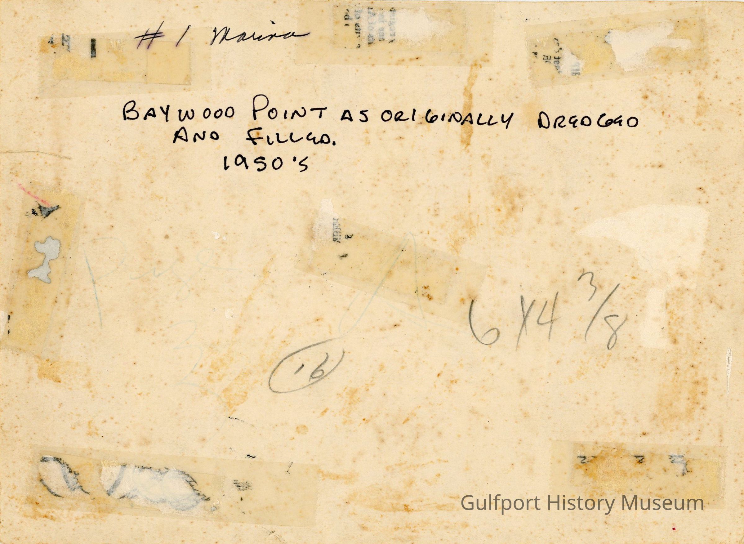
#1 Marina / BAYWOOD POINT AS ORIGINALLY DREDGED AND FILLED. / 1950'sLanguage
EnglishDimensions
Height
6-1/2 inWidth
8-7/8 inInterpretative Labels
Label Type
Cultural/Historical ContextLabel
"The Osgood Point/Marina area before development."