Baywood Point

Front

Front

Name/Title

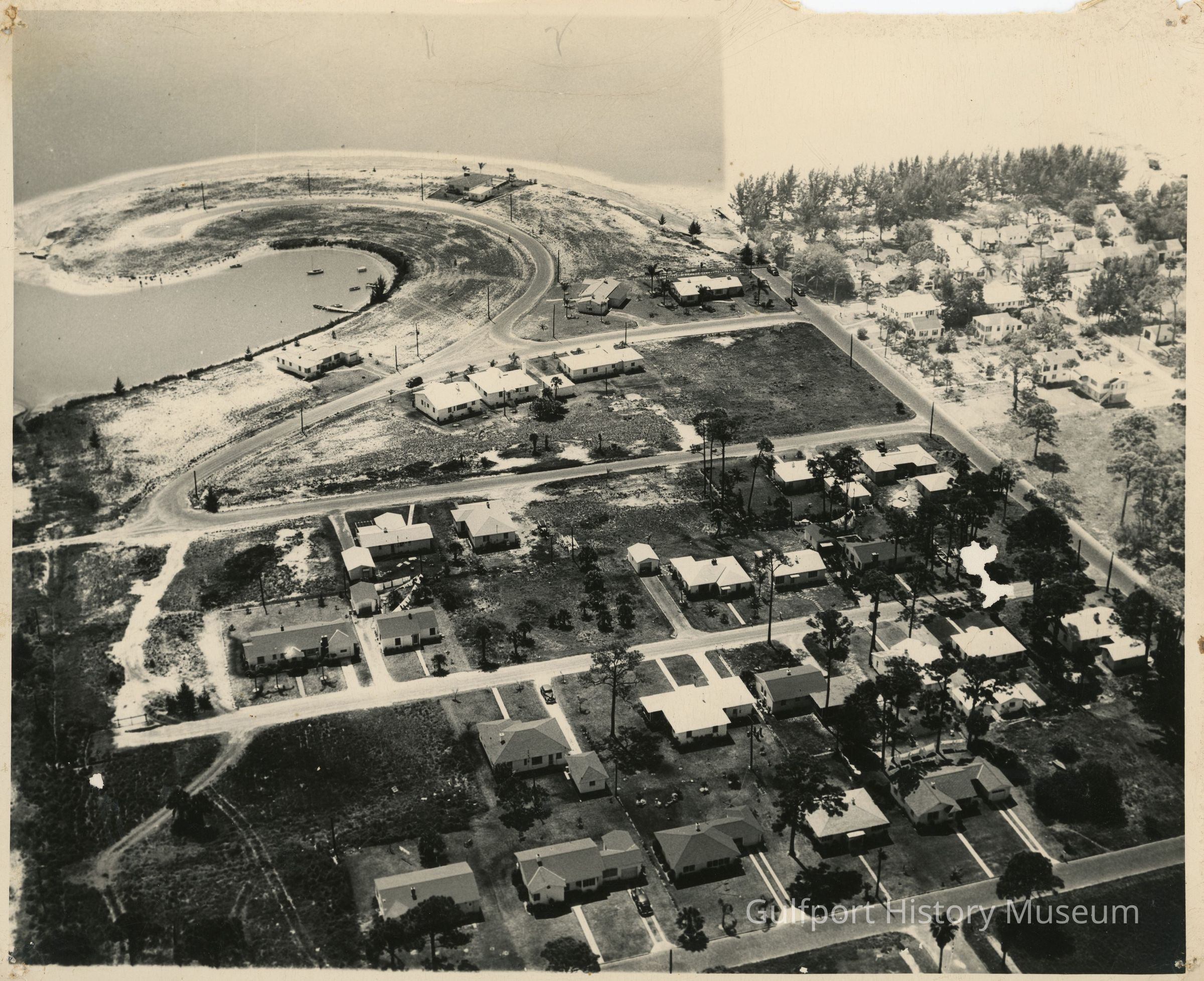
Baywood Point

Entry/Object ID

MAR.2

Description

A black and white aerial photograph of Baywood Point, mostly undeveloped, and the semi-developed surrounding neighborhood: Trade Winds Dr S, Del Rio Way S, Coronado Way S, 29th Ave S.

Photograph Details

Subject

Aerial photography--Florida--Gulfport, Boca Ciega Bay (Fla.), Marinas, Dredging

Subject Place

City

Gulfport, FL

Collection

Photograph Collection

Acquisition

Source (if not Accessioned)

Unknown

Made/Created

Artist

Unknown

Date made

circa 1950

Inscription/Signature/Marks

Location

Reverse

Transcription

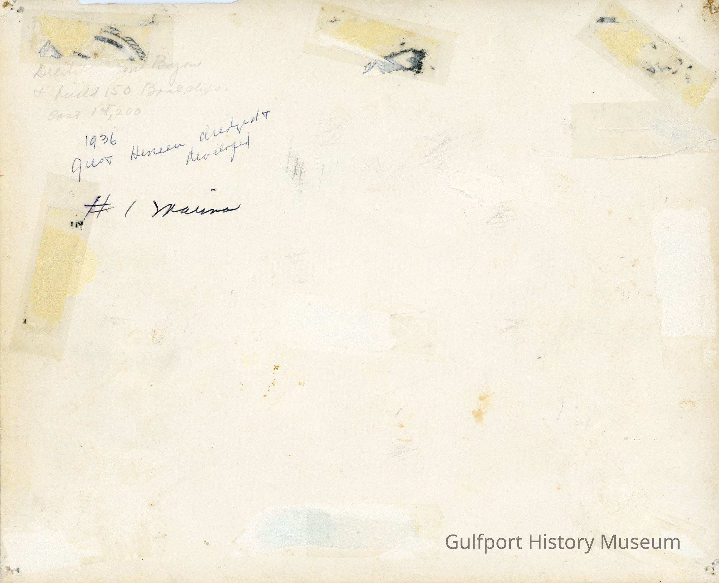
Dredged Clam Bayou + build 150 [?] / cost 14,200 / 1936 [?] dredged + developed / #1 Marina

Language

English

Dimensions

Height

8-1/8 in

Width

10 in

Interpretative Labels

Label Type

Cultural/Historical Context

Label

Returning servicemen like Nathan White and the McMannis brothers re-formed the Gulfport Yacht Club and asked for a renewal of their pre-war permission to build a clubhouse at Clam Bayou. This was denied, because town officials were looking instead at a possible sale of land in the area, for the southeast part of town was coming under considerable development in 1946. Some 150 lots, 65 of them waterfront, were being offered for sale in the neighborhood to be known as "Baywood" (the name was chosen in a contest with a $100 prize, won by a seven-year-old girl). A lot owner there could have a new concrete home for $6,300, which was rather expensive for this time.
Updated By

MC

Update Date

February 11, 2026