Name/Title
MapEntry/Object ID
2013.07.29Description
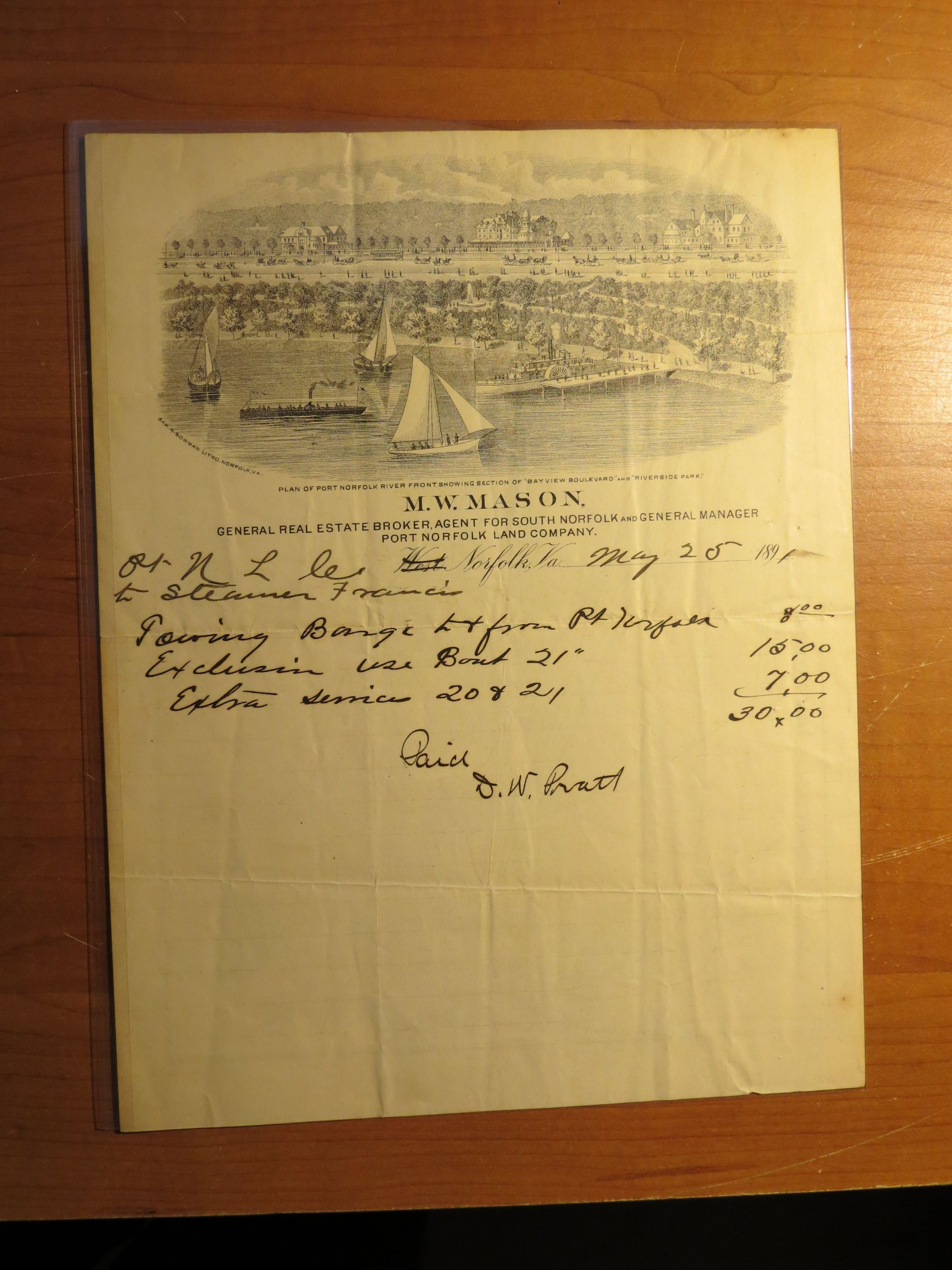
Black and white map of Norfolk and Vicinity. One side of map shows railroads constructed, chartered, and proposed. Back side of map includes lithograph print of a plan of Port Norfolk River Front; includes printed text: M.W. Mason, etc. and handwritten calculations/receipt signed by D.W. Pratt.Condition
Overall Condition
FairDate Examined
May 3, 2014Examined By
MN-BNotes
Yellowed paper, ink has bled through to map.