Name/Title
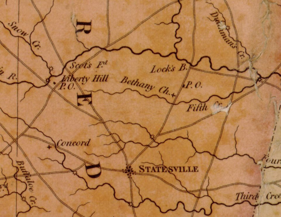
Map Showing "Fifth Creek" regionDescription
Settlement
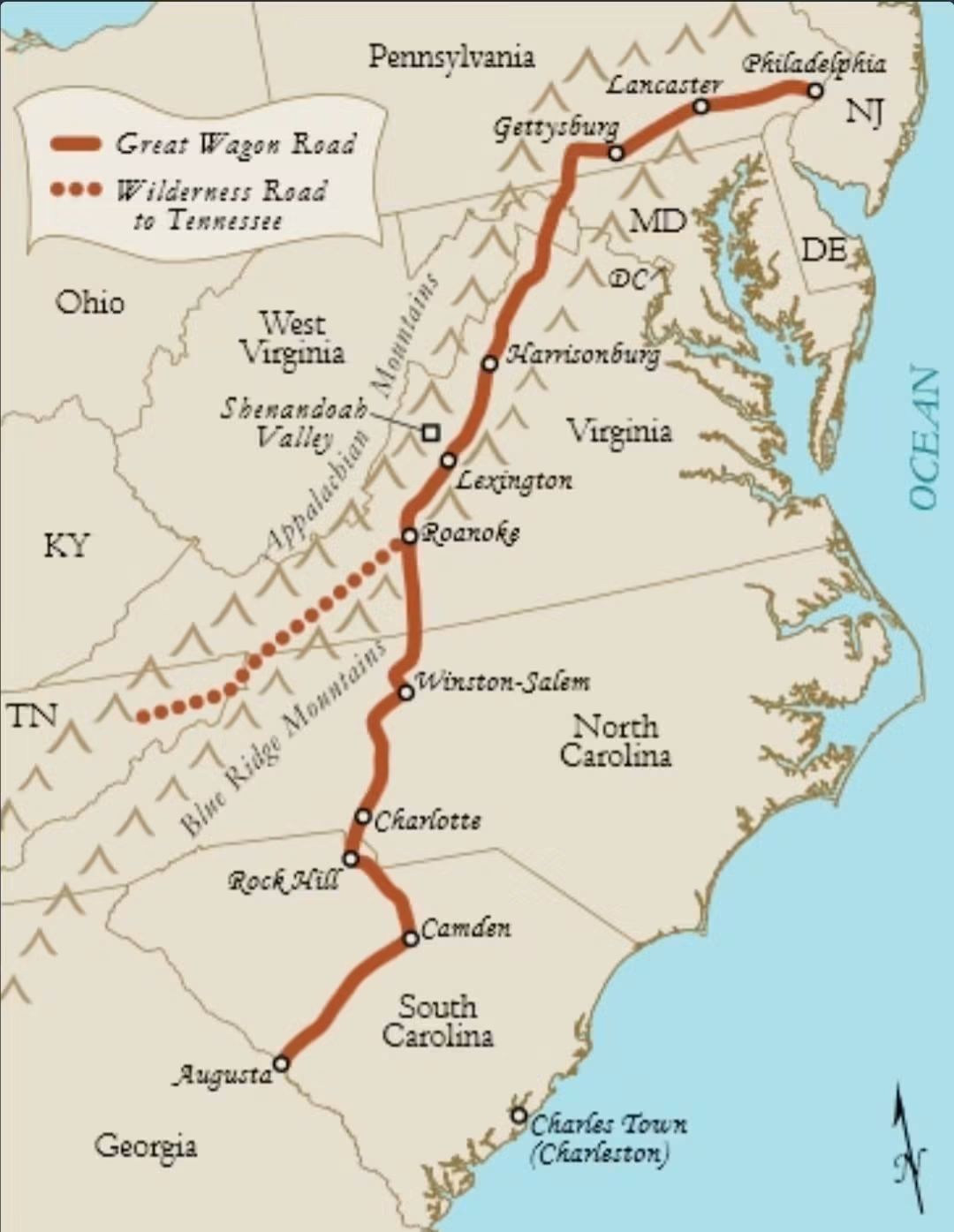
The British colonists who established themselves on the western edge of North Carolina almost all originated in Pennsylvania. Many began moving south in the mid-1730’s, some settling in western Maryland and Virginia’s Shenandoah Valley for several years before following the Great Wagon Road to western NC as early as 1749. The settlers were drawn by inexpensive, fertile land. North Carolina was also far removed from the threat of French-allied Native American attacks until the start of the French and Indian War in 1754.
By 1755, 35 families had established themselves in what was called the Fourth Creek Settlement (present day Statesville.) These families lived along Third, Fourth, and Fifth Creeks. The descendants of many of these early settlers are still in the area today.
Settlers continued to trickle in during the French and Indian War and Anglo-Cherokee War. After the Anglo-Cherokee War was concluded in 1761, settlers began to find their way to the Fourth Creek Settlement in large numbers. By 1765, the Fourth Creek Settlement had 119 landholders living within approximately ten miles of the Fourth Creek Meeting House (established in 1756). In addition to the white settlers, there were at least eleven enslaved people of African descent in the Fourth Creek Settlement by 1765.
While most of the settlers were farmers, some skilled tradesmen can be documented. By 1765, there were three blacksmiths, a bricklayer, two carpenters, a clothier, a cooper, two cordwainers, four millers, nine planters, a reverend, a schoolmaster, a shoemaker, a silversmith, two surveyors, four tailors, and five weavers.Research Notes
Notes
SOURCE - NC Historic Sites