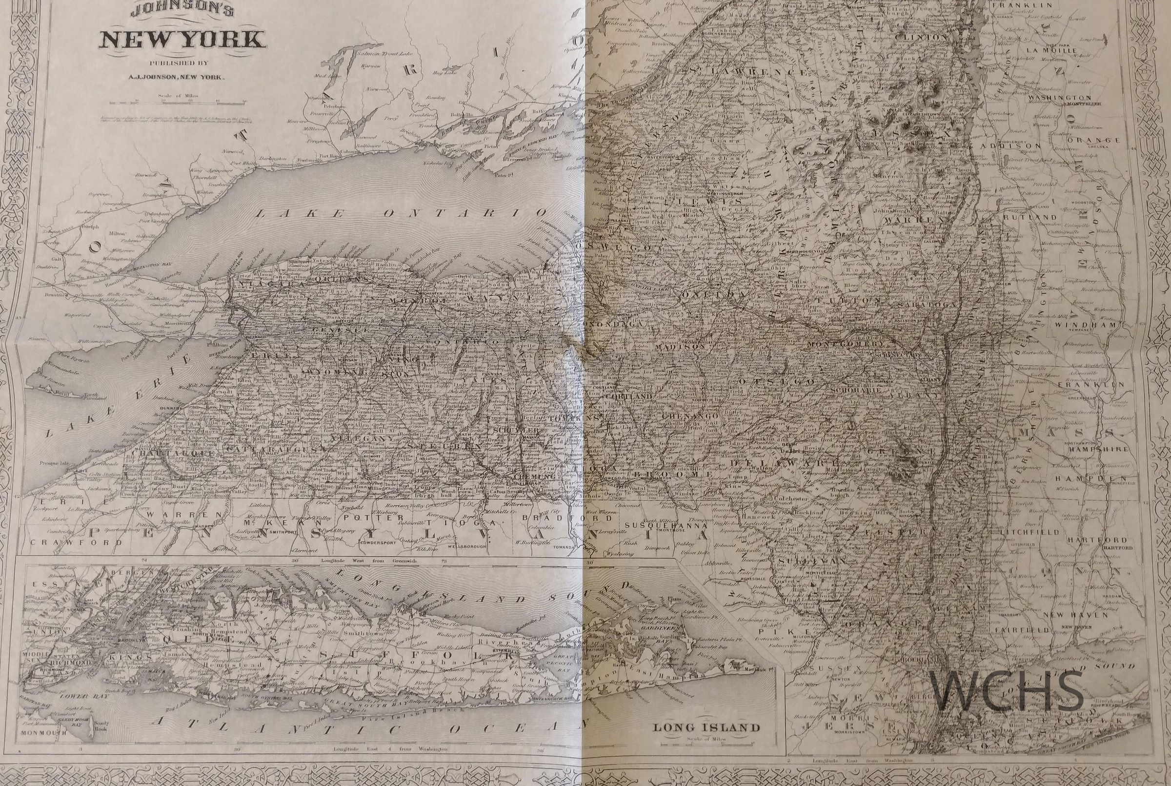
3 maps including: 1. New York State circa 1853 showing states and counties (8.5" x 11")
2. New York State 1866 showing town boundaries which help locating railroads, settlements and transportation routes (18" x 24") and
3. New York State circa 1825 showing early counties, villages and towns which help track Erie Canal migrations (11" x 17").