HUB
Collections
Classifications
About
App
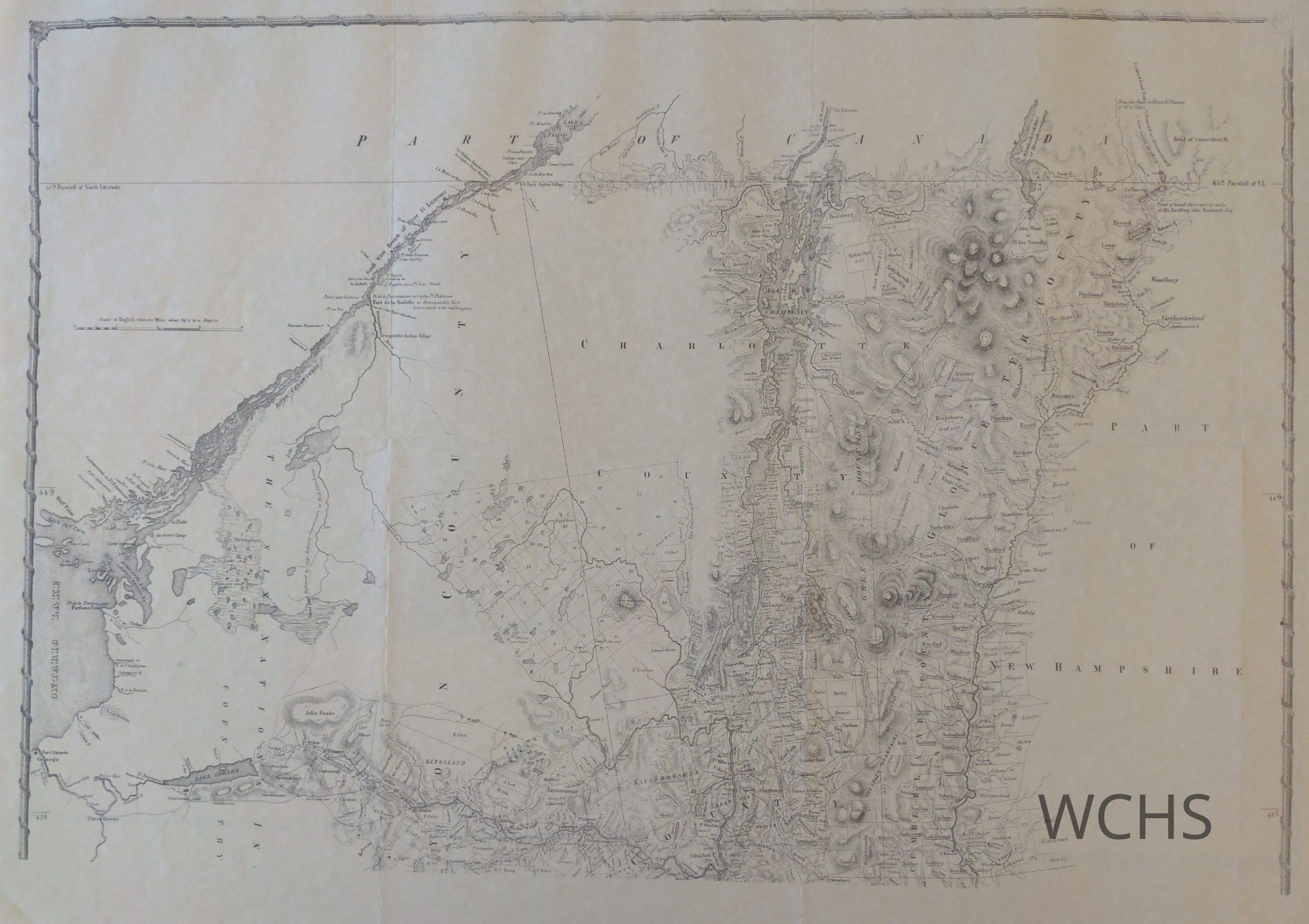
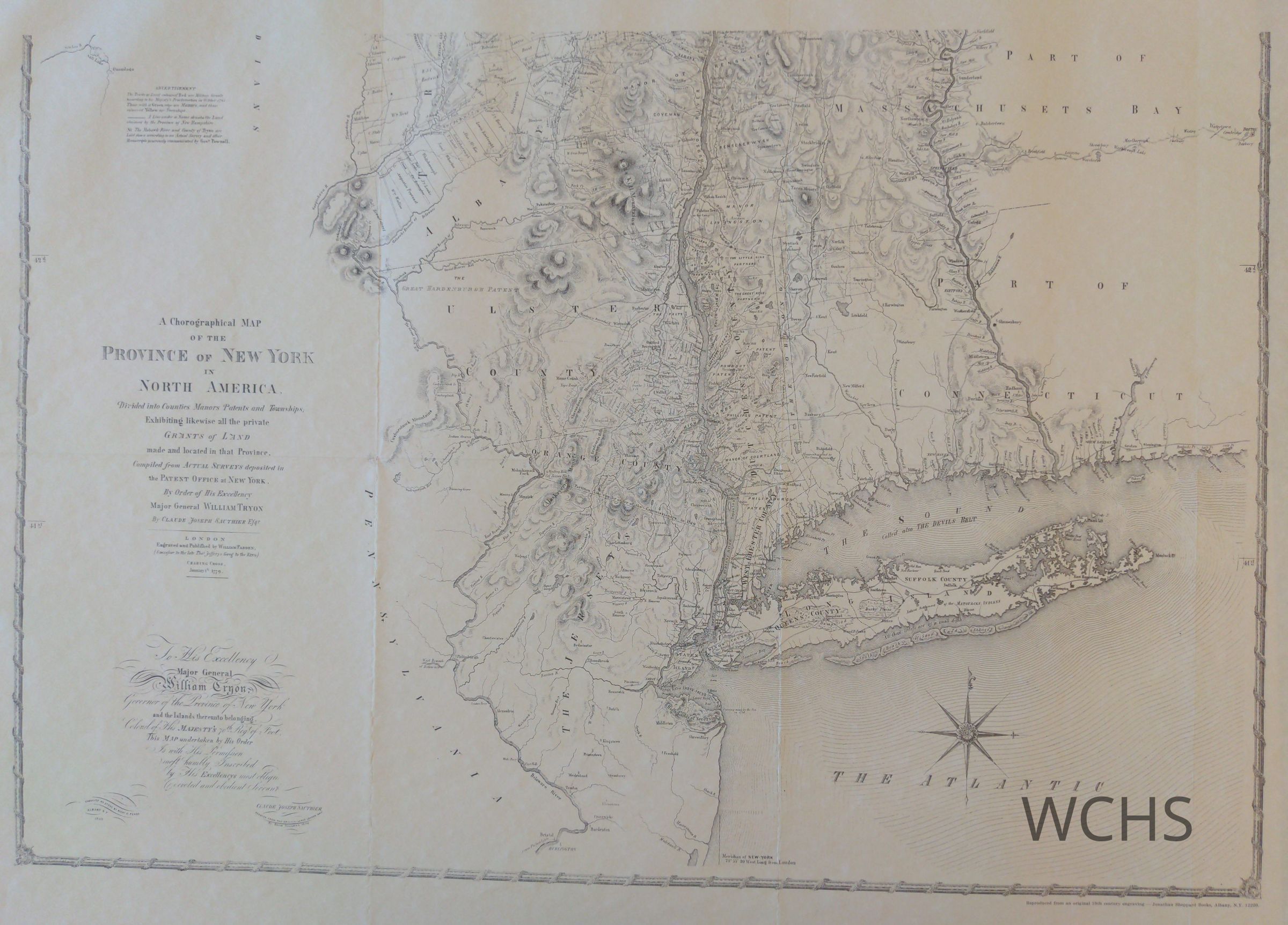
New York - 1779 - Map
Publication
•
Object ID: 1525
•
Heritage Research Library at the Washington County Historical Society
Description
A Chorographical map of the Province of New York in North America. This map depicts part of the British Colonies from northern New Jersey to Canada. 23" X 29" 2 sheets stored in double archival envelope with 2 other maps.