Name/Title
Presenting Your City Map of Charleston, South CarolinaEntry/Object ID
2008.005.6Scope and Content
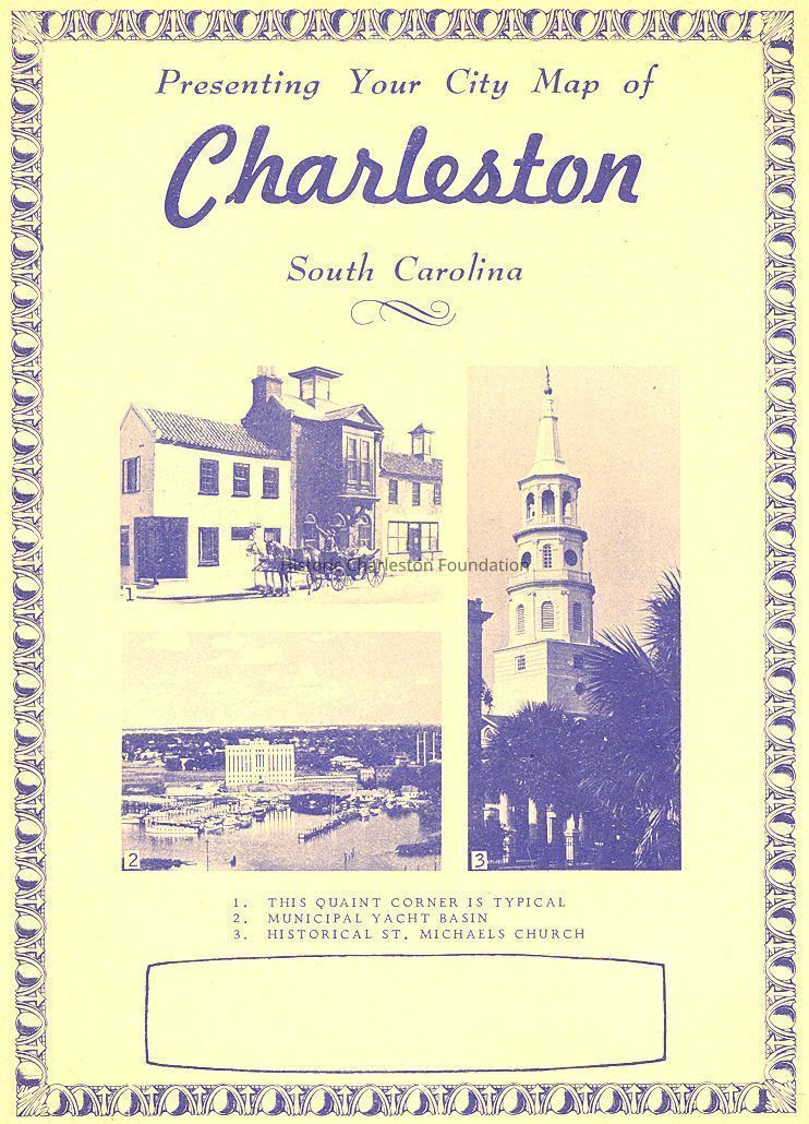
Map of the Charleston County (peninsula and suburbs), with street index. Also includes history of Charleston, general civic information about Charleston (e.g., altitude, area of county, area of city, city and county government, climate, geography, history, and population), and a business directory.Collection
HCF Map CollectionAcquisition
Accession
2008.005.Source or Donor
Mr. Joseph H. McGeeAcquisition Method
GiftCredit Line
Gift of Mr. and Mrs. Joseph H. McGeeLexicon
Nomenclature 4.0
Nomenclature Secondary Object Term
MapNomenclature Primary Object Term
CartographNomenclature Sub-Class
Graphic DocumentsNomenclature Class
Documentary ObjectsNomenclature Category
Category 08: Communication ObjectsSearch Terms
Tourist maps, tourist publications, Charleston (S.C.)--Maps, Charleston (S.C.)--Maps, Tourist, Charleston (S.C.)--Historical geography--Maps, Charleston County (S.C.)--MapsArchive Details
Date(s) of Creation
circa 1958Archive Size/Extent
1 map 35" x 22.5" folded to x ~11.25" x 8.75"Archive Notes
Date(s): ca. 1958
Publication Date: ca. 1958
Publisher: Western States Map Company
Place Published: Portland, ORDimensions
Dimension Notes
35" x 22.5"Location
Location
Container
FolderDrawer
Drawer 4Cabinet
Blueprints-Maps 5Room
Margaretta P. Childs ArchivesBuilding
Missroon HouseCategory
PermanentDate
February 7, 2023Location
Drawer
Map DrawerRoom
Margaretta P. Childs ArchivesBuilding
Missroon HouseCategory
PermanentLocation
Container
Folder 2Drawer
Drawer 4Room
Margaretta P. Childs ArchivesBuilding
Missroon HouseCategory
PermanentCondition
Notes
Starting to tear at folds.Relationships
Related Places
Place
Location
Charleston PeninsulaGeneral Notes
Note
Notes: Date of publication is estimated based on information under "Population."
Cover page has photo "municipal yacht basin."Created By
admin@catalogit.appCreate Date
February 5, 2008Updated By
admin@catalogit.appUpdate Date
February 16, 2023