Name/Title
General Highway Map, Charleston County, South CarolinaEntry/Object ID
2008.001.3Scope and Content
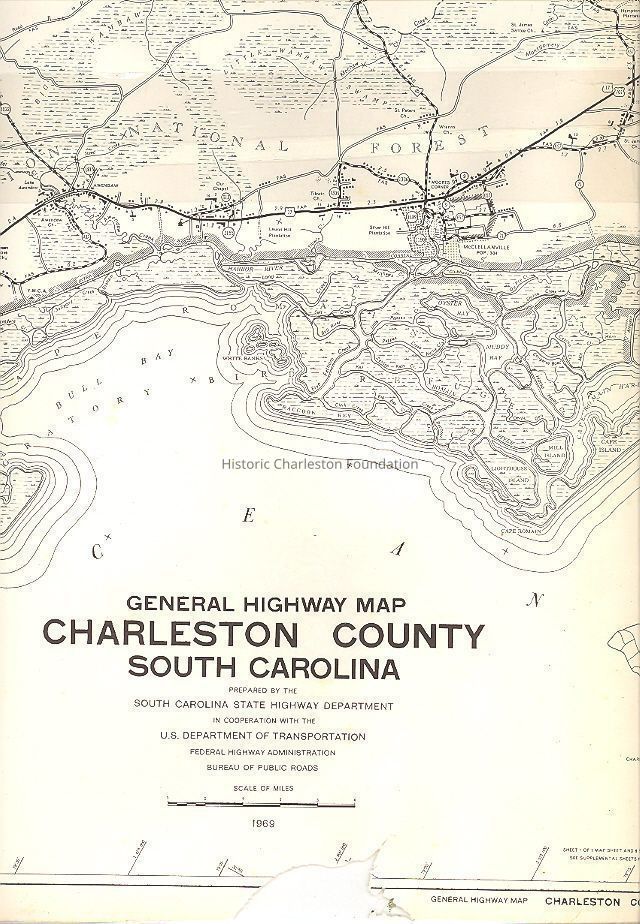
General Highway Map, Charleston County, South Carolina. Prepared by the South Carolina State Highway Department in cooperation with the U.S. Department of Transportation, Federal Highway Administration, Bureau of Public Roads. Polyconic projection compiled from controlled aerial photographs and rural road inventory. Plane coordinates South Carolina. South zone in thousands of feet.
Cities and Towns, Cultural Features, Drainage, Boundaries, Road Systems, Road Types, Structures, Railroads, Airways, Misc Symbols, Misc Structures, and Recreational indicated by symbols; see legend.
County Population 1970 Census -247,650
County Area in Square Miles- 945
Map showing location of Charleston County boundaries in South Carolina.Collection
HCF Map CollectionAcquisition
Accession
2008.001.Source or Donor
New Archives Catalog Records (2008)Acquisition Method
Collected by StaffLexicon
Nomenclature 4.0
Nomenclature Secondary Object Term
MapNomenclature Primary Object Term
CartographNomenclature Sub-Class
Graphic DocumentsNomenclature Class
Documentary ObjectsNomenclature Category
Category 08: Communication ObjectsSearch Terms
Park maps/highway maps, Charleston County (S.C.)--MapsArchive Details
Date(s) of Creation
1969Archive Size/Extent
1 map, 44" x 18"Archive Notes
Date(s): 1969Location
Location
Container
FolderDrawer
Drawer 4Cabinet
Blueprints-Maps 5Room
Margaretta P. Childs ArchivesBuilding
Missroon HouseCategory
PermanentDate
February 7, 2023Condition
Overall Condition
PoorNotes
Missing upper right corner and lower left corner. Tears along edges. Does not affect usability.Relationships
Related Places
Place
Location
Charleston CountyCreated By
admin@catalogit.appCreate Date
August 28, 2008Updated By
admin@catalogit.appUpdate Date
February 17, 2023