Name/Title
Charleston Principal Street and ApproachesEntry/Object ID
2008.001.25Scope and Content
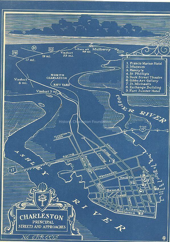
Peninsula map showing Charleston's principal streets and approaches, including a few points of interest.
Map is undated; however, location of the Charleston Museum is shown at Rutledge and Calhoun which occupied the site from 1907-1980.Collection
HCF Map CollectionAcquisition
Accession
2008.001.Source or Donor
New Archives Catalog Records (2008)Acquisition Method
Collected by StaffLexicon
Nomenclature 4.0
Nomenclature Secondary Object Term
MapNomenclature Primary Object Term
CartographNomenclature Sub-Class
Graphic DocumentsNomenclature Class
Documentary ObjectsNomenclature Category
Category 08: Communication ObjectsSearch Terms
Peninsula maps, Charleston (S.C.)--MapsArchive Details
Archive Size/Extent
8.75"x11.75"Dimensions
Dimension Notes
8.75" x 11.75"Location
Location
Container
FolderDrawer
Drawer 4Cabinet
Blueprints-Maps 5Room
Margaretta P. Childs ArchivesBuilding
Missroon HouseCategory
PermanentDate
February 7, 2023Relationships
Related Places
Place
City
CharlestonState/Province
South CarolinaCountry
United States of AmericaCreated By
admin@catalogit.appCreate Date
September 11, 2008Updated By
admin@catalogit.appUpdate Date
February 17, 2023