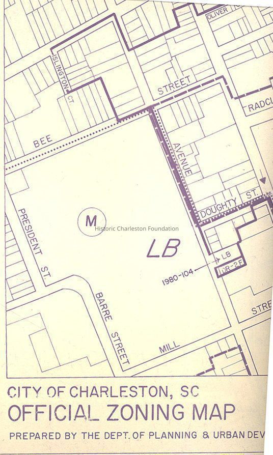
Name/Title
Official Zoning Map, Grids 19 & 20 [Charleston, S.C.]Entry/Object ID
2008.001.37Scope and Content
Two official zoning maps prepared by the Dept. of Planning and Urban Development.
Includes heights ordinance boundary and amendments to height ordinance and districts signed by the Clerk of Council and Zoning Administrator.
1. Grid 19-(Rutledge Ave. through East Bay St and Calhoun St through Lee St)
2. Grid 20-(Boundaries include Hasell St, Concord St and East Bay St)Collection
HCF Map CollectionAcquisition
Accession
2008.001.Source or Donor
New Archives Catalog Records (2008)Acquisition Method
Collected by StaffLexicon
Nomenclature 4.0
Nomenclature Secondary Object Term
MapNomenclature Primary Object Term
CartographNomenclature Sub-Class
Graphic DocumentsNomenclature Class
Documentary ObjectsNomenclature Category
Category 08: Communication ObjectsSearch Terms
Zoning maps, Zoning--South Carolina--Charleston--MapsArchive Details
Date(s) of Creation
Jun 13, 1978Archive Size/Extent
2 maps, 34.5" x 36"Archive Notes
Date(s): 1978
Scale: 1"= 200'Dimensions
Dimension Notes
34.5" x 36"Location
Location
Container
Folder 3Drawer
Drawer 5Cabinet
Blueprints-Maps 5Room
Margaretta P. Childs ArchivesBuilding
Missroon HouseCategory
PermanentDate
February 7, 2023Relationships
Related Places
Place
City
CharlestonState/Province
South CarolinaCountry
United States of AmericaCreated By
admin@catalogit.appCreate Date
September 17, 2008Updated By
admin@catalogit.appUpdate Date
February 16, 2023