Name/Title
Map "Treaty of Paris"Entry/Object ID
94.1.2Description
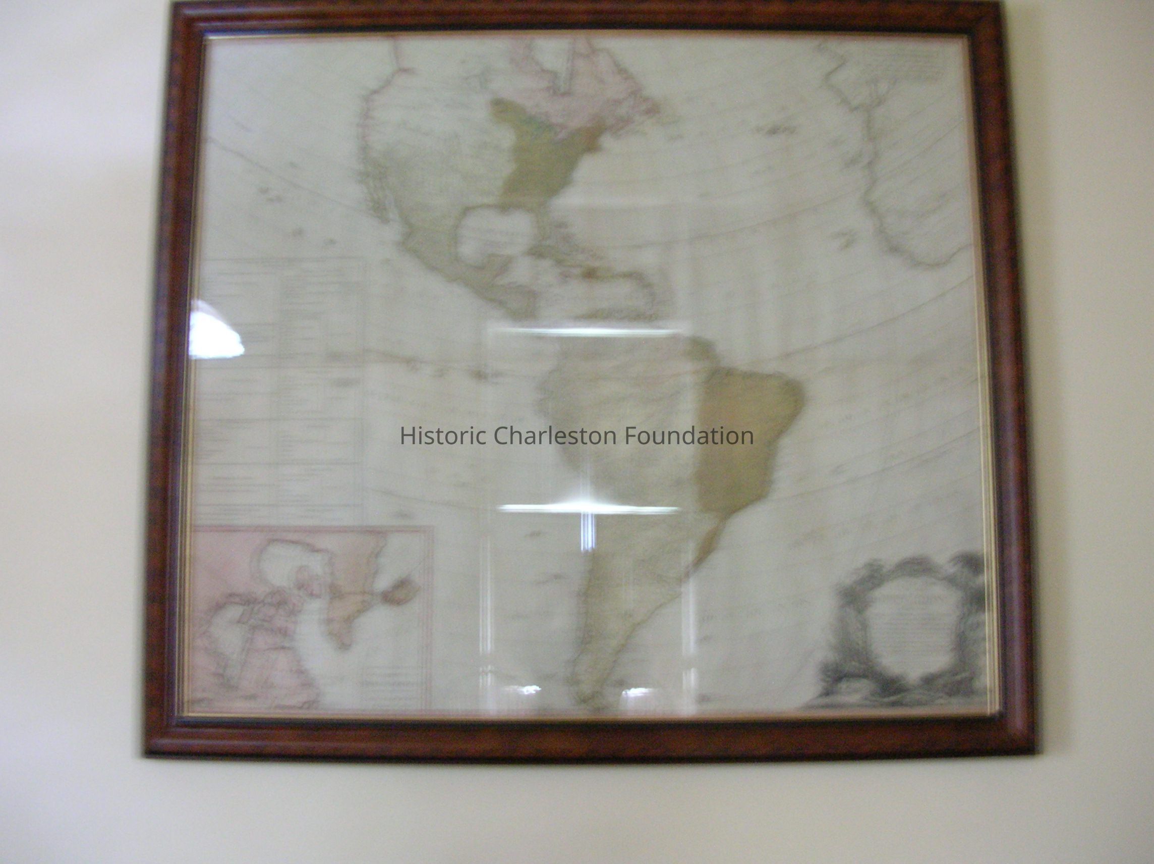
Map "Treaty of Paris"
Map of the Continent After the Treaty of Paris, By Robert Sayer of London, 1786, Laid Paper in Four Parts. Chinoisserie Cartouche Contains the Following "a New Map of the Whole Continent of America, Divided Into North and South and West Indies. Wherein Are Exactly Described the United States of America As Well As the Several European Possessions...." (the Treaty of Paris Ended the American Revolution.)Collection
Historic Charleston Foundation CollectionLexicon
Nomenclature 4.0
Nomenclature Secondary Object Term
MapNomenclature Primary Object Term
CartographNomenclature Sub-Class
Graphic DocumentsNomenclature Class
Documentary ObjectsNomenclature Category
Category 08: Communication ObjectsDimensions
Height
41 inLength
47 inDimension Notes
framed:L: 52" xH:46 " X D:1.375"Location
Location
Room
101ABuilding
Nathaniel Russell HouseCategory
PermanentMoved By
SJDate
July 22, 2004Location
Room
101ABuilding
Nathaniel Russell HouseMoved By
June HawkinsDate
June 24, 2002Notes
Until: / /Location
Room
101ABuilding
Nathaniel Russell HouseCategory
PermanentGeneral Notes
Note
Status: OK
Location Details1: 1Created By
admin@catalogit.appCreate Date
July 24, 1998Updated By
sferguson@historiccharleston.orgUpdate Date
May 1, 2023