Name/Title
Water Street (General)Entry/Object ID
WATER.GEN.1Scope and Content
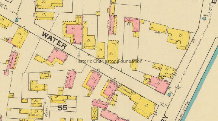
Water Street follows the course of Vanderhorst Creek, which was located along the southern boundary of the walled city. It was also the waterway down which William, Lord Campbell, the last Royal Governor of South Carolina, slipped in his flight from the rebel city. The creek was gradually filled in through the 18th century, becoming channelized. A bridge was constructed over the creek/channel so that lower or “New” Church Street could be accessed. Mooring posts, recalling its waterfront origins, can still be seen in the sidewalk in front of 2 Water Street. (Source: City of Charleston Tour Guide Training Manual.)
File contains narrative history of Water Street (unattributed, undated); street history from Information for Guides of Historic Charleston (1984); street history from Tour Guide Training Manual (2011); "Map Analysis and History of Water Street" (excerpt from graduate student report; Rosen and Associates (engineers) Hurricane Hugo damage report for 12 Water Street (1990); FOHG house histories for 19 Water Street (2005, 2008).Collection
Historic Charleston Foundation Property RecordsAcquisition
Accession
WATER.GEN.Source or Donor
Water Street (General)Acquisition Method
Collected by StaffLexicon
Search Terms
Water Street, Historic buildings--South Carolina--Charleston, Streets--South Carolina--CharlestonArchive Details
Archive Size/Extent
1 File FolderArchive Notes
Finding Aids: Index to Property Files.
Level of Description: FolderLocation
Location
Shelf
Property File ShelvesRoom
Margaretta P. Childs ArchivesBuilding
Missroon HouseCategory
PermanentDate
February 7, 2023Location
Container
PF Box 109Shelf
Prop File Shelves, Property File ShelvesRoom
Margaretta P. Childs ArchivesBuilding
Missroon HouseCategory
PermanentRelationships
Related Entries
Notes
2013.018.2, 2013.018.3, 2013.018.8, WATER.002.1, WATER.002.2Created By
admin@catalogit.appCreate Date
July 31, 2013Updated By
admin@catalogit.appUpdate Date
February 17, 2023