Name/Title
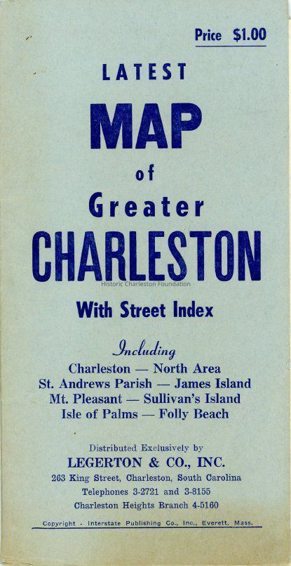
Latest Map of Greater Charleston, With Street Index ...Entry/Object ID
2015.020.4Scope and Content
Map of Charleston and vicinity, with street index and points of interest noted. Includes Charleston, North Area, St. Andrews Parish, James Island, Mt. Pleasant, Sullivan's Island, Isle of Palms, and Folly Beach. List of animal hospitals and S.P.C.A. shelters on inside front cover.
Distributed by Legerton Co., Inc. Published by Interstate Publishing Co.
Physical Characteristics: 1 map, 15.75" x 20.75", folded to fit inside 4" x 7" coverCollection
HCF Map CollectionAcquisition
Accession
2015.020Source or Donor
Forrester, Catherine H.Acquisition Method
GiftCredit Line
Courtesy of Cathy ForresterLexicon
Nomenclature 4.0
Nomenclature Secondary Object Term
MapNomenclature Primary Object Term
CartographNomenclature Sub-Class
Graphic DocumentsNomenclature Class
Documentary ObjectsNomenclature Category
Category 08: Communication ObjectsSearch Terms
Peninsula maps, Charleston (S.C.)--Maps, Charleston County (S.C.)--MapsArchive Details
Archive Size/Extent
1 map, 32" x 45", folded to fit inside 4.5" x 8.5" coverArchive Notes
Date(s): 1954?
Publisher: Interstate Publishing Co.
Place Published: Everett, MALocation
Location
Container
FolderDrawer
Drawer 4Cabinet
Blueprints-Maps 5Room
Margaretta P. Childs ArchivesBuilding
Missroon HouseCategory
PermanentDate
February 7, 2023General Notes
Note
Notes: Date estimated by entry in Catalog of Copyright Entries, Maps and Atlases, Jan.-June 1954, https://ia700708.us.archive.org/3/items/catalogofcopyrig386libr/catalogofcopyrig386libr_bw.pdf) and the presence certain points of interest, e.g., Charleston Museum, Argyle Hotel, Charleston Hotel, Sergeant Jasper Apartments, etc.Created By
admin@catalogit.appCreate Date
July 27, 2015Updated By
admin@catalogit.appUpdate Date
February 16, 2023