Name/Title
South Carolina Transportation Route MapsEntry/Object ID
2019.001.4a-eScope and Content
Photocopies of various road and railroad maps:
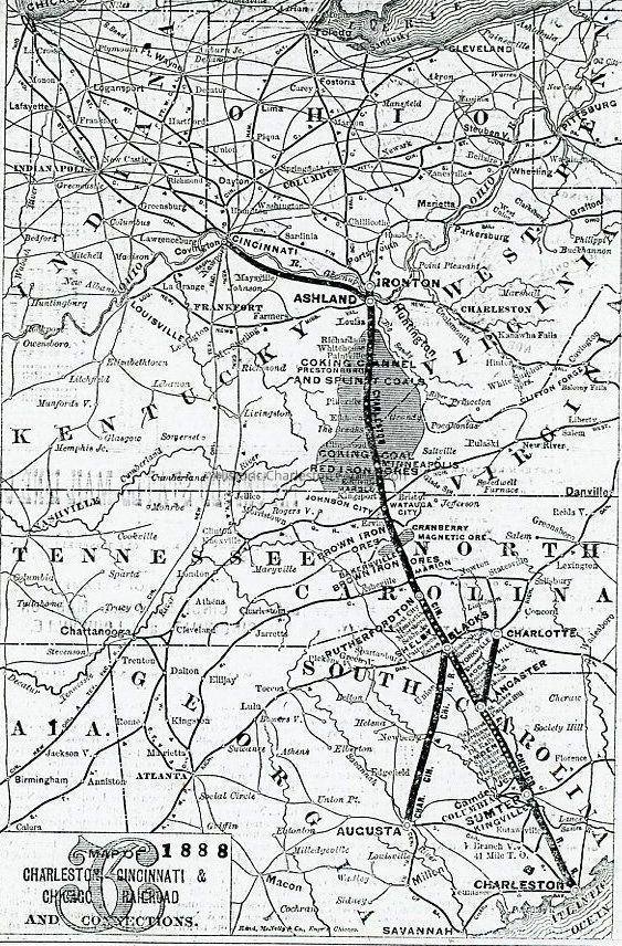
a: Map of Charleston Cincinnati & Chicago Railroad and Connections, 1888. Shows the route from Charleston, SC, to Cincinnati, OH. (Measures 7,5" x 11".)
b: Map of the Seaboard Air Line Company, 1903. Shows the routes from Havana, Cuba, through the southeast states to Washington, DC. (Measures 8" x 11".)
c: Map of the Southern Railway Co. System, 1903. Shows the routes from Florida to Washington, DC. (Measures 8" x 11".)
d: "Automobile Map" of South Carolina, undated. Shows "first class roads" and "fair roads." (Measures 11" x 13".)
e: Map of South Carolina "From the Latest Federal, State and Transportation Surveys," 1915. (Measures 11" x 15".)
Sources of original maps not indicated.Collection
HCF Map CollectionAcquisition
Accession
2019.001Source or Donor
New Archives Catalog Records (2019)Acquisition Method
Collected by StaffLexicon
Nomenclature 4.0
Nomenclature Secondary Object Term
MapNomenclature Primary Object Term
CartographNomenclature Sub-Class
Graphic DocumentsNomenclature Class
Documentary ObjectsNomenclature Category
Category 08: Communication ObjectsSearch Terms
Road maps--Southern states, Railroad maps--Southern states, Air travel maps--Southern statesArchive Details
Archive Notes
Date(s): Various
Finding Aids: See Finding Aid to Architectural Drawings, Maps, and Plats.
See List of Properties; then locate Cabinet, Drawer, Folder.
Level of Description: ItemLocation
Location
Container
Misc. Plats & MapsDrawer
Drawer 1Cabinet
Blueprints-Maps 6Room
Margaretta P. Childs ArchivesBuilding
Missroon HouseCategory
PermanentDate
February 7, 2023Created By
admin@catalogit.appCreate Date
February 11, 2019Updated By
admin@catalogit.appUpdate Date
February 17, 2023