Name/Title
35 Prioleau Street (Napier's Range)Entry/Object ID
PRIOLEAU.25.1Scope and Content
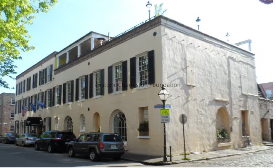
The Project Area is defined by the bounds of Charleston County Tax Parcel #4580902007 and is today known as No. 35 Prioleau Street in downtown Charleston. Built as one large structure on the west side of Prioleau Street between Cordes and Gendron Streets and known as Napier's Range (antebellum period), No. 5-7 Prioleau Street (post Civil war to World War II era) and No. 35-37 Prioleau Street (post World Wear II). It is a unique example of a rehabilitated nineteenth-century commercial structure and is representative of the antebellum warehouses that historically lined Charleston's Cooper River wharves.Context
House history Report prepared by BVL Historic Preservation Research July 2022Collection
Historic Charleston Foundation Property RecordsCreated By
sduffy@historiccharleston.orgCreate Date
October 22, 2025Updated By
sduffy@historiccharleston.orgUpdate Date
October 22, 2025