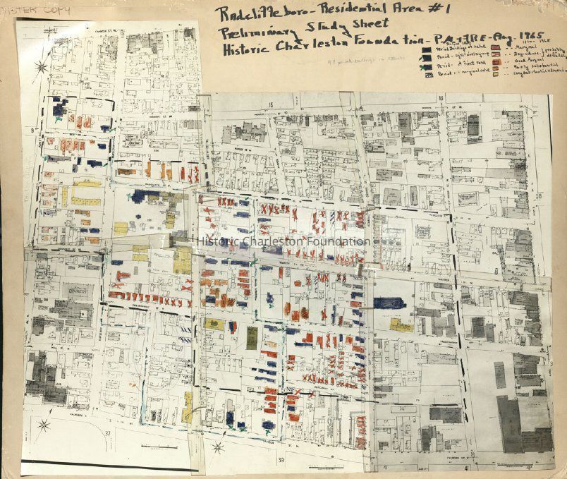
Radcliffeboro [sic], Residential Area #1: Preliminary Study Sheet [Map]
Entry/Object ID
HCF.005.10a
Scope and Content
Copy of a Sanborn Map hand-colored and annotated for use by Historic Charleston Foundation to study Radcliffeborough.
Color-coding depicts building status and condition; see color key for details.
Created by P.M. (Peter McCahill) and F.R.E. (Frances R. Edmunds), August 1965.