HUB
Collections
Classifications
About
App
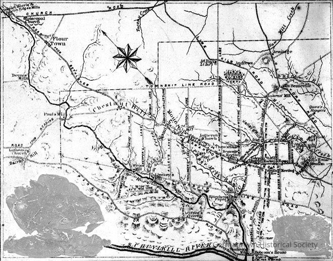
Map of the former Germantown Township
Photograph
-
Historic Germantown
Name/Title
Map of the former Germantown Township
Entry/Object ID
2012.6.212
Description
Map of the former Germantown Township, showing Germantown, Mount Pleasant, Mount Airy, and Chestnut Hill, as well as troop movements during the Revolutionary War.
Dimensions
Dimension Notes
Print Size: 4x5