Name/Title
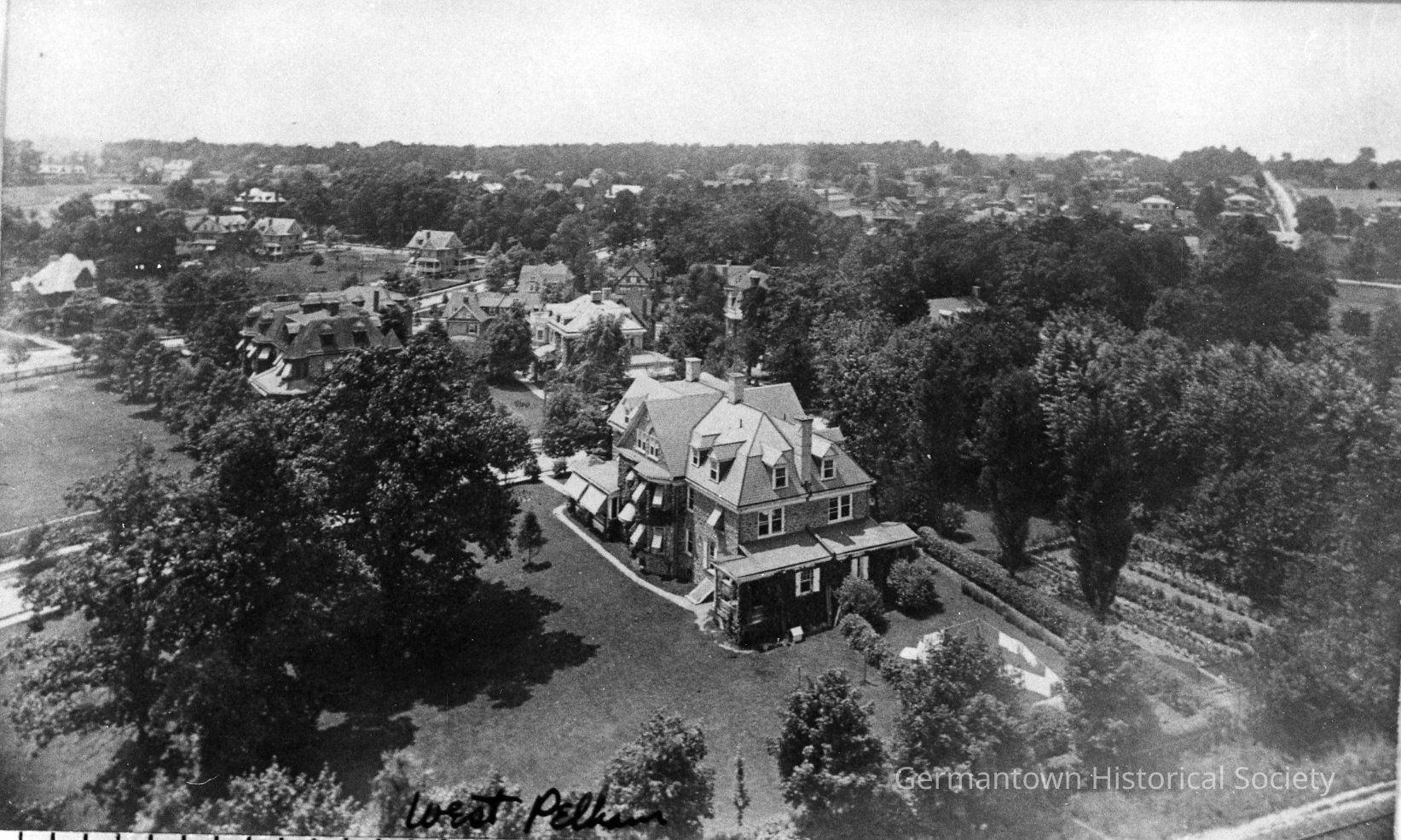
Pelham aerial viewEntry/Object ID
2010.383.9Description
Black and white reprint of photo of aerial view the Pelham neighborhood of Mt. Airy. The right of way of the former Pennsylvania Railroad's [now SEPTA] Chestnut Hill West line is visible in the extreme lower right-hand corner of the image. Note that at the turn of the 20th century, much open space remained.Photograph Details
Subject Place
* Untyped Subject Place
unknownMade/Created
Studio
UnknownNotes
Author: UnknownDimensions
Dimension Notes
Print Size: 5 x 7"