Name/Title
The WissahickonEntry/Object ID
2013.34.1.182Description
The Edwin C. Jellett Series of Scrapbooks, Volume 1, Part 2- The Wissahickon
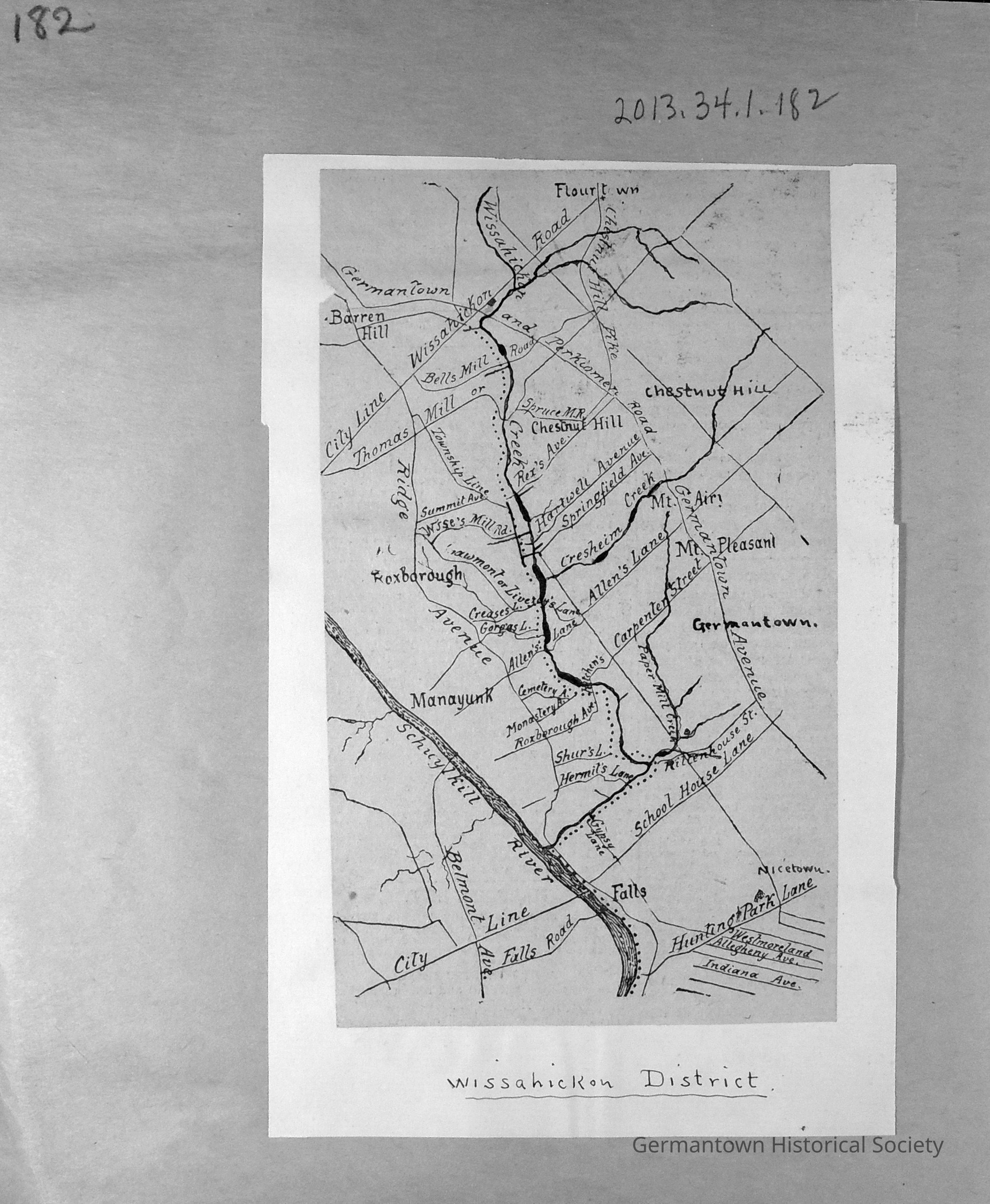
Page 182 contains a photographic replica of an old map entitled "Wissahickon District." The map defines an area emcompassing Barren Hill and Flourtown in the north east and west and extending as far south as Nicetown. The principal emphasis is a detailed drawing of prominent streets/roads iin Germantown, Chestnut Hill and Manayunk and Roxborough (those sections being clearly listed on the map). The origin of the original map and the year of both the map and this reproduction are unknown.Collection
GHS Scrapbook Collection