Name/Title
The WissahickonEntry/Object ID
2013.34.3.22Description
The Edwin C. Jellett Series of Scrapbooks, Volume 3 -The Wissahickon
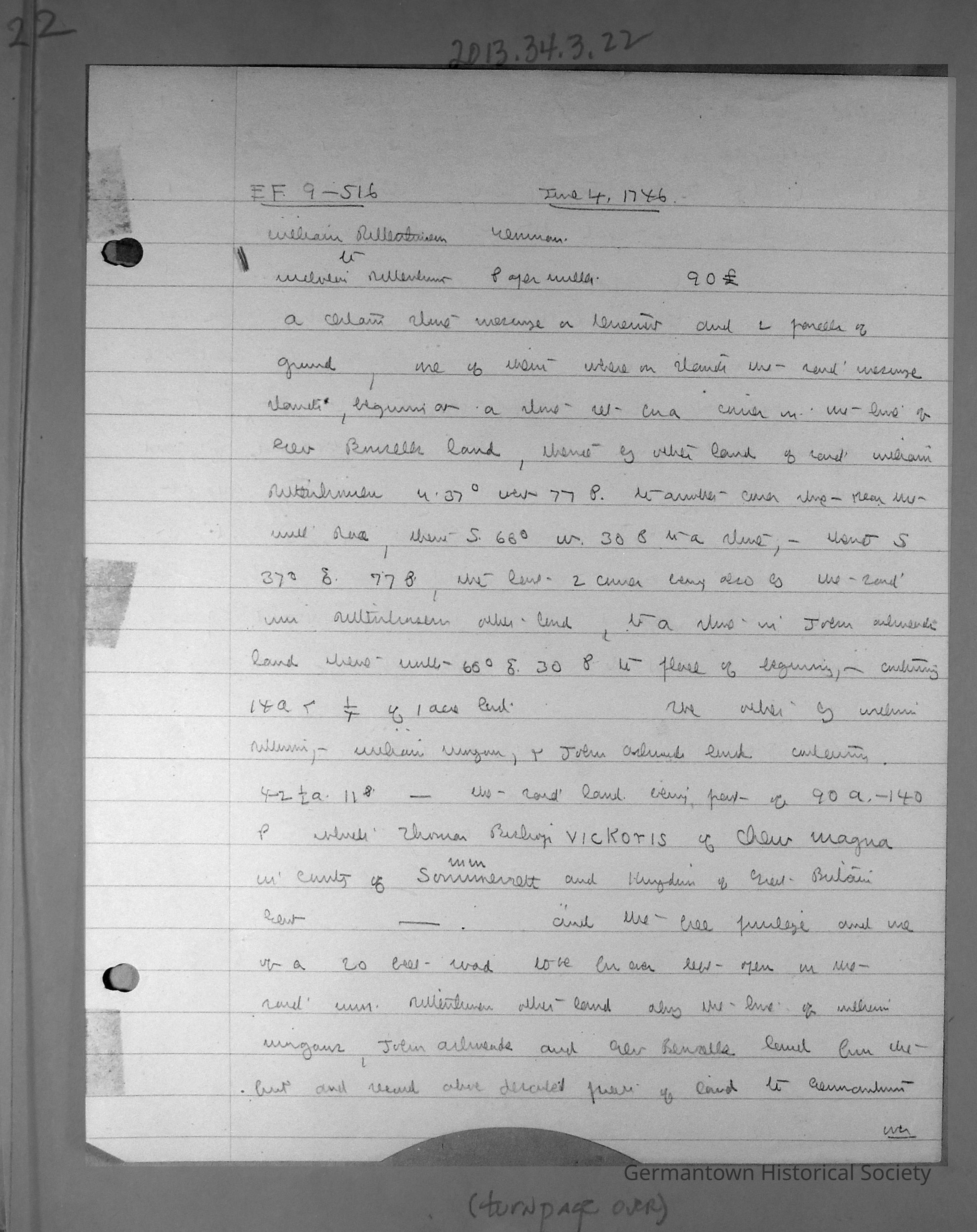
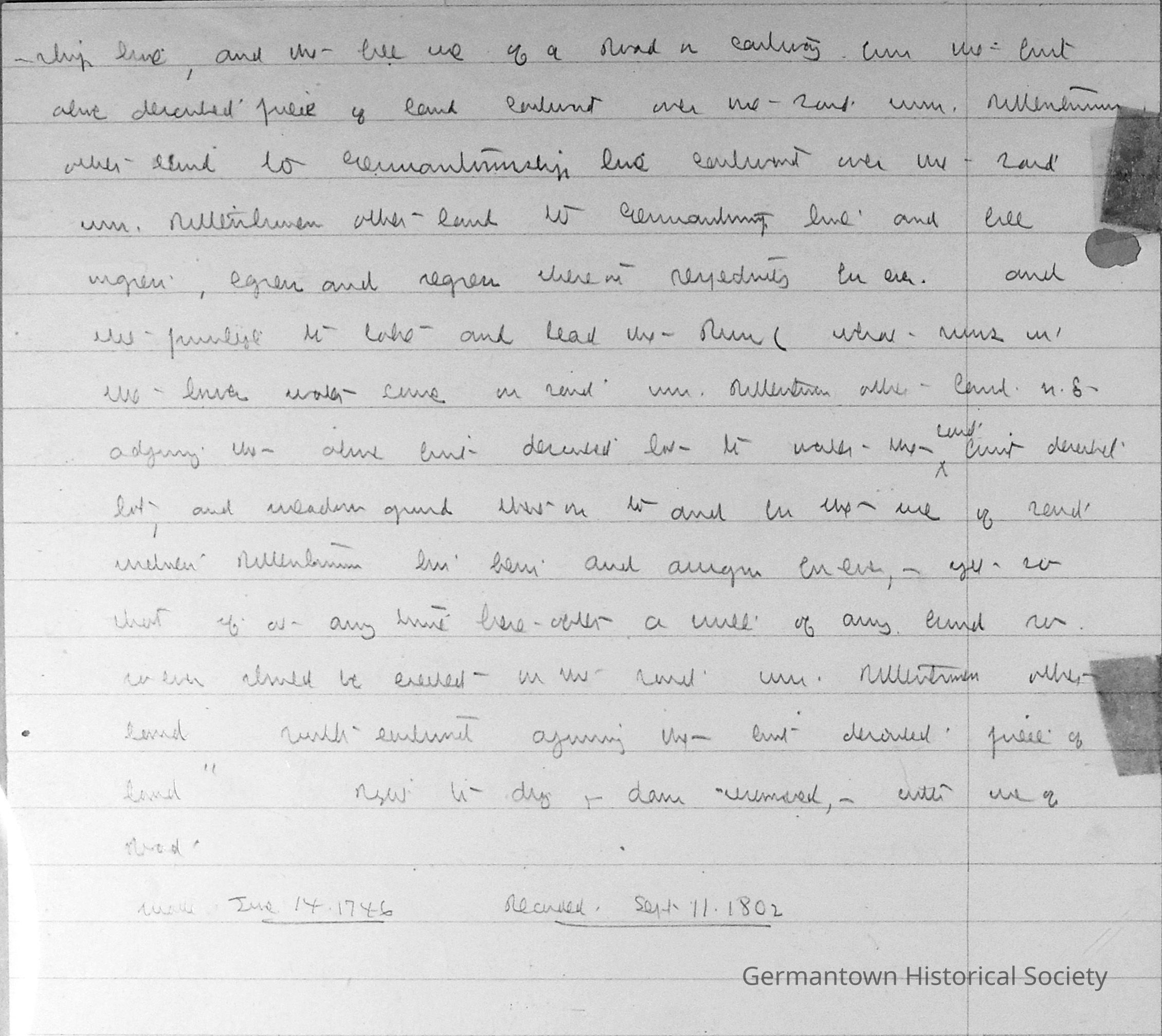
Page 22 contains notes by Jellett, transcribed as follows:
(This constitutes a rendering of the transcription made by John McArthur Harris, Jr., March 18, 1983)
E. F. 9-516 June 4, 1746
William Rittenhouse - German
to
Melvin Rittenhouse - Paper Miller 90 (Symbol for English pounds)
A certain stone messuage or tenement and 2 parcels of ground, one of them whereon stands the said messuage, beginning at a stone set in a corner in the line of George Bensell's land, thence by other land of said William Rittenhouse, N.37 degrees W. 77P. to another corner stone - near the mill race - thence S 66 degrees W. 30 P. to a stone, S. 37 degrees E., 77 P. , the line to corner being also by the said Wm. Rittenhouse's other land, to a stone in the John Ashmead land, thence N. 60 degrees E., 30 P. to place of beginning. Containing 14 acres and 1/4 acres of land.
The other by William Silliman (?), William Morgan, and John Ashmead's land. Containing 42 1/2 acres, 11 P. The said land being part of 90 acres, 140 P. which Thomas Bishop Vickoris of Chew Magma in the county of Somerset and kingdom of Great Britain, Gent. - - and the free privilege and use of a 20 feet road to be forever left open in the said William Rittenhouse's other land, along the line of William Morgan's, John Ashmead's, and George Bensell's land, from the first and second above-described pieces of land to Germantown township line, and the free use of a road or cartway from the first above-described piece of land, eastward over the said William Rittenhouse's other land to Germantownship line, and full ingress, egress and regress thereon, respectively, forever. And the privilege to take and lead the run which runs in the lower water lane on said Wm. Rittenhouse's other land, N.E. adjoining the first above-described lot, to water the said first-described lot and meadow ground thereon, to and for the use of said William Rittenhouse, his heirs and assigns forever - yet, so that if at any time hereafter a mill of any kind soever should be erected on the said Wm. Rittenhouse's other land, southeastward adjoining the first-described piece of land. Right to dig and dam "unreserved", with use of road.
Made June 14, 1746 Rec'd Sept. 11, 1802Collection
GHS Scrapbook Collection