Name/Title
The WissahickonEntry/Object ID
2013.34.9.3Description
The Edwin C. Jellett Series of Scrapbooks, Volume 9 -The Wissahickon
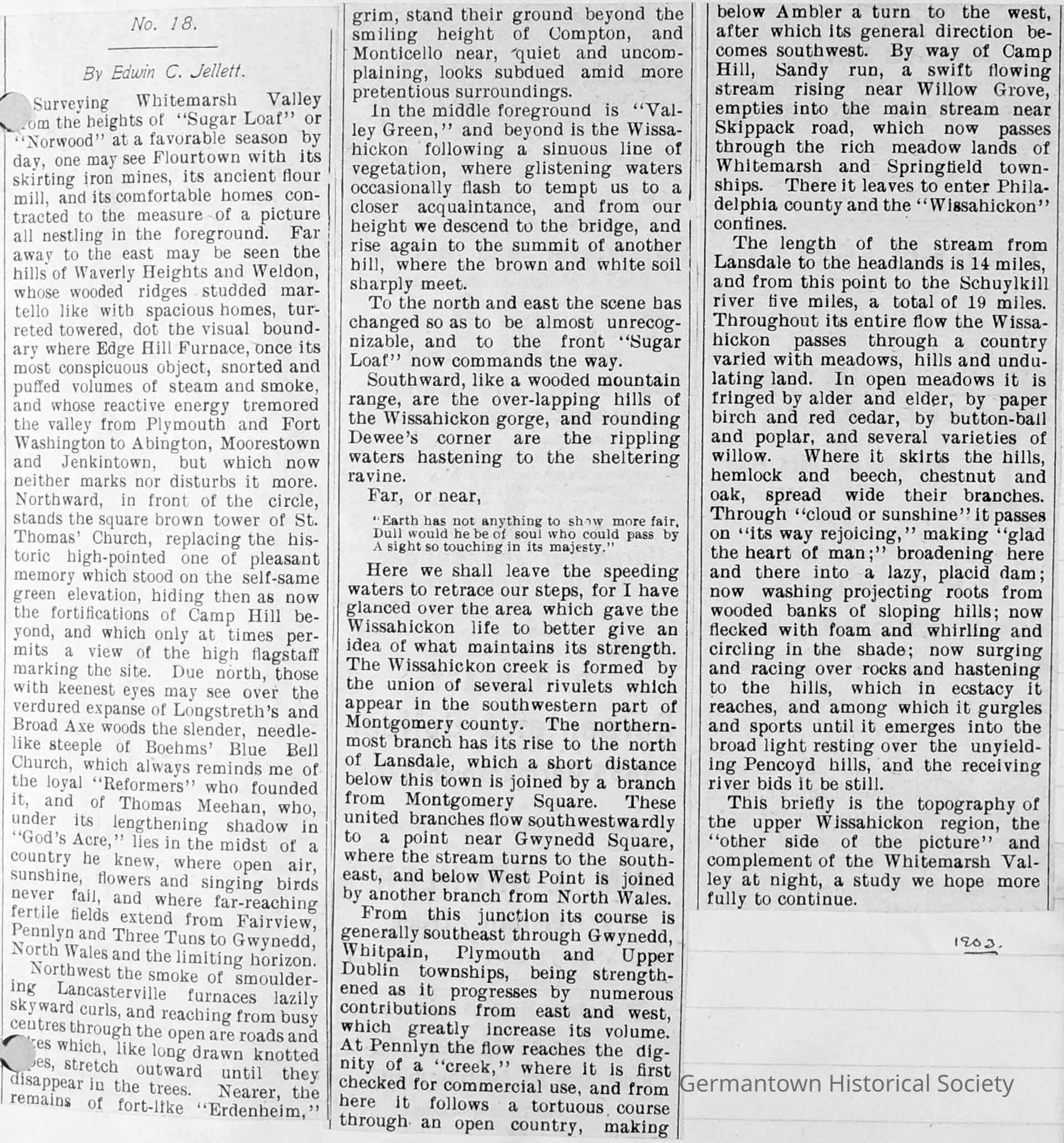
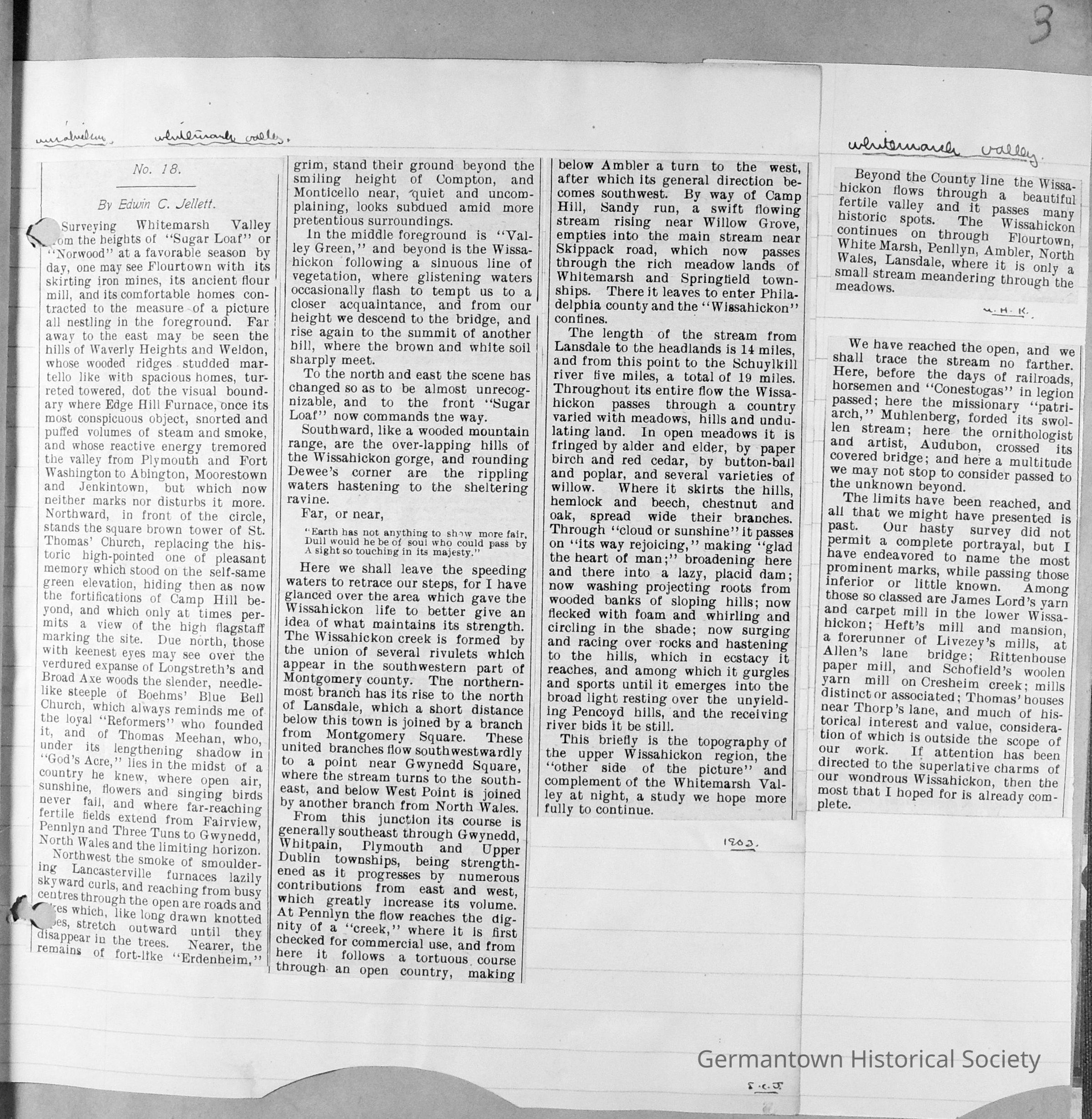
Page 3 contains a three column clipping labeled "No. 18" by Jellett and dated (in Jellett's handwriting) as 1903. There are also two additional small clippings which continue the theme found in "No. 18". Consequently, all three clippings are considered as one. Jellett begins by surveying the landscape from the heights of "Sugar Loaf" or "Norwood" in Chestnut Hill where he has an almost panoramic view of the surrounding Montgomery county countryside. He names all of the locales and then describes the parameters of the Wissahickon beginning with the northernmost rivulet branch outside of Lansdale and flowing south, joining with other branches and courses southeastward until it crosses the Philadelphia county line and becomes the "Wissahickon". The Wissahickon flows a total of 19 miles and empties into the Schuylkill River.Collection
GHS Scrapbook CollectionMade/Created
Date made
1890 - 1910Notes
Creation Date: 1903