Name/Title
The WissahickonEntry/Object ID
2013.34.1.71Description
The Edwin C. Jellett Series of Scrapbooks, Volume 1- The Wissahickon
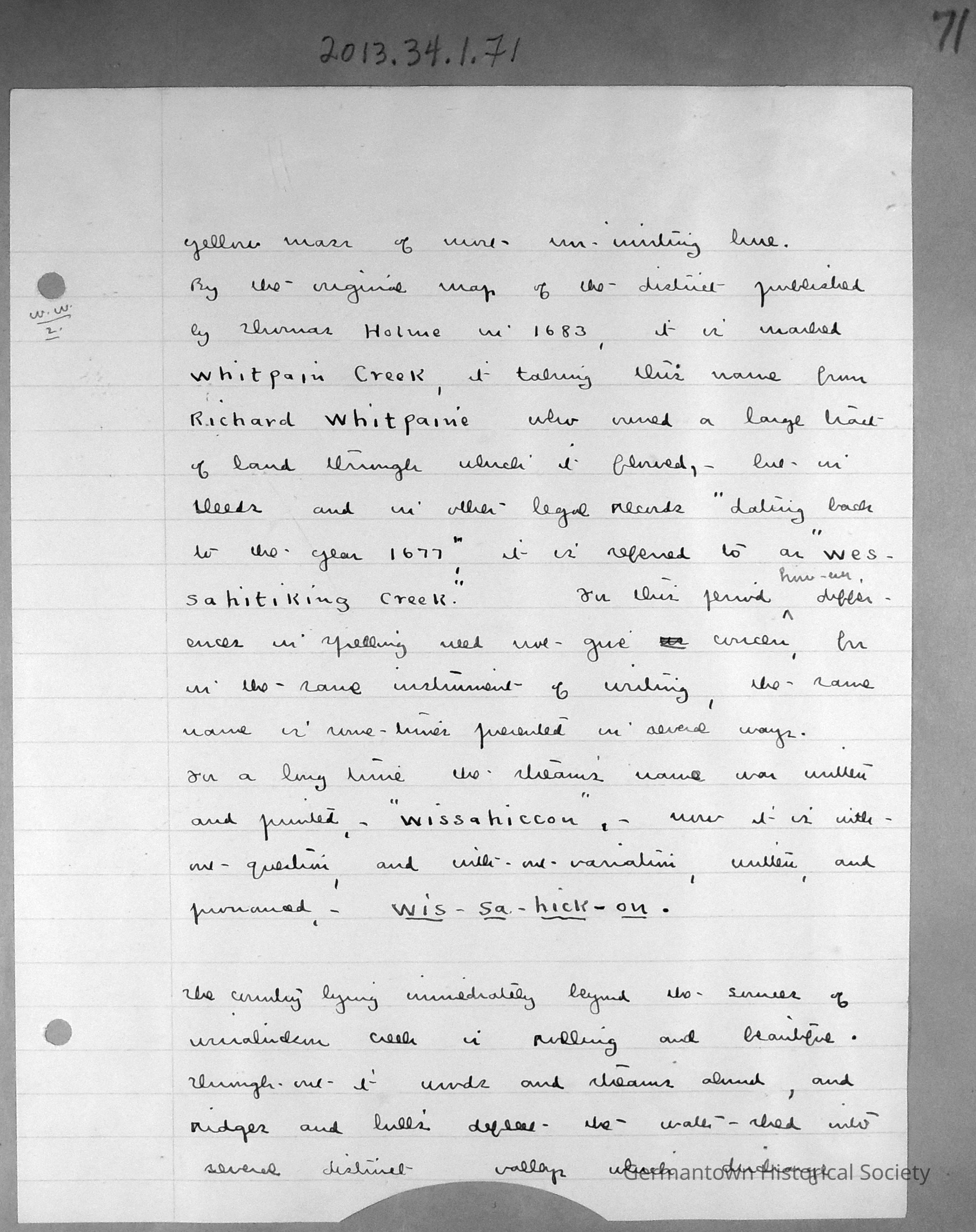
Page 71 contains a lined sheet of white notepaper with Jellet's Notes entitled "Wiissahickon Waters". Page 71 is a continuation of notes begun on page 70 (see 2013.34.1.70). The page can be summarized as follows:
The original map of the district was published by Thomas Holme in 1683. It was originally known as Whitpain's Creek (after Richard Whitpain, who owned a large tract of land through which the creek flowed). However, in deeds and records as far back as 1677, it is referred to as "Wessahitiking Creek". For some time, the stream name was written as "Wissahiccon", but is universally now written and spelled as "Wissahickon".
The country immediately beyond the Wissahickon is described as beautiful and rolling. It is prevalent with woods and streams, ridges and hills which divide the water shed into distinct valleys which discharge their collections to divergent points.Collection
GHS Scrapbook Collection