Name/Title
The WissahickonEntry/Object ID
2013.34.1.74Description
The Edwin C. Jellett Series of Scrapbooks, Volume 1- The Wissahickon
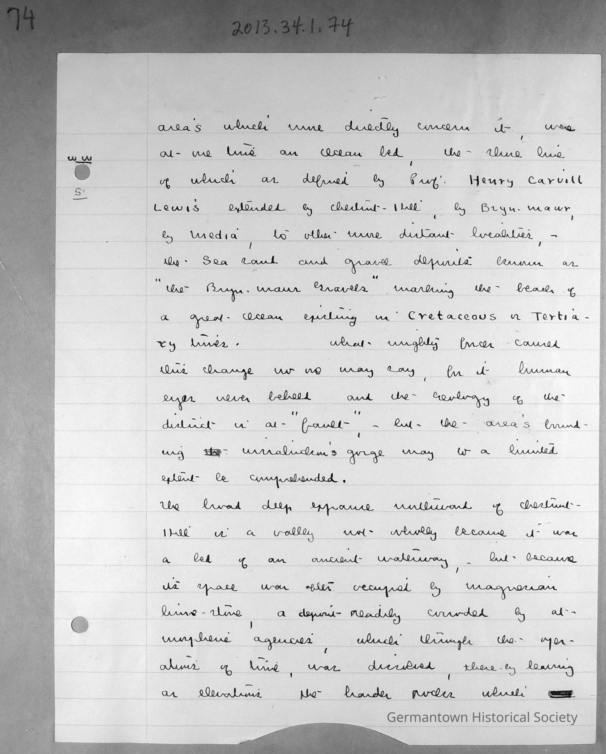
Page 74 contains a lined sheet of white notepaper with Jellet's Notes entitled "Wiissahickon Waters". Page 74 is a continuation of notes begun on page 70 (see 2013.34.1.70). The page can be summarized as follows:
The country indicated was at one time (in prehistoric times) an ocean bed with the shoreline (defined by Professor Henry Carvill Lewis) as Chestnut Hill to Bryn Mawr to Media and to other distant localities. The sea sand and gravel deposits are known as "The Bryn Mawr Gravels". What caused this is unknown, but the areas bounding the Wissahickon gorge may (to a limited extent) be explained.
The valley northward of Chestnut Hill is a valley because it was an ancient waterway bed and also because of the magnesian limestone deposits there which eroded and dissolved all materials.Collection
GHS Scrapbook Collection