Name/Title
The WissahickonEntry/Object ID
2013.34.1.75Description
The Edwin C. Jellett Series of Scrapbooks, Volume 1- The Wissahickon
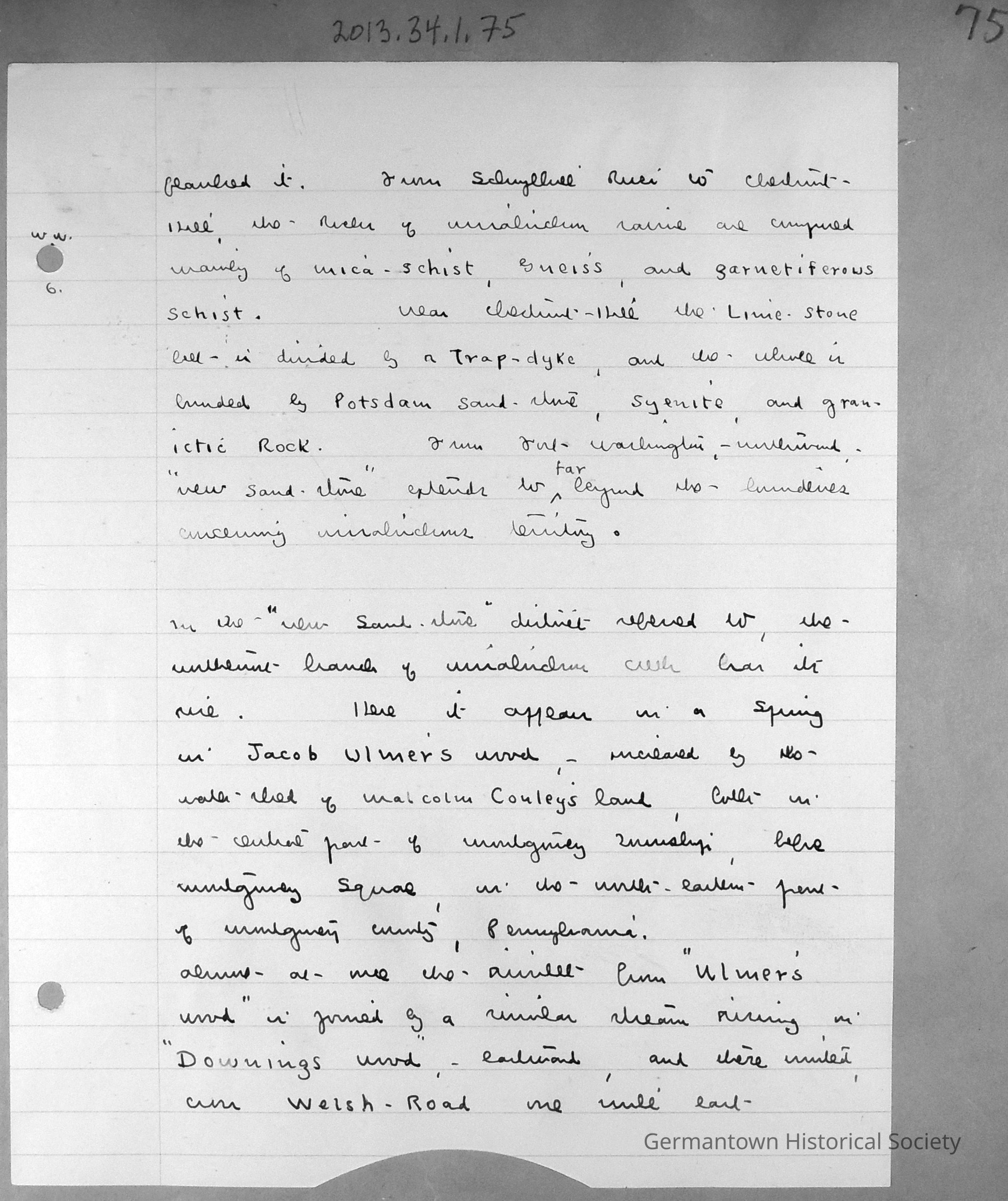
Page 75 contains a lined sheet of white notepaper with Jellet's Notes entitled "Wiissahickon Waters". Page 75 is a continuation of notes begun on page 70 (see 2013.34.1.70). The page can be summarized as follows:
From the Schuylkill River to Chestnut Hill, the rocks of the Wissahickon ravine are composed mainly of schist. Near Chestnut Hill is a limestone belt and the whole is bounded by Potsdam sandstone and other rocks. "New Sandstone" extends northwards from Ft. Washington.
In the "New Sandstone" area, the Wissahickon has its rise. It appears as a spring in Ulmer's Woods, increases in Malcolm Cauley's land (both in the central part of Montgomery Township, below Montgomery Square). The rivulet from Ulmer's Wood is joined by another eastward stream rising in "Downing's Wood" and units with Welsh Road, east of Lansdale.Collection
GHS Scrapbook Collection