Name/Title
The WissahickonEntry/Object ID
2013.34.1.77Description
The Edwin C. Jellett Series of Scrapbooks, Volume 1- The Wissahickon
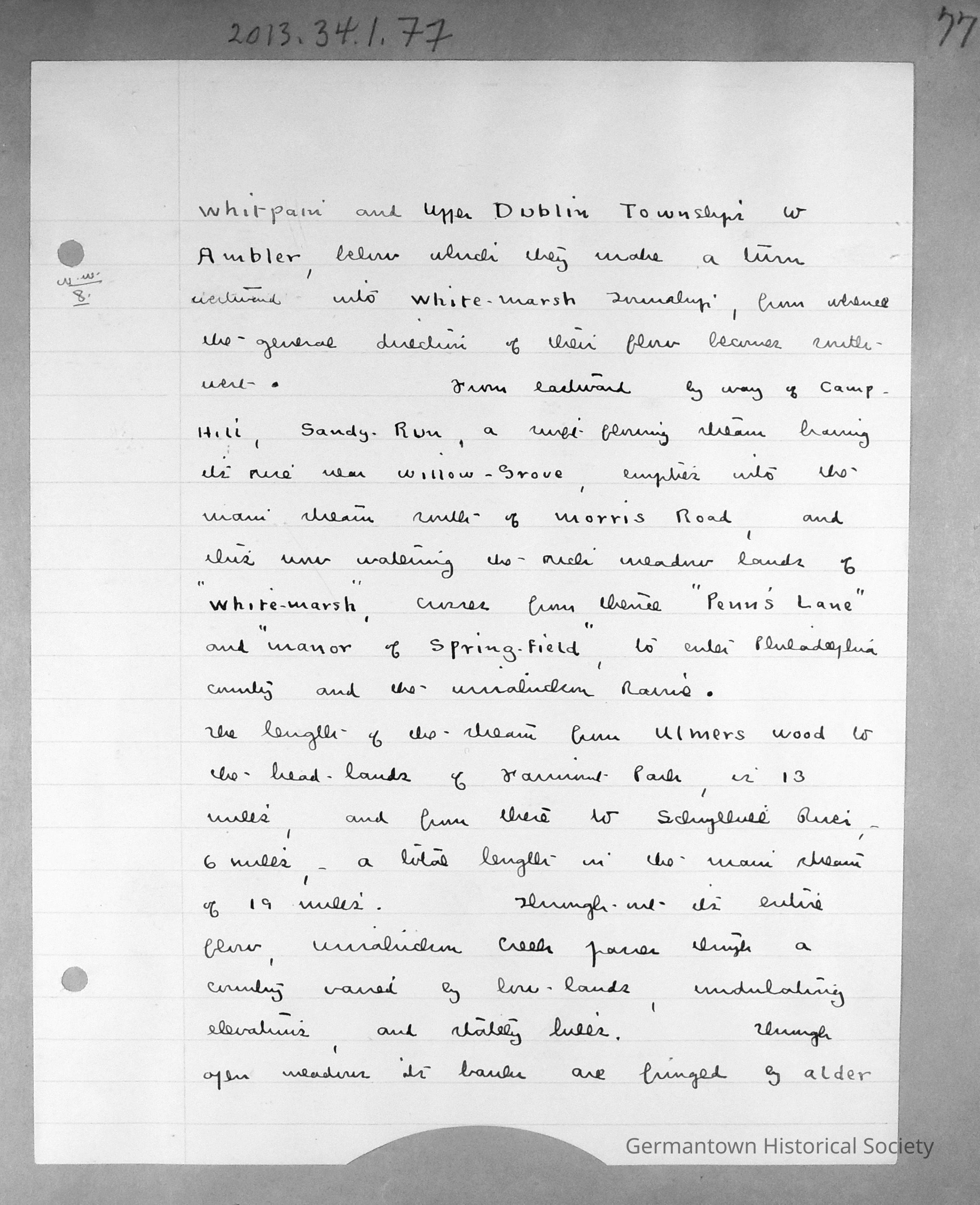
Page 77 contains a lined sheet of white notepaper with Jellet's Notes entitled "Wiissahickon Waters". Page 77 is a continuation of notes begun on page 70 (see 2013.34.1.70). The page can be summarized as follows:
From Pennlyn southward, the water flows a toutuous path to Ambler, where it turns westward into Whitemarsh Township and flows southwest. From the east, Sandy Run (a stream rising near Willow Grove) empties into the main stream south of Morris Road and flows through Whitemarsh and Springfield into the Wissahickon Ravine in Philadelphia County.
The total length of the main stream is 19 miles (13 miles from Ulmer's Woods to Fairmount Park and an additional 6 miles from the Park to the Schulykill River). Throughout its course, the Creek passes through varied terrain.Collection
GHS Scrapbook Collection