Name/Title
The WissahickonEntry/Object ID
2013.34.1.6Description
The Edwin C. Jellett Series of Scrapbooks, Volume 1- The Wissahickon
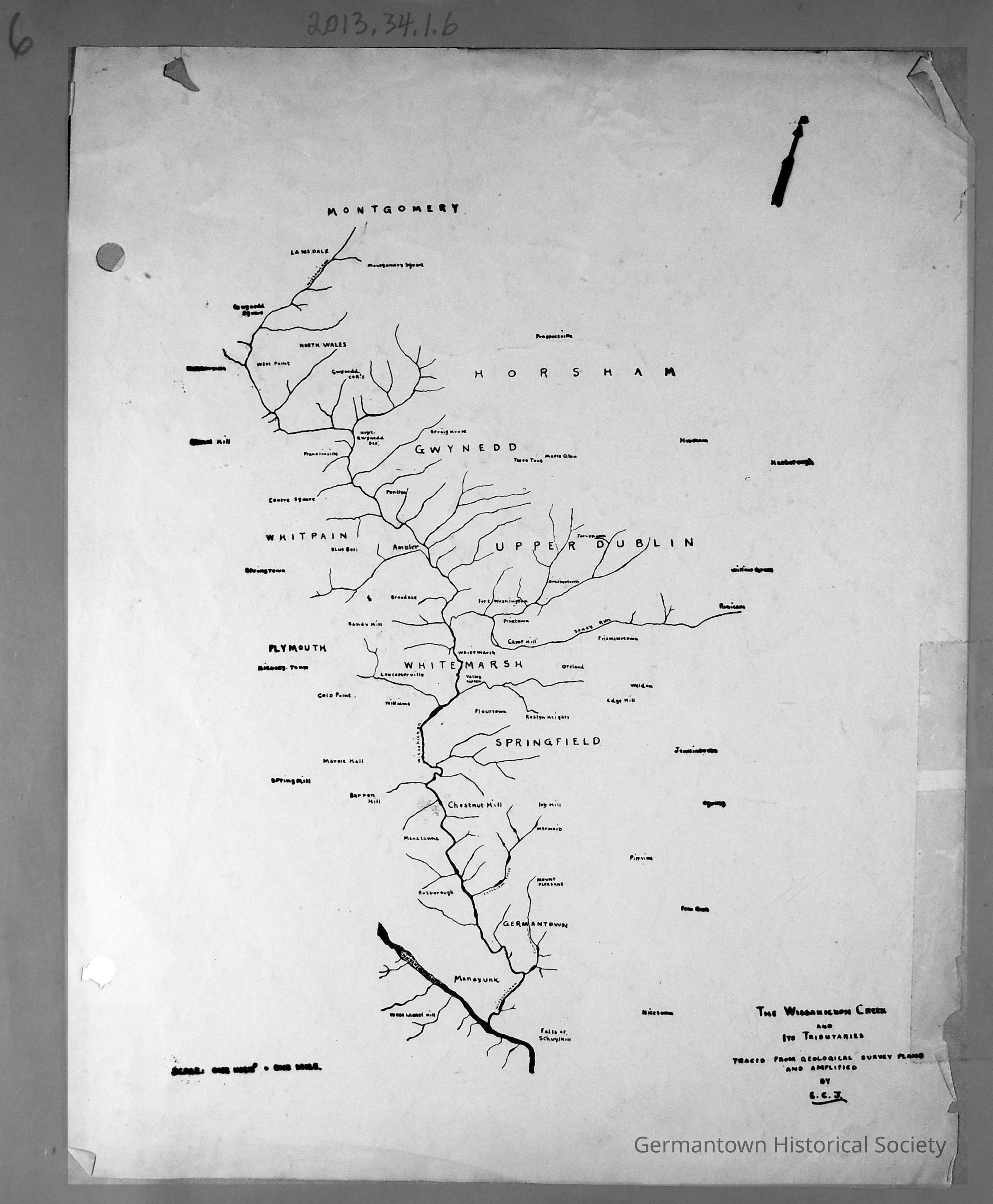
Page 6 contains an illustrated map of the Wissahickon Creek and tributaries from the source (north of Lansdale in Montgomery County)) to the mouth (at the confluence with the Schuylkill River (in Philadelphia). Various towns and townships are listed on the map (in both counties). There is an arrow at the top right pointing North. In the bottom right corner is the following notation:
The Wissahickon Creek and Its Tributaries. Traced From Geological Survey Plans and Amplified by E.C.J. Scale (at bottom left) indicates one inch(?) = one mile.
This map has been traced on a plain piece of white paper and attached to the scrapbook page.Collection
GHS Scrapbook Collection