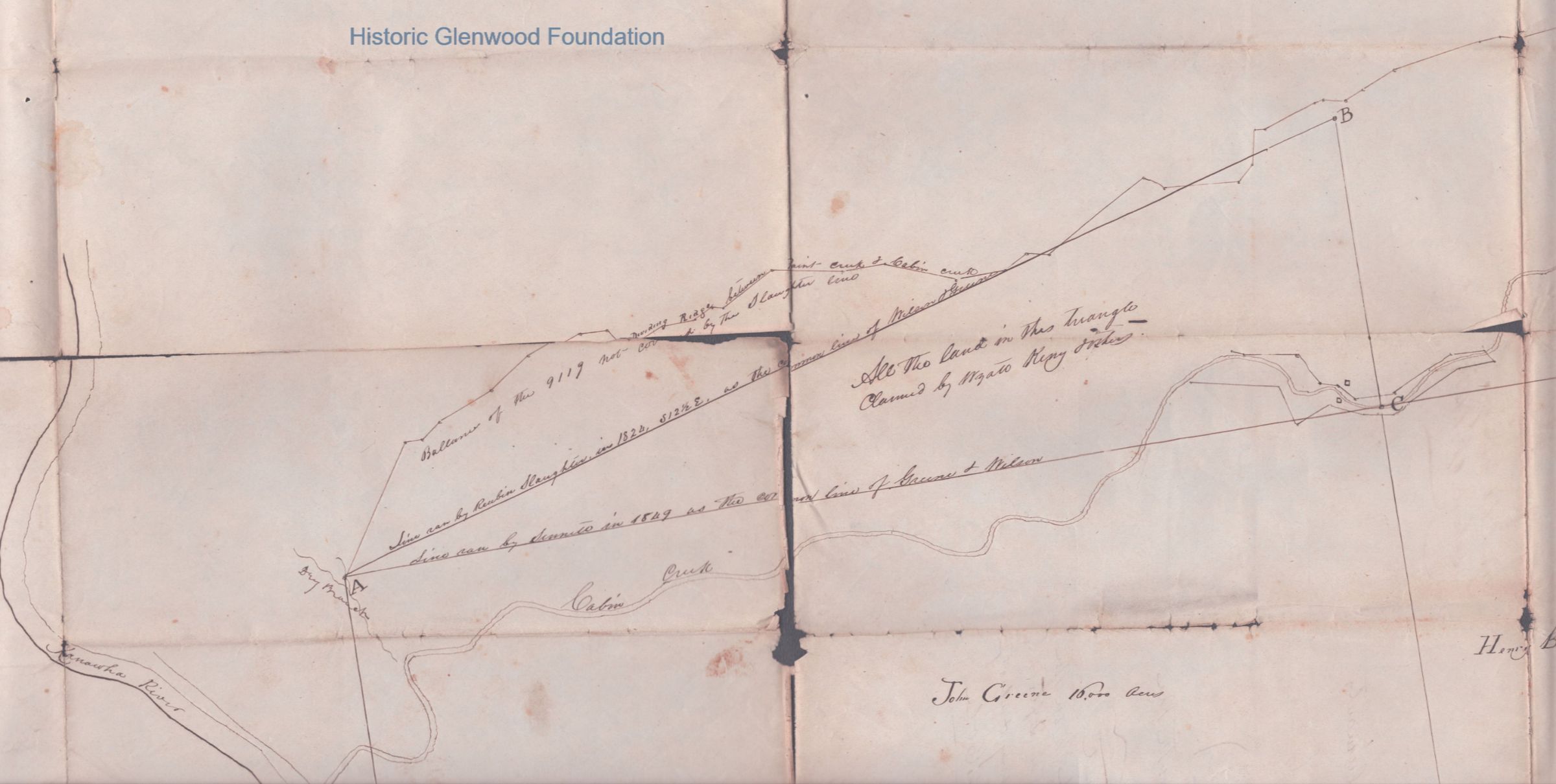
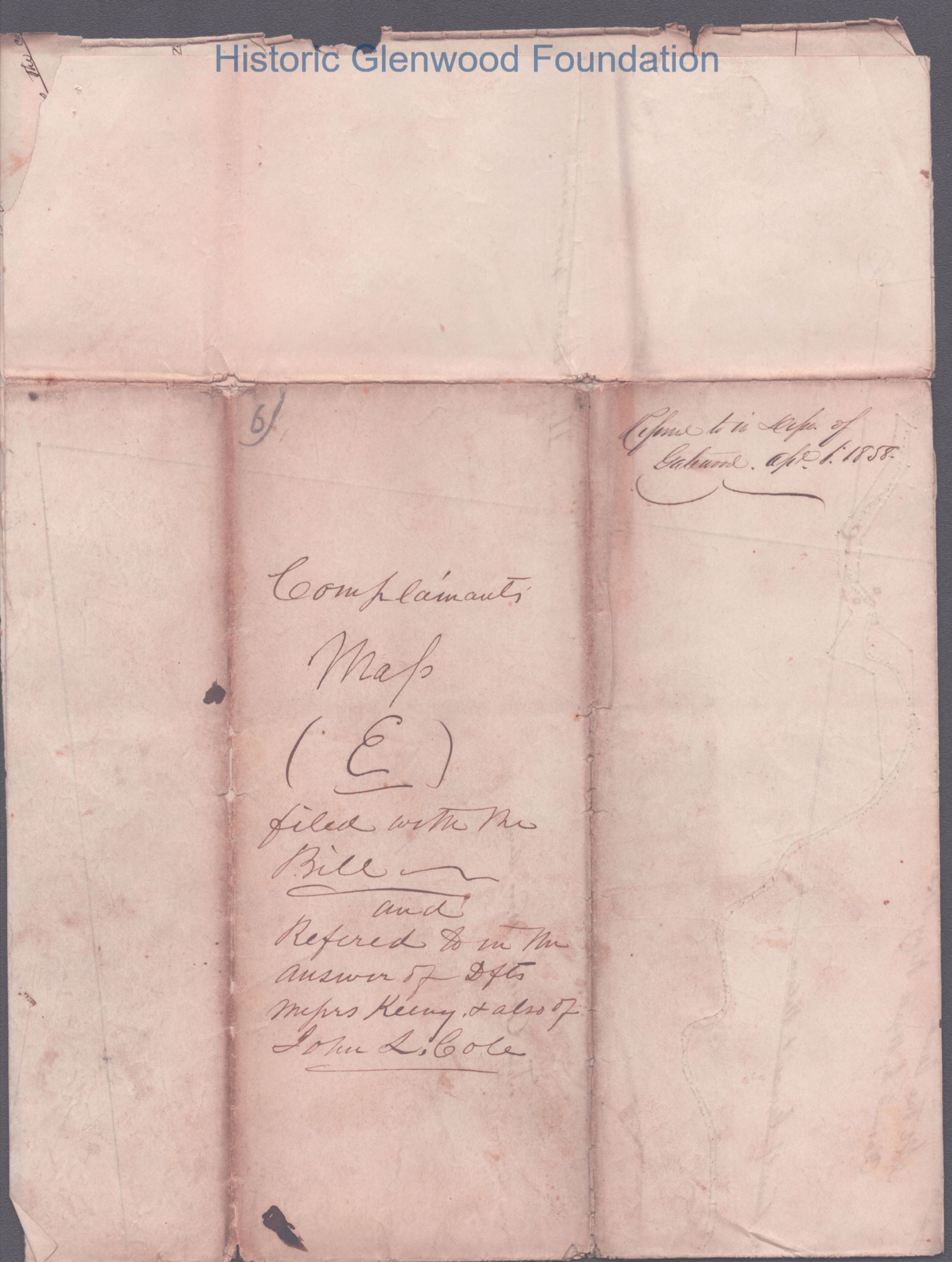
Judge George Summers: Keeney case, Exhibit E, Complainant's Map - Survey of Disputed Lands near Kanawha River and Cabin Creek
Name/Title
Judge George Summers: Keeney case, Exhibit E, Complainant's Map - Survey of Disputed Lands near Kanawha River and Cabin CreekEntry/Object ID
303_c_316_06_03Category
Legal