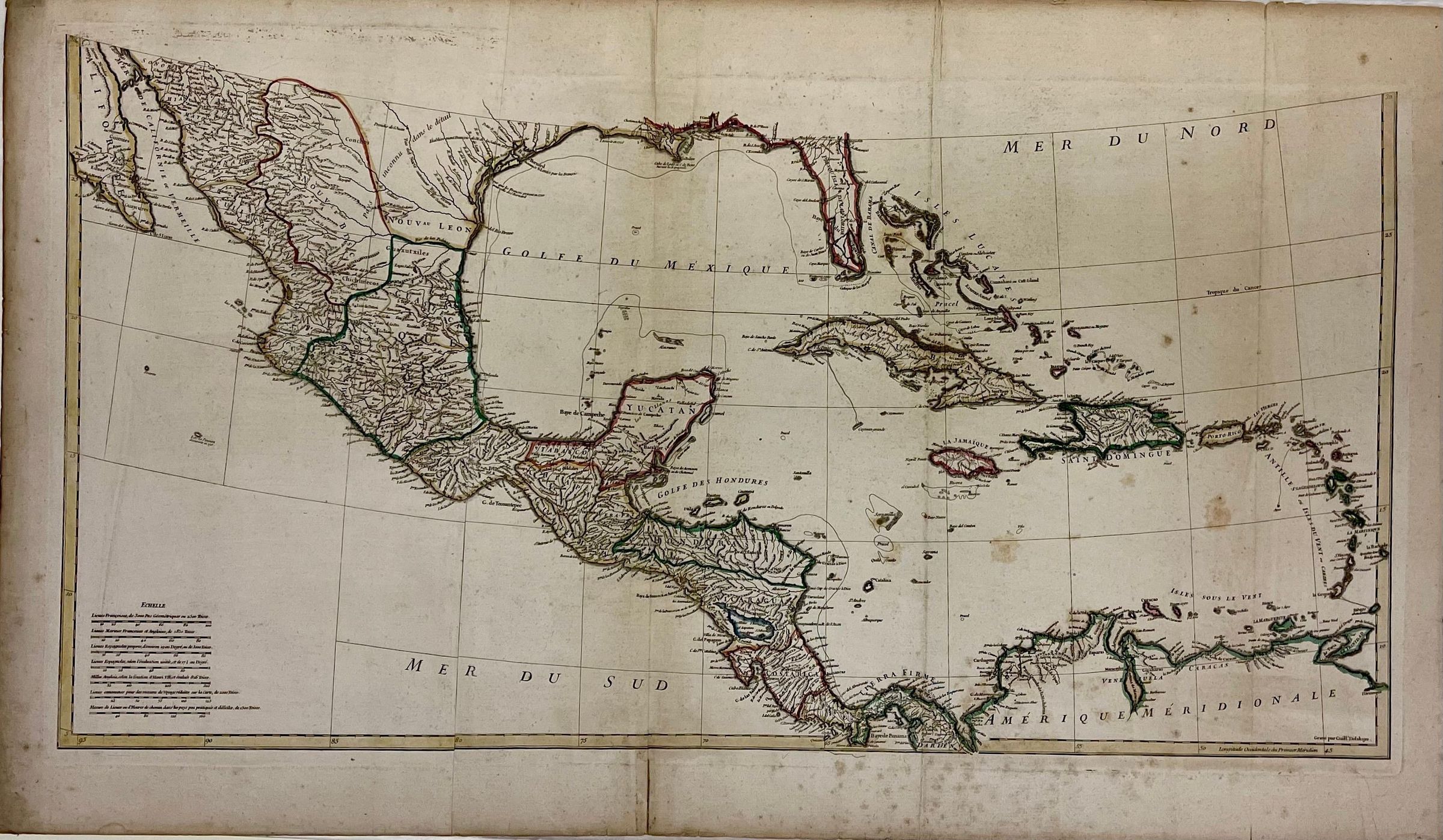
Amerique Septentrionale
Name/Title
Amerique SeptentrionaleEntry/Object ID
PM.69.3 a-bDescription
Map, engraved and tinted, with title "Amerique Septentrionale"; in French; "Published under the auspices of the Duc d'Orleans, the French Prince," by "Sr. D'Anville" in MDCCXLVI" on upper half; on bottom, engraved by "Guill. Delahaye." Also on top, beneath cartouche, in French: "At Paris, home of the author, at the galleries of the Louvre."; map (both parts) covers America (E. Coast-to mid regions), Canada, Mexico, Central America & the Caribbean Islands, or from about 35 degrees W to 100 degrees W and from about 55 degrees N to 5 degrees S, altogether. Scale, on the bottom half, is given in French miles. Top part includes a cartouche in bright reds, green, yellow, pink, etc., with a personification of North America as a semi-nude Indian princess with quiver and bow, feathers, necklace, at right; at left, two putti, one with a large fish; at feet of the princess, an alligator and a wildcat. Regions are engraved in black, with outlines printed in red, blue, yellow and green. Local place names include: Philipsburg, Tappan, New York, Stamford, Norwalk, and more.Collection
Philipsburg Manor Object CollectionMade/Created
Artist Information
Artist
Jean Baptiste B. d'AnvilleAttribution
CartographerArtist
Guillhaume DelahayeAttribution
EngraverDate made
1746Inscription/Signature/Marks
Type
InscriptionTranscription
See descriptionOther Names and Numbers
Other Numbers
PM.69.3 A-B
PM.69.3a-b