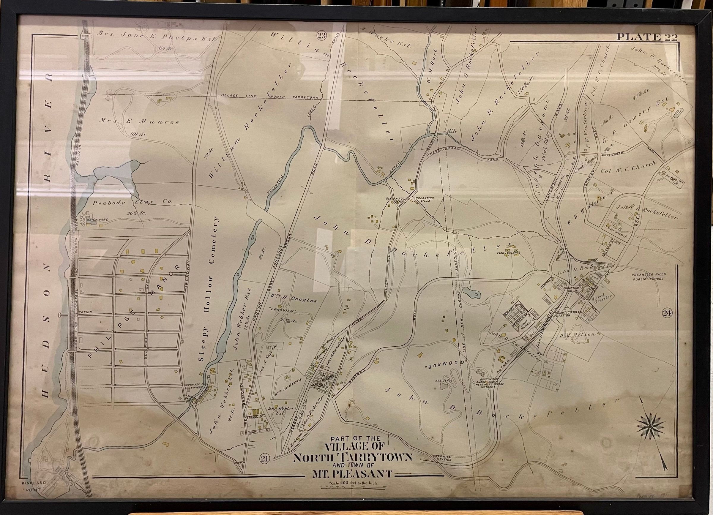
PART OF THE VILLAGE OF NORTH TARRYTOWN AND TOWN OF MT PLEASANT
Entry/Object ID
SS.2021.59 a-b
Description
a. map showing part of North Tarrytown (today Sleepy Hollow), including Sleepy Hollow Cemetery, Phillipse Manor, Old Dutch Church, Kykuit, Pocantico Hills, and part of what is today Rockefeller State Park Preserve; the Hudson River is on the left side of the map and there is a compass in the bottom right hand corner; a black border surrounds the map area; buildings have been colored in yellow and water in blue; informational text reads "PLATE 22 / PART OF THE / VILLAGE OF / NORTH TARRYTOWN / AND TOWN OF / MT. PLEASANT / Scale 400 feet to the Inch";
b. frame, plain black wood showing some separation at the corners on the right side;
Collection
Sunnyside Object Collection
Made/Created
Manufacturer
G. W. Bromley & Company
Date made
1911
Other Names and Numbers
Other Number
SS.2021.56
Dimensions
Dimension Description
Visible
Height
22-1/8 in
Width
31-5/8 in
Dimension Notes
Display Dimensions: 22 1/8 x 31 5/8 in. (56.2 x 80.3 cm)
Dimension Description
Framed
Height
23-5/8 in
Width
33-1/8 in
Depth
3/4 in
Dimension Notes
Display Dimensions: 23 5/8 x 33 1/8 x 3/4 in. (60 x 84.1 x 1.9 cm)