Name/Title
ORLICH, ANTHONY & IGNATZ RED HOOK & MILANEntry/Object ID
2016.011.275Scope and Content
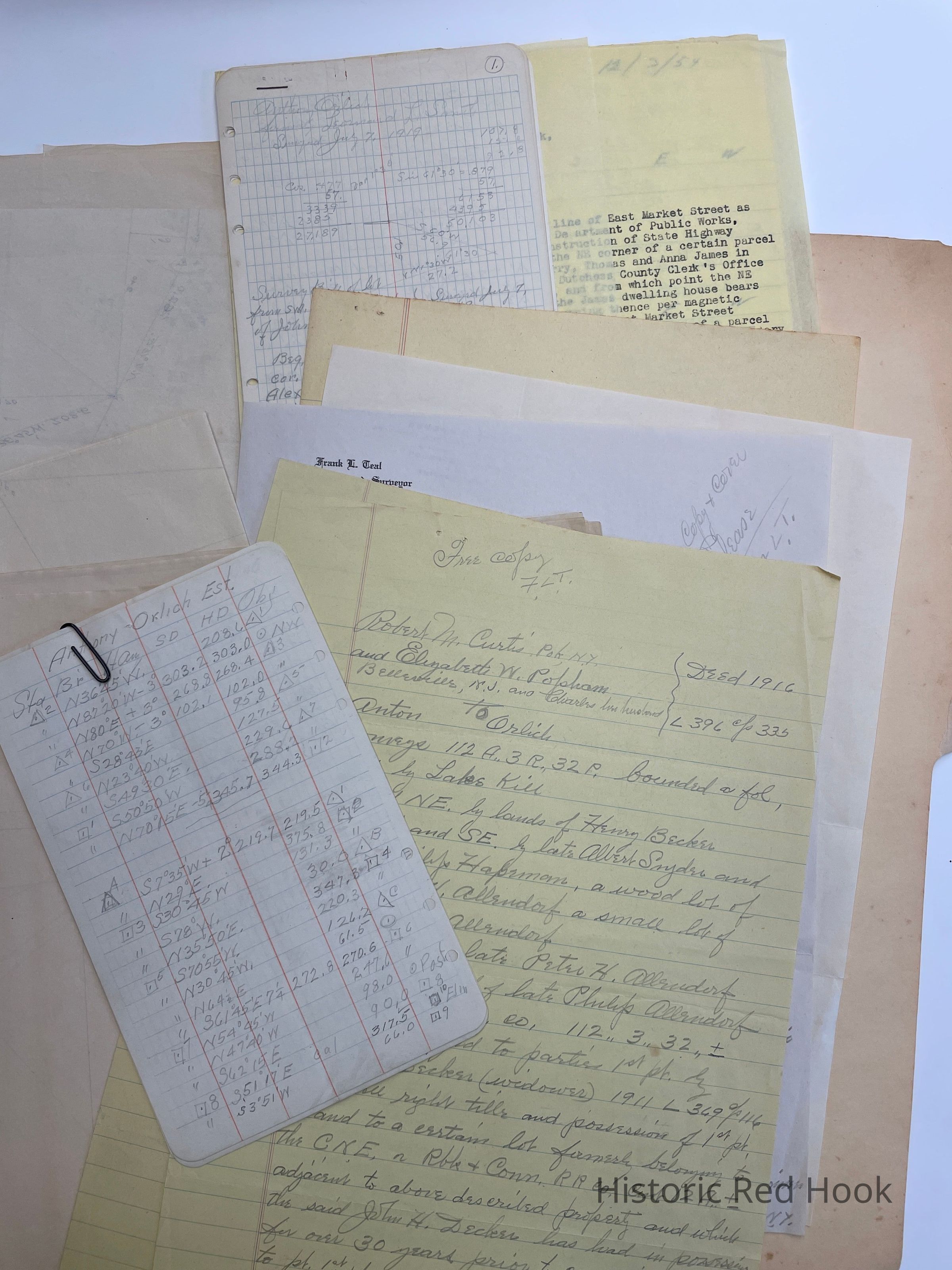
Field Notes: Anthony Orlich Est
Map: 34 Acres
Map: Anthony Orlich, 1951 East Market Street
Survey: For Anthony Orlich Estate Jan 1946 34 acres Southerly portion of farm from Robert M. Curtis et al to Anton Orlich in 1916
Deed: 1916 396:335 Robert M. Curtis, Po’k & Elizabeth Popham of NJ to Anton Orlich 112 acres 3 roods 32 perches. Bounded NW by La(bes Kill), N&E by Henry Becker, E & SE by late Albert Snyder and late Philip Hapeman, a wood lot of late Peter Allendorf, a small lot by late John W. Allendorf, South by late Peter H. Allendorf, west by late Philip Allendorf. Same as John H. Decker (widower) to Robert M. Curtis in 1911 369:116. Also a certain lot of 12 acres formerly belonging to CNE railroad.
Survey: 7 Jun 1919 Parcel from SW portion of farm of John M. Thompson 3.13 acres
Survey: For Ignatz Orlich 12 May 1944 Parcel from land of Nicholas Orlich, in Town of Milan 1.32 acres
Survey: For Anthony & Ignatz Orlich. Dec 1954- land in Village of Red Hook 1.05 acresCollection
Teal-Decker CollectionRelationships
Related Person or Organization
Person or Organization
Teal, Frank L.